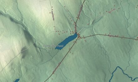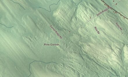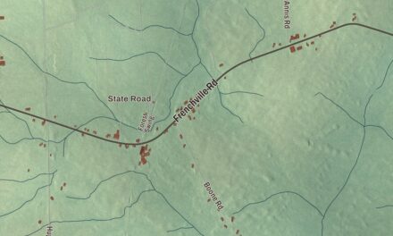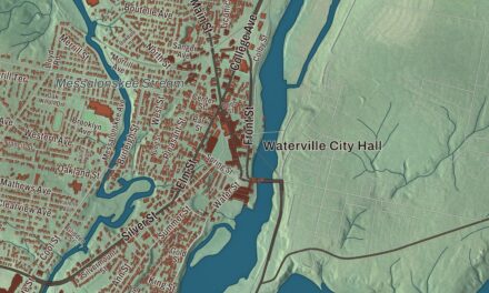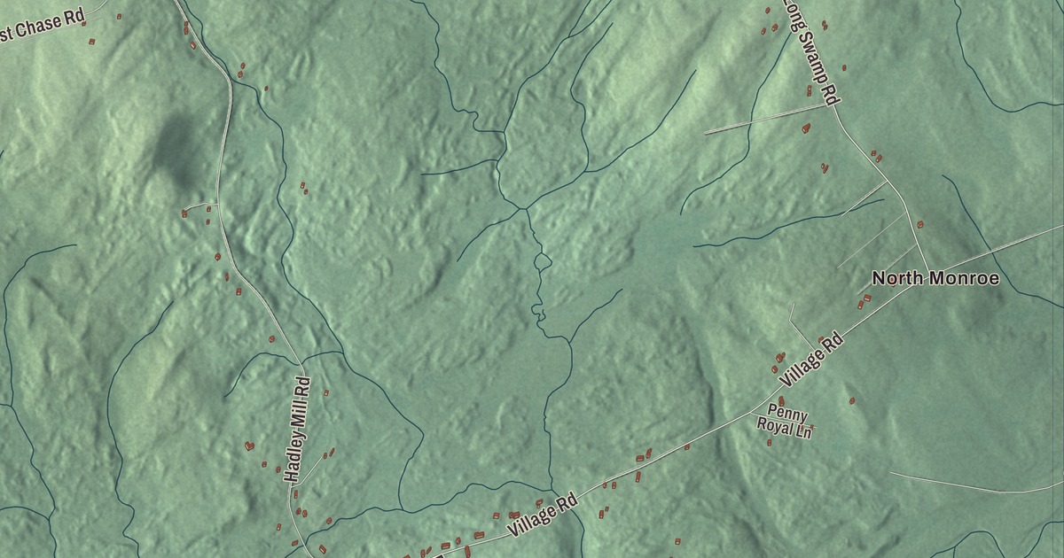
Drake Pond is a place to pick out on the Jackson map before following Moosehead Trail Highway. Look across the aerial view for familiar roads and the buildings you remember. Click here to purchase a print of this map for your wall.
Jackson is a town in Waldo County.
KNOWOL made this map in 2026 using public survey records, United States Geological Survey elevation data and Census Bureau files. We arranged Jackson’s roads, buildings, ponds and waterways, and terrain, the town boundary and the pattern of buildings with the relief, lettering and layout of an atlas.
Hills and a scholar from Jackson
Jackson was named for Revolutionary War general Henry Jackson. Jackson was organized as a plantation in 1812 and incorporated as a town in 1818.
North Branch Marsh Stream drains the town, and Drake Pond is its pond. The landscape includes forested hills and Mount Harris, with forestry and livestock farming among the town’s land uses.
Biblical scholar Ezra Abbot was born in Jackson in 1819. At Harvard, he worked as an assistant librarian and developed an alphabetical card catalog before becoming a professor at the Divinity School. He also helped revise the English Bible and was a founding member of the Society of Biblical Literature.
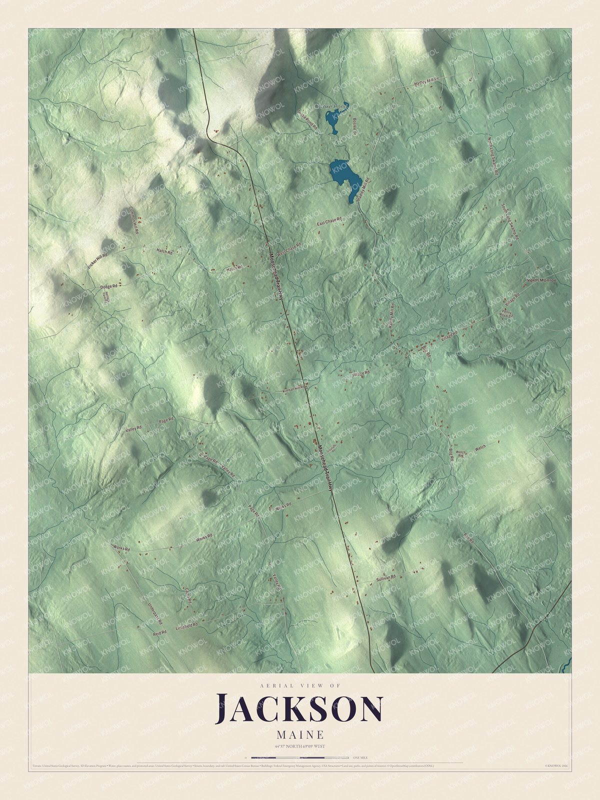
Click to explore a larger preview. The digital watermark does not appear on printed maps.
See it on a wall
The Jackson map as a framed print. Swipe for more.


Explore the Jackson map
Moosehead Trail Highway and Hadley Mill Road are printed on the map. North Long Swamp Road, Underpass Road, South Long Swamp Road and West Chase Road give you more road names to follow.
Drake Pond and North Monroe are printed names as well. Monroe is a separate town bordering Jackson to the east.
This map shows Jackson as it looks today, made for people who call Jackson home. Hang it in your office, library, or den, or use it to teach children the geography and history of the area. Zoom in on the preview above to explore the details, then click here to get your copy of the Jackson, Maine map.

Sources