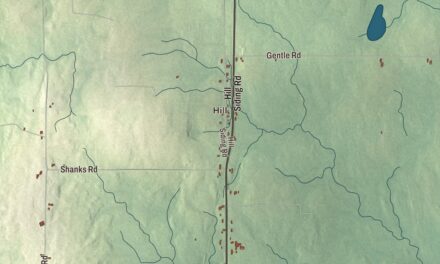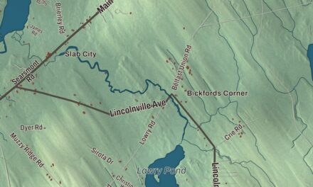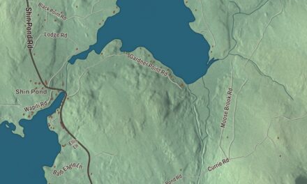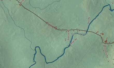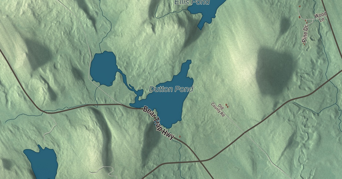
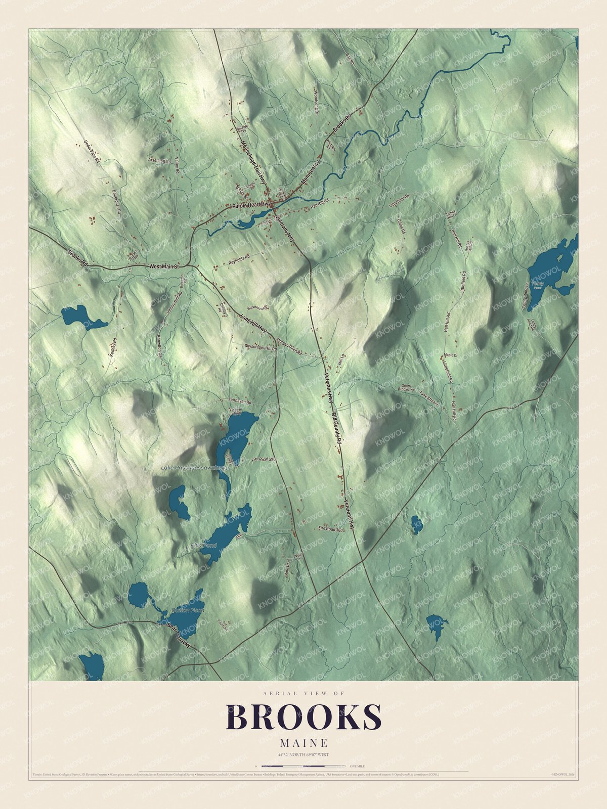
This map of Brooks prints four roads called highways, Monroe Highway, Veterans Highway, Purple Heart Highway and Lang Hill Highway, along with Brooks Road and Old County Road. Lake Passagassawakeag, Ellis Pond and Dutton Pond carry their names too. Click here to purchase a print of this map for your wall.
Brooks is a town in Waldo County, home to 1,010 people at the 2020 census.
KNOWOL made this map in 2026 from public survey data and gave it the look of an old atlas. The shaded hills come from United States Geological Survey elevation data, and the roads and town line come from the Census Bureau, which counts 25.37 square miles in Brooks, 0.70 of them water. Marsh Stream drains the town, and its neighbors are Jackson, Monroe, Swanville, Waldo and Knox.
Named in an election year
Brooks dates to 1816. It was incorporated on December 10 of that year, while Maine was still part of Massachusetts, and it was named for John Brooks, the Federalist candidate for governor of Massachusetts in the election of 1815 and 1816. The town of Dexter, incorporated the same year, was named for the man he ran against, Samuel Dexter. Brooks won. A doctor by training, he had led militia at Lexington and Concord, served under George Washington and fought at Saratoga, and he governed Massachusetts from 1816 to 1823. It was during his years as governor that Maine became a state of its own.
Brooks was also the birthplace of a naturalist. Sarah Elizabeth Pratt was born in Brooks in 1851 to Quaker parents. As Elizabeth Grinnell she became a writer and naturalist in Pasadena, California, a founding member of the Pasadena Audubon Society in 1904, and the author of at least seven books, some of them about birds and written with her son, the zoologist Joseph Grinnell.
The railroad and the depot
The railroad came in 1870 as part of a Belfast project, and the last spike of the line from Belfast inland to Burnham Junction was driven near Brooks on September 24 of that year. Farm products from Brooks rode out on it. The present depot, on the west side of Moosehead Trail, State Route 7, near the south edge of the village, was built by the Maine Central Railroad in 1892 after fire destroyed the first station of 1881. Its page calls it an extremely well-preserved Queen Anne depot, with a deep bracketed roof and walls of diagonal boards, clapboards and cut shingles. It handled passengers until 1960, and a local cheese factory sent its products to market from here. It was listed on the National Register of Historic Places in 2009, and the Pilley House, also on Moosehead Trail, joined it on the Register in 2022.
Click to explore a larger preview. The digital watermark does not appear on printed maps.
See it on a wall
The Brooks map as a framed print. Swipe for more.


Lang Hill Highway and the lake
Lang Hill Highway is printed on the map, and so is Lake Passagassawakeag. The town page says the lake is also called Randall Pond. Lang Hill Highway was once State Route 203, and its page says it was the only state route in Maine maintained entirely as a town road. Coming up from Waldo, it curves around the lake and crosses Marsh Stream before meeting State Route 139 west of the town center. The lake covers 117 acres and is the source of the Passagassawakeag River, which runs 16 miles from here to Belfast Bay.
Ellis Pond and Dutton Pond are printed on the map, and so are Monroe Highway, Veterans Highway, Purple Heart Highway, Brooks Road and Old County Road. Ellis Pond covers 100 acres, according to the town page.
This Brooks map makes a handsome addition to an office, library or den, and it can teach children the geography and history of a Waldo County town. It’s made for anyone who calls Brooks home, from Lang Hill Highway to Ellis Pond, as it looks today. Zoom in on the preview above to explore the details, then click here to get your copy of the Brooks, Maine map.

Sources
- Brooks, Maine, Wikipedia
- John Brooks (Massachusetts politician), Wikipedia
- Elizabeth Grinnell, Wikipedia
- Belfast and Moosehead Lake Railroad (1871 to 2007), Wikipedia
- Former Maine Central Railroad Depot (Brooks, Maine), Wikipedia
- National Register of Historic Places listings in Waldo County, Maine, Wikipedia
- Maine State Route 203, Wikipedia
- Passagassawakeag River, Wikipedia