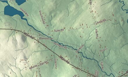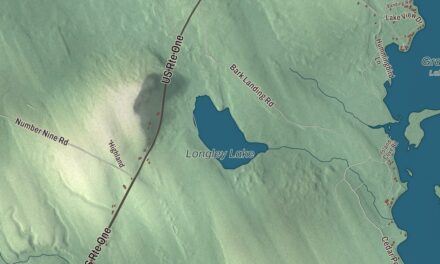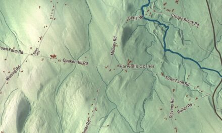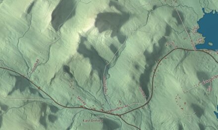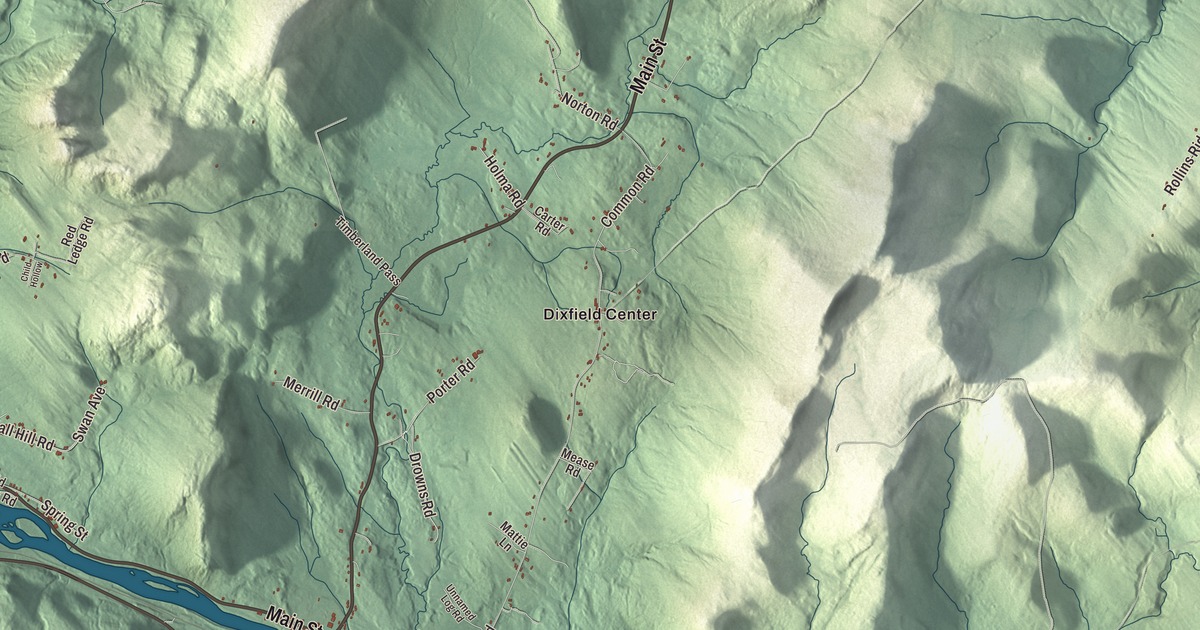
Main Street and Weld Street are home base on this map of Dixfield, Maine, with Dixfield Center and the Webb River close by. Rover Road, Rollins Ron Road, Rollins Ridge Road and Porter Road reach out toward East Dixfield and Peru. Click here to purchase a print of this map for your wall.
Dixfield is a town in Oxford County, with 2,253 people at the 2020 census.
KNOWOL made this map in 2026 from public survey data and gave it the look of an old atlas. The Census Bureau measures the town at 41.69 square miles, 0.42 of them water, and its files give the roads and the town line. United States Geological Survey elevation data shades the hills, and Dixfield has a listed elevation of 715 feet.
Holmantown becomes Dixfield
The Massachusetts General Court granted this township in 1789 to Colonel Jonathan Holman of Sutton, Massachusetts, a Revolutionary War veteran, and 25 others. The first families to stay came in 1795: John Marble, Gardner Brown, Amos Trask, Levi Newton, David Torrey and John Gould. The settlement was Holmantown Plantation until June 21, 1803, when part of it was incorporated as Dixfield, the 147th town in Maine. The rest of the plantation became Mexico in 1818.
The new name came with a deal. Dr. Elijah Dix of Boston, who owned a good deal of land here, promised the town a library if it would take his name. The people agreed, and what arrived was boxes of dusty old medical books, all of them in German. Dix’s name is on Dixmont too, the Penobscot County town where he died on a visit in 1809. Dixfield’s motto is “The Only One,” since no other town in the world goes by its name.
Streams gave Dixfield water power, and it became a small mill town, with sawmills and gristmills. Over the years it also made cheese, carriages, shingles, toothpicks, rakes, wooden boxes, flies and leaders, and boots and shoes, and for a time it had a marble works.
Rivers, schools and people
The Webb River starts at Webb Lake in Weld and runs 16.8 miles south, and its last 6 miles form the line between Dixfield and Mexico before it joins the Androscoggin River just west of Dixfield village. Route 142 follows it the whole way. U.S. Route 2 crosses the town.
Dirigo High School, in Dixfield, opened in 1948 as Dixfield High School and now serves Dixfield, Canton, Carthage and Peru. Its teams have a strong record: the girls’ basketball team won 6 state championships between 1996 and 2005, the football team went 12 and 0 to win the Class C state title in 2009, and the boys won state basketball titles in 2012, 2022 and 2023. Sebastian Streeter Marble, born in Dixfield in 1817, became president of the Maine Senate and then the 41st governor of Maine, from 1887 to 1889. Mace Greenleaf, born here in 1872, acted on Broadway and appeared in at least 18 silent films in the last year of his life.
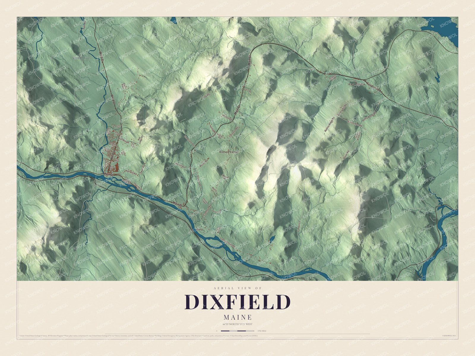
Click to explore a larger preview. The digital watermark does not appear on printed maps.
See it on a wall
The Dixfield map as a framed print. Swipe for more.


Around town
The Webb River is labeled on the map. Main Street and Weld Street are printed, and so are Rover Road, Rollins Ron Road, Rollins Ridge Road and Porter Road. Dixfield Center and East Dixfield are printed too. East Dixfield is a village that sits partly in Dixfield and partly in Wilton, in Franklin County, along U.S. Route 2 and Route 17. Peru is printed as well. It’s the town that shares Regional School Unit 56 with Dixfield, Canton and Carthage. The side roads around them are drawn in as well.
This Dixfield map makes a fine addition to an office, library or den, and it can help teach children the geography and history of the area. It’s made for everyone who calls Dixfield home, from Weld Street to East Dixfield, as it looks today. Zoom in on the preview above to explore the details, then click here to get your copy of the Dixfield, Maine map.

Sources