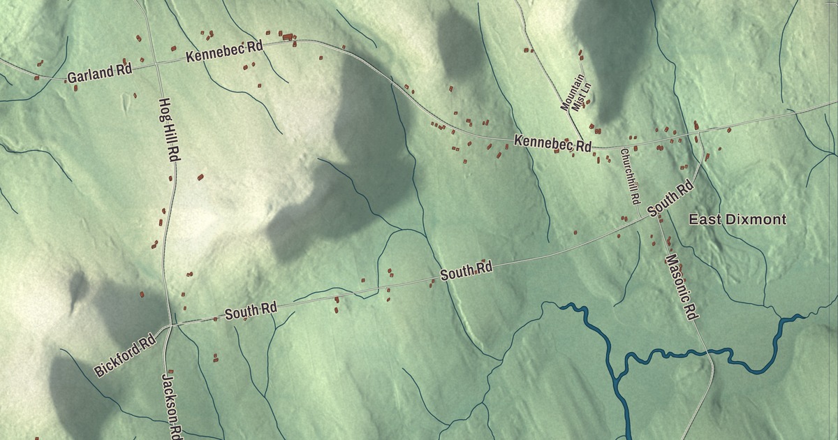
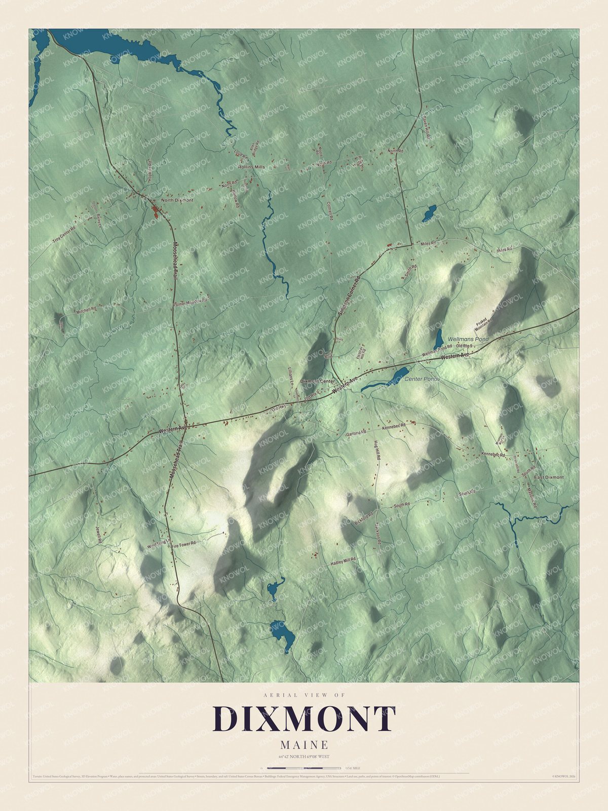
Western Avenue, the main east-west road through Dixmont, Maine, is the line to find first on this map, with East Dixmont and Dixmont Center. Moosehead Trail, Simpson Corner Road, Wellman Pond Road, Hadley Mill Road and Jackson Road fill in the rest, along with North Dixmont and Rollins Mills. Click here to purchase a print of this map for your wall.
Dixmont is a town in Penobscot County, with 1,211 people at the 2020 census.
KNOWOL made this map in 2026 from public survey data and gave it the look of an old atlas. The Census Bureau measures the town at 36.43 square miles, only 0.14 of them water, and its files give the roads and the town line. United States Geological Survey elevation data shades the hills, and Dixmont has a listed elevation of 564 feet.
From Collegetown to Dixmont
Massachusetts granted this township to Bowdoin College, and the college sold the first settlers their land, so the place was first called Collegetown. The first settlement came in 1799. One of the biggest buyers was Dr. Elijah Dix of Boston, who never lived here but took an interest in settling it, and when the town was incorporated in 1807 it took his name. In 1808 Dix gave money for five district schools. The town grew from 59 people to 337 between 1800 and 1810, a rate its page says was never repeated. Dix died in Dixmont on a visit in 1809 and is buried in the Dixmont Corner Cemetery. He was the grandfather of the reformer Dorothea Dix, born in nearby Hampden, and her father was probably the family’s land agent here.
Dixmont sat on the main stagecoach road between Bangor and Augusta, at the highest point along it, and it became a natural stop to rest the horses. William Lloyd Garrison, writing in 1832, called the Dixmont Hills “formidable” along that route. The highest are Peaked Mountain and Mount Harris, 1,230 feet above sea level, where the United States Coast Survey put up an observatory in 1854.
Sheep, cheese and a governor
By the 1850s Dixmont had more than 1,600 people, over 400 more than today, with three sawmills, a shingle mill, two flour and grist mills and many good farms. In the 1870s two small companies made cheese here, and in 1880 the town had two hotels and one doctor. Sheep farming was popular, probably because of the hilly land, and in 1880 Dixmont had more sheep than any other town in Penobscot County. Jonathan G. Hunton, the ninth governor of Maine, who pushed for the state’s first mental hospital, spent the later part of his life in Dixmont, and the town’s page lists Abner Weed, founder of Weed, California, among its people.
Click to explore a larger preview. The digital watermark does not appear on printed maps.
See it on a wall
The Dixmont map as a framed print. Swipe for more.


Three buildings on the National Register
In the village center on U.S. Route 202, the Dixmont Corner Church was built in 1834 and 1835 by local master builder Rowland Tyler. Its page counts it among the oldest churches in rural Penobscot County and one of the county’s earliest in the Carpenter Gothic style, with pointed arches over its doors and windows and a square belfry with pinnacles. Just west of it stands the Louis I. Bussey School of about 1808, the only one of Dix’s five district schools left standing.
The Dixmont Town House is at 702 Western Avenue, near the middle of town. It’s dated to 1836, when the land was deeded to the town, and the town held its meetings there until 1952. Its page calls it one of the oldest surviving town houses in Maine built only for civic use, with just the Turner Town House of 1831 known to be older. The local historical society restored it between 2008 and 2013.
Villages and roads
Western Avenue is printed on the map, along with Moosehead Trail, Simpson Corner Road, Wellman Pond Road, Hadley Mill Road and Jackson Road. East Dixmont, North Dixmont, Dixmont Center and Rollins Mills are printed too, and Center Pond and Wellmans Pond are labeled on the map. The back roads between the villages are drawn in as well.
This Dixmont map makes a fine addition to an office, library or den, and it can help teach children the geography and history of the area. It’s made for everyone who calls Dixmont home, from Western Avenue to Rollins Mills, as it looks today. Zoom in on the preview above to explore the details, then click here to get your copy of the Dixmont, Maine map.

Sources