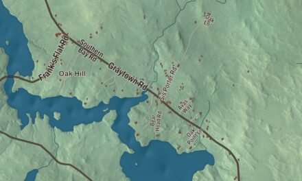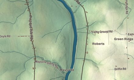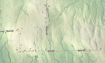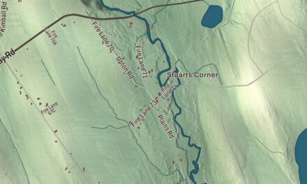
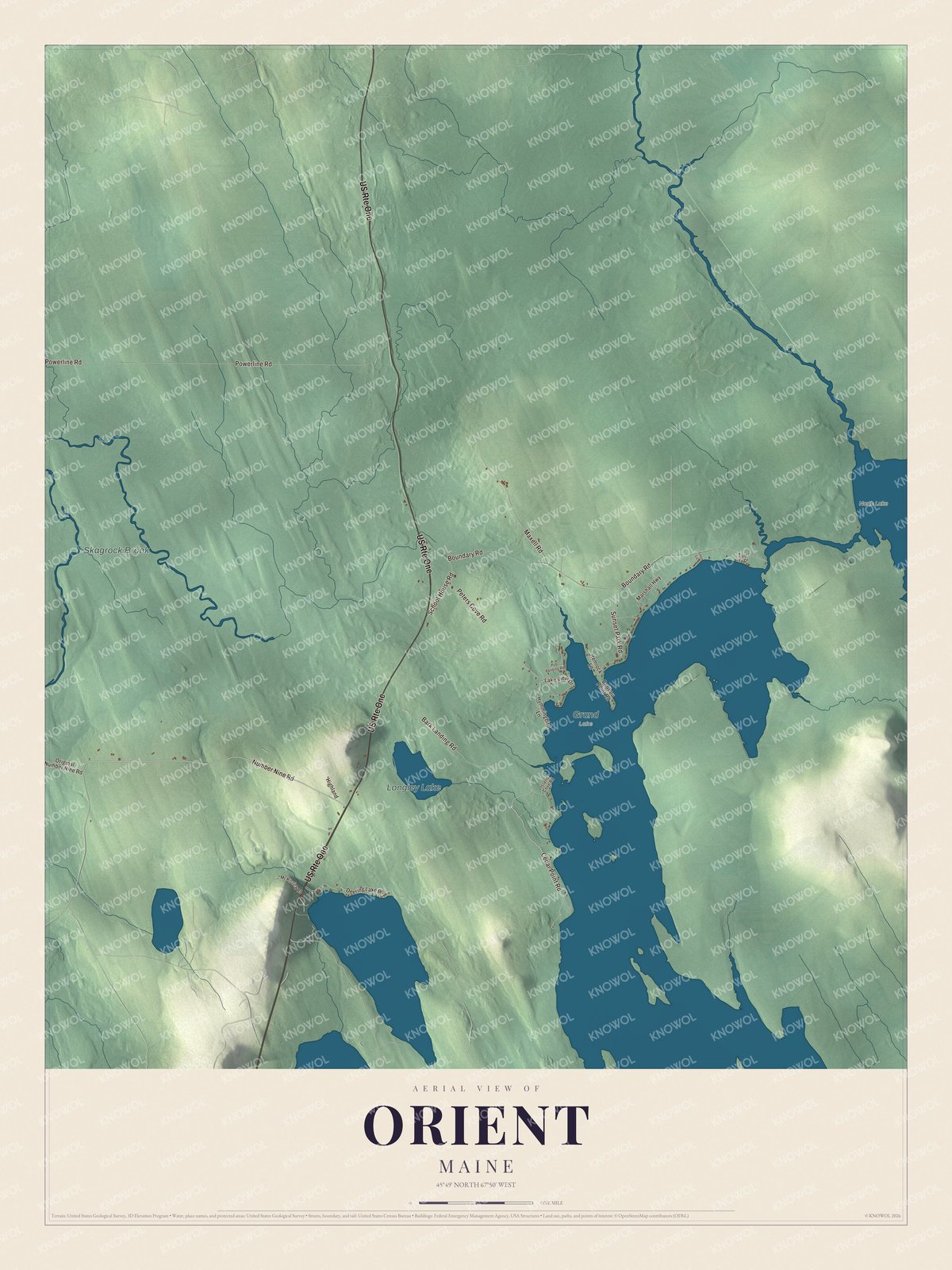
Boundary Road, home of the 1937 border station, crosses this map of Orient, the Aroostook County town that faces New Brunswick across North Lake. Click here to purchase a print of this map for your wall.
Orient is a town in Aroostook County.
KNOWOL made this map in 2026 from public survey records, United States Geological Survey elevation data and Census Bureau files. Its atlas layout brings together Orient’s roads, buildings, ponds and waterways, and terrain, the town boundary and the pattern of buildings.
A border town
Orient was incorporated on April 9, 1856. An 1886 gazetteer described it at the head of Schoodic or Grand Lake, on the southeastern edge of Aroostook County, with Monument Stream and North Lake separating it from New Brunswick and Scaggrock Stream, a branch of the Mattawamkeag, in the western part of town. The surface was rocky and uneven, but the soil was strong, and families raised wheat, oats, buckwheat, potatoes and hay and kept a good deal of livestock. Peter’s Hill, the highest point, was a long plateau running south from the middle of the northern line.
The town sent eleven men into the Union army in the Civil War. It had 219 people in 1870, 166 in 1880 and 156 in 2020, and it covers 37.67 square miles, 2.15 of them water. Amity lies to the north, Weston to the south and Haynesville to the west, and the St. Croix River and the parish of North Lake, New Brunswick, lie to the east.
The crossing at Boundary Road
The Orient and Fosterville border crossing joins the town to Fosterville, New Brunswick. The U.S. border station on the north side of Boundary Road was built in 1937, when the government was adding stations close to the line as automobile traffic grew. It’s a small brick-faced Colonial Revival building with a one-lane porte-cochere, customs on one side and immigration on the other. It’s the least-altered of Maine’s surviving early border stations and the only one of its plan still in use in the state, and it was listed on the National Register of Historic Places in 2014. The first bridge between Orient and Fosterville was said to be the shortest international bridge between the United States and Canada.
Click to explore a larger preview. The digital watermark does not appear on printed maps.
See it on a wall
The Orient map as a framed print. Swipe for more.


Explore the Orient map
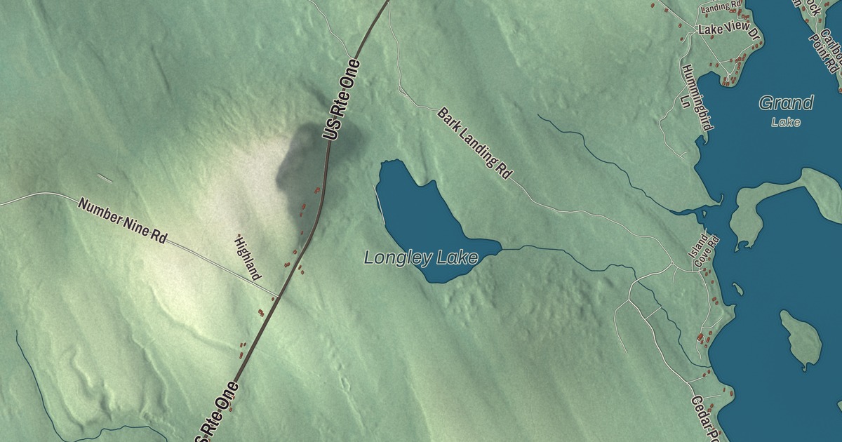
Start with Number Nine Road, then follow Cedar Point Road, Powerline Road, Boundary Road, Bark Landing Road and Peters Cove Road across town. Those names are printed on the artwork, and Longley Lake, Skagrock Brook and North Lake are labeled too. Follow the shoreline of North Lake along the border, and compare the scattered homes with the forest around them.
For people who call Orient home, this map shows the town as it looks today. Put it in your office, library, or den, or use it to teach children the geography and history of the area. Zoom in on the preview above to explore the details, then click here to get your copy of the Orient, Maine map.

Sources