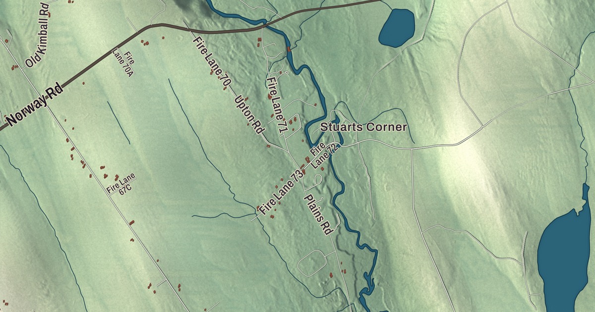
Stuarts Corner and Bolsters Mills give you two familiar places to begin on the Harrison map. Long Lake, Crystal Lake and Scribners Mill are named too, with roads and buildings around them. Click here to purchase a print of this map for your wall.
Harrison is an inland town in Cumberland County.
KNOWOL made this map in 2026 from public survey records, with modern geography and the look of a vintage atlas. United States Geological Survey elevation data gives the terrain its shading. Census Bureau files supply the roads and municipal boundary, with buildings and water features brought together in the aerial view.
Lakes, mills and transport
Harrison separated from parts of Otisfield and Bridgton in 1805. It was named for landowner Harrison Gray Otis. The outlet from Crystal Lake into Long Lake supplied water power for mills, and other local businesses included wiremaking, carriage making and shoe production.
The Cumberland and Oxford Canal opened in 1832, connecting Portland with Sebago Lake and the waterways leading to Long Lake. Harrison became a place for trade and transportation, with wharves and warehouses on the shore. Narrow-gauge rail service reached Harrison in 1898. The town had 2,447 residents at the 2020 census.
A mill and a theatre
Scribner’s Mill was built on the Crooked River in 1847. It gives a specific historical connection to the printed name Scribners Mill.
Enrica Clay Dillon founded Deertrees Theatre in 1936. Its Adirondack-style building was made from hemlock harvested on the property, with an arch formed from whole tree trunks. The theatre has been restored and reopened after periods of closure, continuing the town’s performing-arts history.
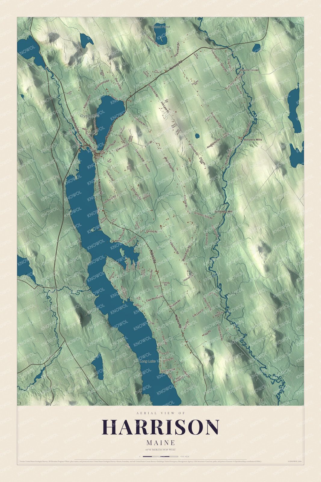
Click to explore a larger preview. The digital watermark does not appear on printed maps.
See it on a wall
The Harrison map as a framed print. Swipe for more.


A closer look at Harrison
Look for Stuarts Corner, Bolsters Mills and Scribners Mill. Norway Road, Waterford Road, Main Street, Naples Road, Bolsters Mills Road and Dawes Hill Road are printed by name.
Long Lake, Crystal Lake and Island Pond have their own printed names. Crystal Lake drains into Long Lake through the village. These inland lakes, the roads and the building patterns fill in the town’s present geography.
For people who call Harrison home, the map brings familiar places together as it looks today. It can hang in an office, library or den, or help teach children the geography and history of the area. Zoom in on the preview above to explore the details, then click here to get your copy of the Harrison, Maine map.

Sources