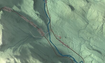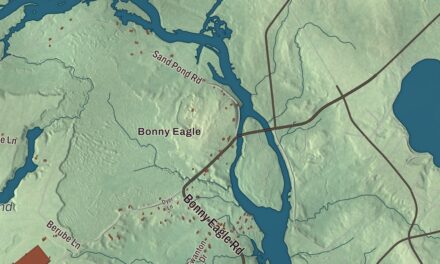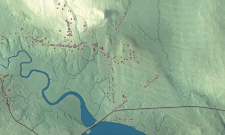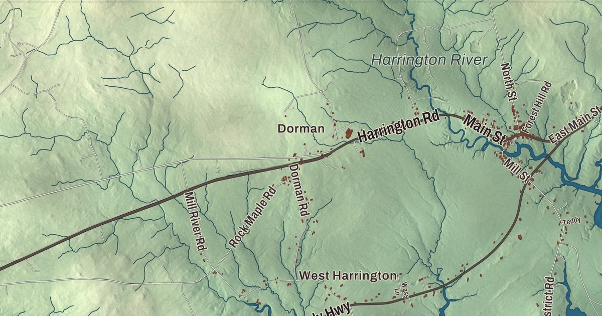
Dorman and Marshville give you places to begin on the Harrington map. Harrington River, Flat Bay and the Atlantic Ocean bring the coast into the same aerial view. Click here to purchase a print of this map for your wall.
Harrington is a town in Washington County, on the Gulf of Maine.
KNOWOL made this map in 2026 from public survey records, with modern geography and the look of a vintage atlas. United States Geological Survey elevation data gives the terrain its shading. Census Bureau files supply the roads and municipal boundary, with buildings and water features brought together in the aerial view.
From Plantation Number 5
Harrington began as Plantation Number 5, one of six townships east of the Union River granted in 1762. Settlement followed around 1765. The municipality incorporated in 1797, and its eastern portion became the town of Milbridge in 1848.
Farmers grew wheat and potatoes, while the lumber trade supported sawmills, shingle mills and lath mills. The nineteenth-century businesses also included brickyards, a tannery and shipbuilders. Sailmaking and boot and shoe manufacturing appear in the town’s later industrial history. Harrington had 962 residents at the 2020 census.
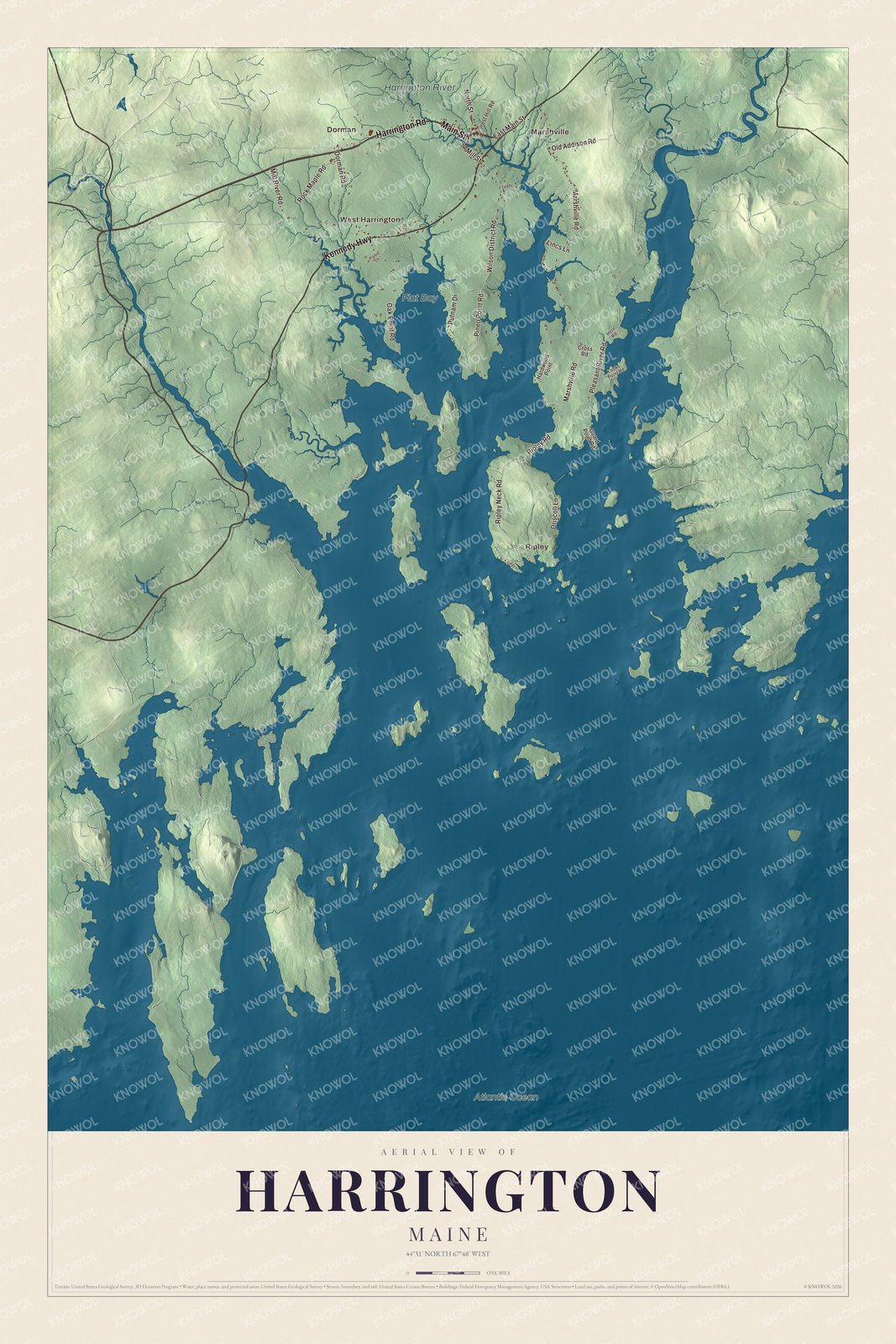
Click to explore a larger preview. The digital watermark does not appear on printed maps.
See it on a wall
The Harrington map as a framed print. Swipe for more.


A closer look at Harrington
Find Dorman, Marshville, West Harrington and Ripley. Harrington Road, Main Street, Kennedy Highway, Marshville Road, Oak Point Road and Ripley Road are printed by name.
Atlantic Ocean, Flat Bay and Harrington River have printed names too. The town lies at the head of Narraguagus Bay, beside Harrington Bay and Pleasant Bay. The river, coastal water, roads and terrain give you different parts of Harrington to explore in one view.
For people who call Harrington home, the map brings familiar places together as it looks today. It can hang in an office, library or den, or help teach children the geography and history of the area. Zoom in on the preview above to explore the details, then click here to get your copy of the Harrington, Maine map.

Sources