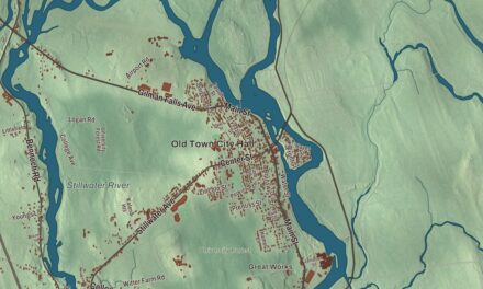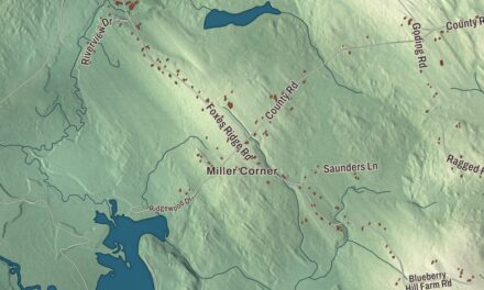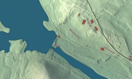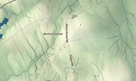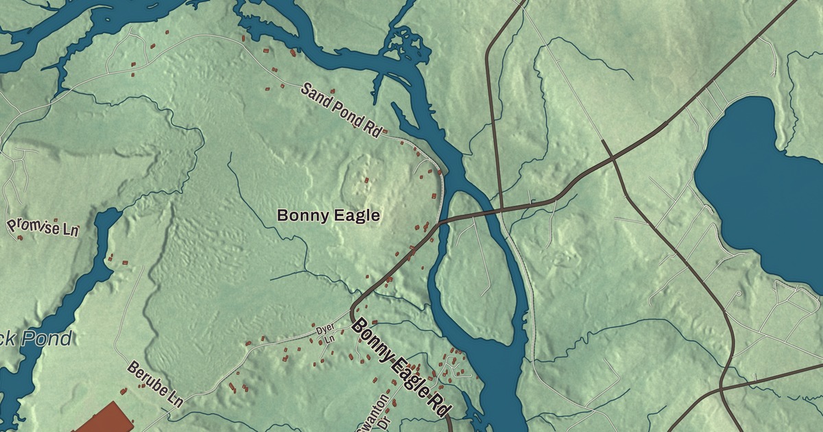
Bonny Eagle and Clarks Mills give you familiar places to find on the Hollis map. Salmon Falls and Hollis Center bring more of the town’s names into the aerial view. Click here to purchase a print of this map for your wall.
Hollis is a town in York County.
KNOWOL made this map in 2026 from public survey records, combining modern geography with the look of a vintage atlas. United States Geological Survey elevation data shades the terrain. Census Bureau files supply the roads and municipal boundary, with buildings and waterways brought together in an aerial view.
Little Falls and Phillipsburg
The community began as Little Falls Plantation, an area that also included what became Dayton and part of Limington. It incorporated as Phillipsburg in 1798, honoring William Phillips. A committee considered a new name in 1810, and Hollis was chosen; the town history does not settle the reason for that name.
Farmers grew corn, potatoes and hay. Water-powered mills along the Saco River produced lumber, spools, wooden boxes and woolen goods. The Portland and Rochester Railroad crossed the southern part of the town. Hollis had 4,745 residents at the 2020 census.
Kate Douglas Wiggin and children’s books
Kate Douglas Wiggin spent part of her childhood in Hollis and later used Quillcote as a summer home here. Her work included teaching, children’s stories and music. In San Francisco she helped establish free kindergarten education and training for kindergarten teachers.
Wiggin wrote Rebecca of Sunnybrook Farm in 1903. In Hollis she founded the Salmon Falls Library in 1911, and Quillcote is listed on the National Register of Historic Places. The local home and library connect her work for children with a specific place in the town.
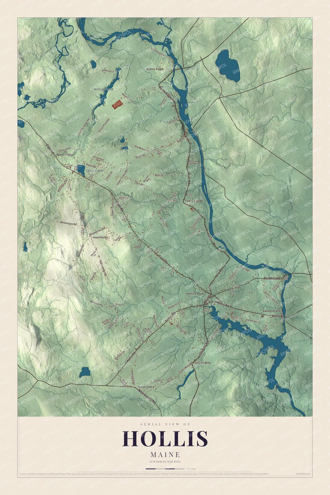
Click to explore a larger preview. The digital watermark does not appear on printed maps.
See it on a wall
The Hollis map as a framed print. Swipe for more.


Exploring Hollis
Find Bonny Eagle, Clarks Mills, Hollis Center, North Hollis, Salmon Falls, South Hollis and Tylers Corner. Bonny Eagle Road, New Road, Main Street, River Road, Little Falls Road and Cape Road are printed by name.
Killick Pond and Deer Pond each have printed names. The town is drained by Cook’s Brook and the Saco River. Roads, water, buildings and terrain fill in the view inside the present town boundary.
For people who call Hollis home, this map brings familiar roads and places together as it looks today. It can hang in an office, library or den, or help teach children the geography and history of the area. Zoom in on the preview above to explore the details, then click here to get your copy of the Hollis, Maine map.

Sources