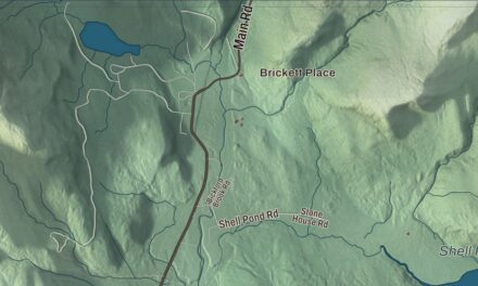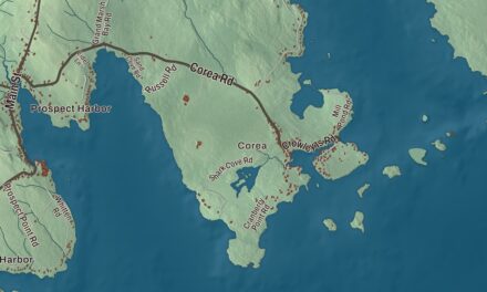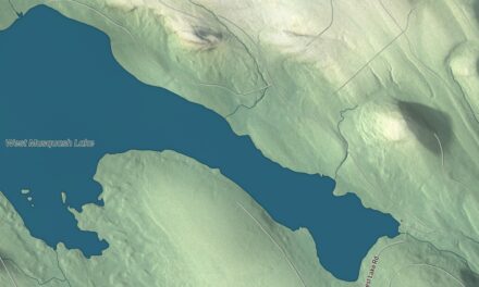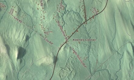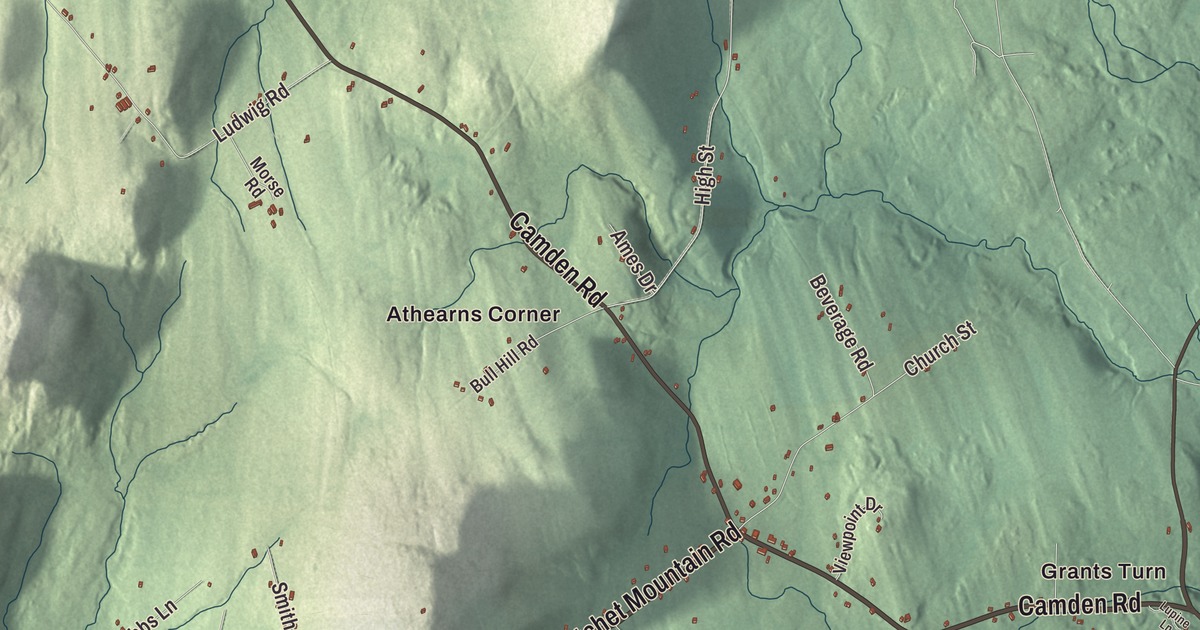
Athearns Corner and Grants Turn are two names to find on this Hope map. Alford Lake, Hobbs Pond and Lermond Pond bring more familiar places into view. Click here to purchase a print of this map for your wall.
Hope is a town in Knox County.
KNOWOL made this map in 2026 from public survey records, combining modern geography with the look of a vintage atlas. United States Geological Survey elevation data shades the terrain. Census Bureau files supply the roads and municipal boundary, with buildings and waterways brought together in an aerial view.
From Barretstown Plantation
The area was organized as Barretstown Plantation, named for landowner Charles Barrett. Hope incorporated in 1804 after earlier petitions for town status. A portion of its western territory went to Appleton in 1843.
Hope Village and South Hope developed manufacturing businesses in the nineteenth century. Their products included boots and shoes, cider vinegar, wooden staves, furniture, carriages and farm machinery. Water-powered mills supported local production. The town had 1,698 residents at the 2020 census.
A school recognition
Hope Elementary School received National Blue Ribbon School recognition in 2012, according to the town profile. The school is part of Hope’s educational life within a community of villages, roads and ponds.
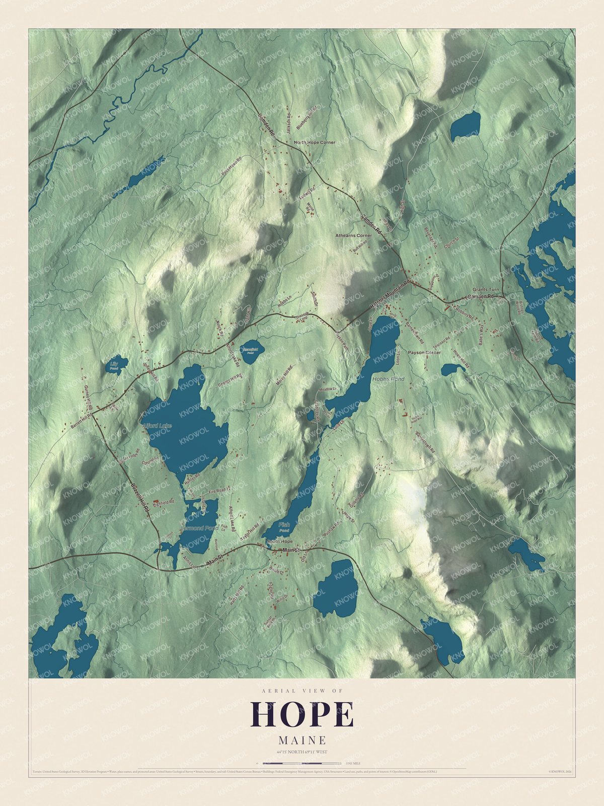
Click to explore a larger preview. The digital watermark does not appear on printed maps.
See it on a wall
The Hope map as a framed print. Swipe for more.


Exploring Hope
Find Athearns Corner, Grants Turn, North Hope Corner, Payson Corner and South Hope. Main Street, Buzzell Hill Road, Hatchet Mountain Road, Camden Road, Crabtree Road and Hope Street are printed by name.
Alford Lake, Hobbs Pond and Lermond Pond have their own printed names. They are among the town’s principal bodies of water in its geographical profile. The map combines those water features with roads, terrain and building patterns inside Hope’s boundary.
For people who call Hope home, this map brings familiar roads and places together as it looks today. It can hang in an office, library or den, or help teach children the geography and history of the area. Zoom in on the preview above to explore the details, then click here to get your copy of the Hope, Maine map.

Sources