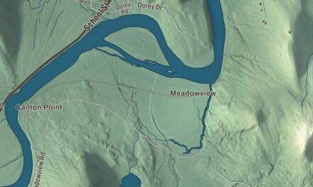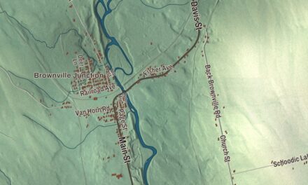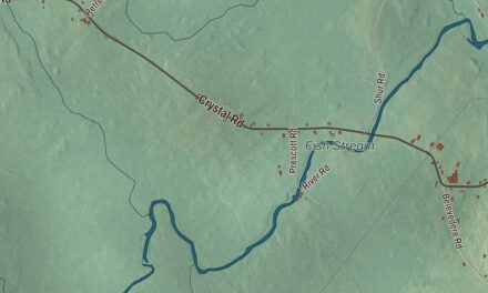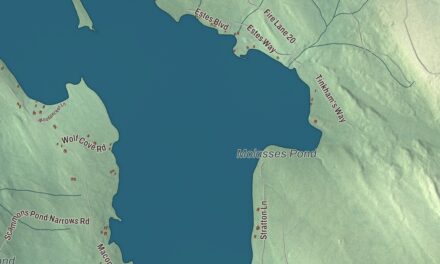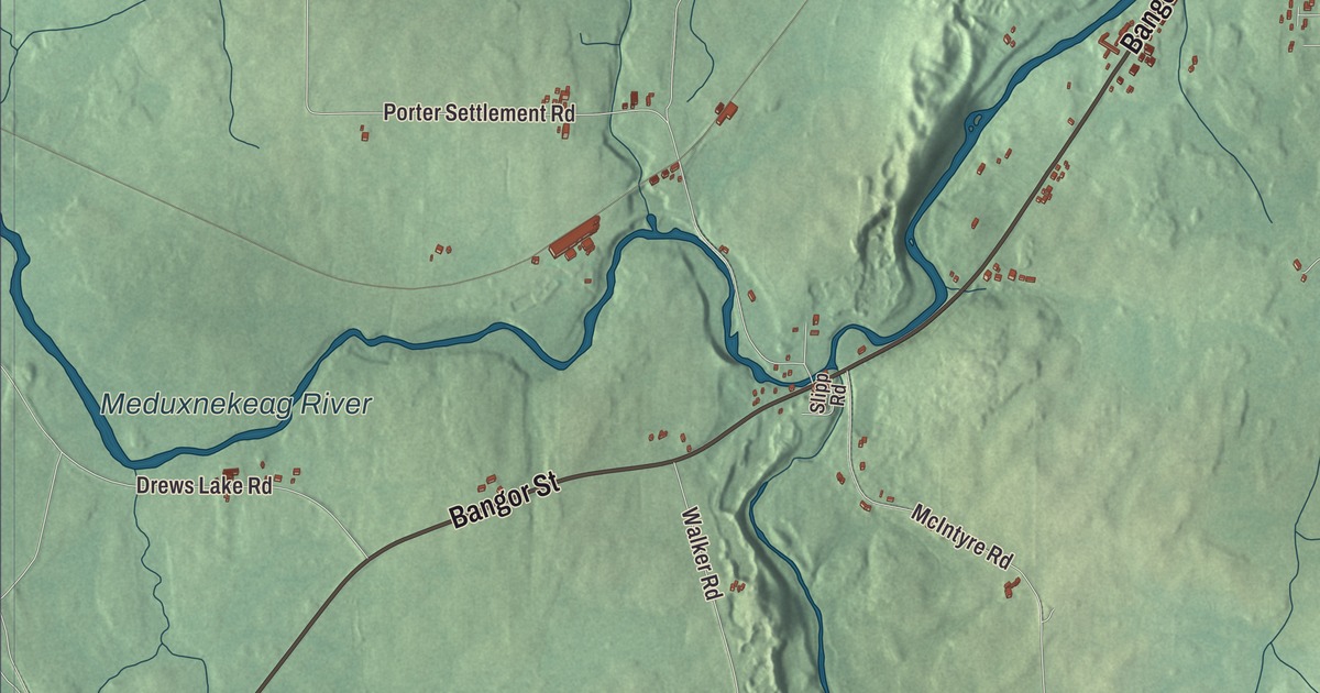
Military Street and Meduxnekeag River give you familiar places to begin on the Houlton map. North Street and Court Street are named too, within the border town’s aerial view. Click here to purchase a print of this map for your wall.
Houlton is a town and the county seat of Aroostook County.
KNOWOL made this map in 2026 from public survey records, combining modern geography with the look of a vintage atlas. United States Geological Survey elevation data shades the terrain. Census Bureau files supply the roads and municipal boundary, with buildings and waterways brought together in an aerial view.
A town named for Joseph Houlton
The land was granted to the Academy of New Salem in Massachusetts, then purchased by a group of men from that town. Aaron Putnam and Joseph Houlton developed a village, with Houlton arriving in Maine in 1807. The municipality incorporated in 1831 and had 6,055 residents at the 2020 census.
The area has a much longer Indigenous history, including the Wolastoqiyik people. The federally recognized Houlton Band of Maliseet Indians has its headquarters here. The town stands on the Canadian border, with the Meduxnekeag running through its center.
A child who wrote for peace
Samantha Smith was born in Houlton in 1972. Her family moved to Manchester after her early school years. In 1982, she wrote to Soviet leader Yuri Andropov to ask about peace between the United States and Soviet Union.
Andropov replied with an invitation, and Smith traveled with her parents to the Soviet Union in 1983. She met children there and later took part in a children’s symposium in Japan. Her book Journey to the Soviet Union recorded the visit; the international work came after her Houlton childhood.
A transatlantic telephone connection
Houlton held the receiving station for the New York-to-London commercial telephone service inaugurated in 1927. Signals arrived from the Rugby transmitter in England. The British development later named Houlton commemorates that connection with the Maine town.
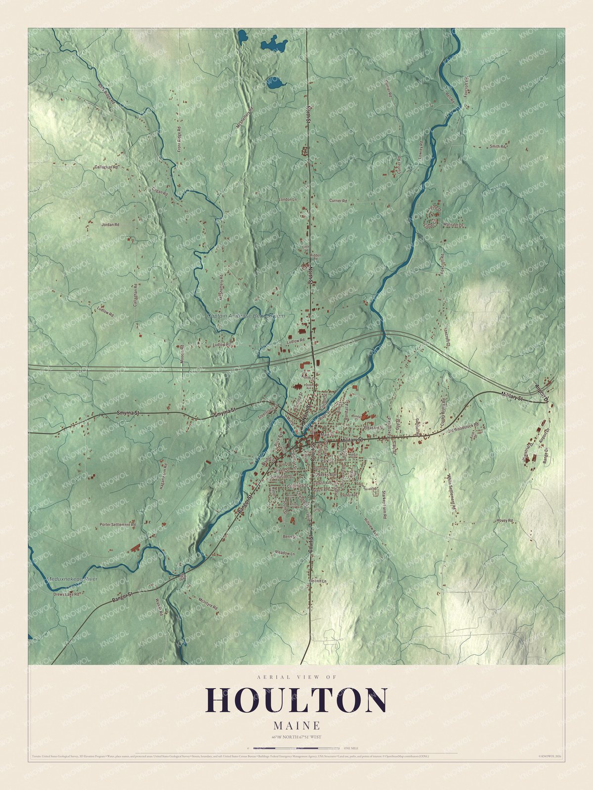
Click to explore a larger preview. The digital watermark does not appear on printed maps.
See it on a wall
The Houlton map as a framed print. Swipe for more.


Exploring Houlton
Military Street, North Street, Court Street, Bangor Street, Smyrna Street and Airport Drive are printed by name. Meduxnekeag River and Captain Ambrose Bear Stream carry printed names as well. The smaller roads, buildings and terrain fill in the town’s present outline.
For people who call Houlton home, this map brings familiar roads and places together as it looks today. It can hang in an office, library or den, or help teach children the geography and history of the area. Zoom in on the preview above to explore the details, then click here to get your copy of the Houlton, Maine map.

Sources