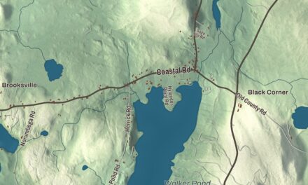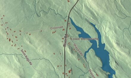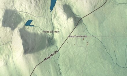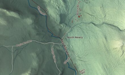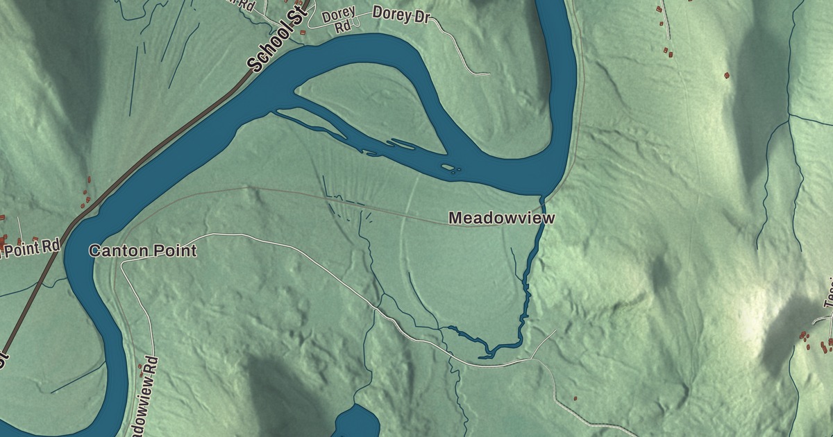
Canton Point, Gilbertville and Meadowview are printed on this map of Canton, Maine. Main Street, School Street, Pleasant Street, Turner Street, Meadowview Road and Laplant Road carry their names too, and so does Forest Pond. Click here to purchase a print of this map for your wall.
Canton is a town in Oxford County, with 1,125 people at the 2020 census.
KNOWOL made this map in 2026 from public survey data and gave it the look of an old atlas. The hills are shaded from United States Geological Survey elevation data, and the roads and town line come from the Census Bureau. The bureau counts 30.50 square miles in Canton, 1.38 of them water. The town lies beside Lake Anasagunticook, and Whitney Brook and the Androscoggin River drain it.
Rockemeka
Long before the town, Canton Point was Rockemeka, a village of the Anasagunticook, or Androscoggin, Abenaki. The tribe is said to have cleared 500 acres there to grow corn, and in 1698 French Jesuits set up a mission they called Naurakamig.
Massachusetts later granted the land to Captain Joseph Phipps and 63 other soldiers for their service in the French and Indian War, and it was known as Phipps-Canada. Settlement began in the early 1790s, when William Livermore, William French, Joseph Coolidge and Alexander Shepherd arrived, and others followed, most of them from Massachusetts. The grant was incorporated in 1795 as Jay, for John Jay, the first chief justice of the United States. Canton dates to 1821, when it was set off from Jay on February 5 and named for Canton, Massachusetts.
Hayford Mills
The outlet of Lake Anasagunticook gave the town its water power. Gustavus Hayford settled in Canton in 1814 and built a log cabin, a sawmill and a gristmill, and the village was called Hayford Mills, then Canton Mills, then simply Canton. In the 1800s it had a machine shop making farm tools, a tinware factory and an iron foundry, and the village is still the town’s business center. The railroad came through in the second half of the century, carrying freight and tourists, and Canton grew into a resort area for camping. For years Canton was also the junction where the line up to the Rangeley Lakes branched off.
John P. Swasey was born in Canton in 1839 and went to its public schools. He served as a first lieutenant in the Seventeenth Maine during the Civil War, practiced law in Canton from 1863 and served as county attorney and state legislator, and from 1908 to 1911 he represented Maine in Congress.
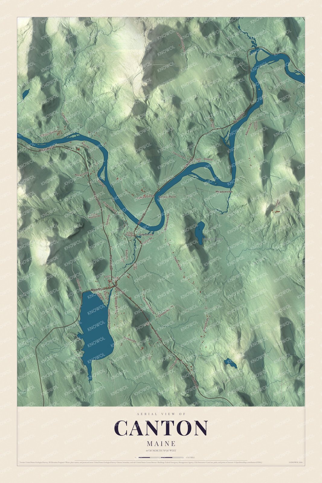
Click to explore a larger preview. The digital watermark does not appear on printed maps.
See it on a wall
The Canton map as a framed print. Swipe for more.


Canton Point and Gilbertville
Canton Point is printed on the map. The land there is smooth and level, unlike the uneven ground on the town’s outskirts, and its soil was once considered the best for farming in the state. Gilbertville is printed too. It grew up between 1879 and 1882 around a sawmill and a pulp mill that the town gave ten-year tax breaks, and it was named for the Gilbert brothers, lumbermen from New Hampshire. By 1882 it had more than 500 people, a school, a post office and several boarding houses.
Main Street, School Street, Pleasant Street and Turner Street are printed on the map, and so are Meadowview Road, Laplant Road and Meadowview. Forest Pond is printed as well.
This Canton map makes a handsome addition to an office, library or den, and it can teach children the geography and history of a mill village by the lake. It’s made for anyone who calls Canton home, from Canton Point to Gilbertville, as it looks today. Zoom in on the preview above to explore the details, then click here to get your copy of the Canton, Maine map.

Sources