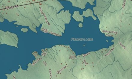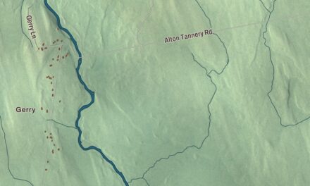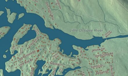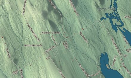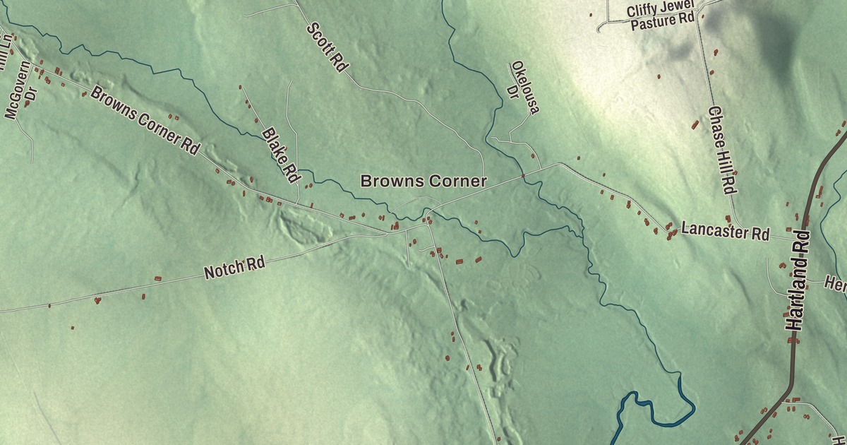
Lake George and Sibley Pond are printed on this map of Canaan, and so are Browns Corner and Main Street. Hartland Road, Hinckley Road, Strickland Road, Bush Road and Cliffy Jewell Pasture Road carry their names too. Click here to purchase a print of this map for your wall.
Canaan is a town in Somerset County, with 2,193 people at the 2020 census.
KNOWOL made this map in 2026 from public survey data and gave it the look of an old atlas. The relief is shaded from United States Geological Survey elevation data, and the roads and town line come from the Census Bureau, which counts 42.13 square miles in Canaan, 0.97 of them water.
From Canaan to South Dakota
Canaan was incorporated as a town in 1788. Dighton Corson was born in Canaan in 1827, studied law and joined the bar in 1853, and lived in Milwaukee and in Virginia City, Nevada, before settling in South Dakota. He became one of the first justices of the South Dakota Supreme Court, and Corson County, South Dakota, is named for him.
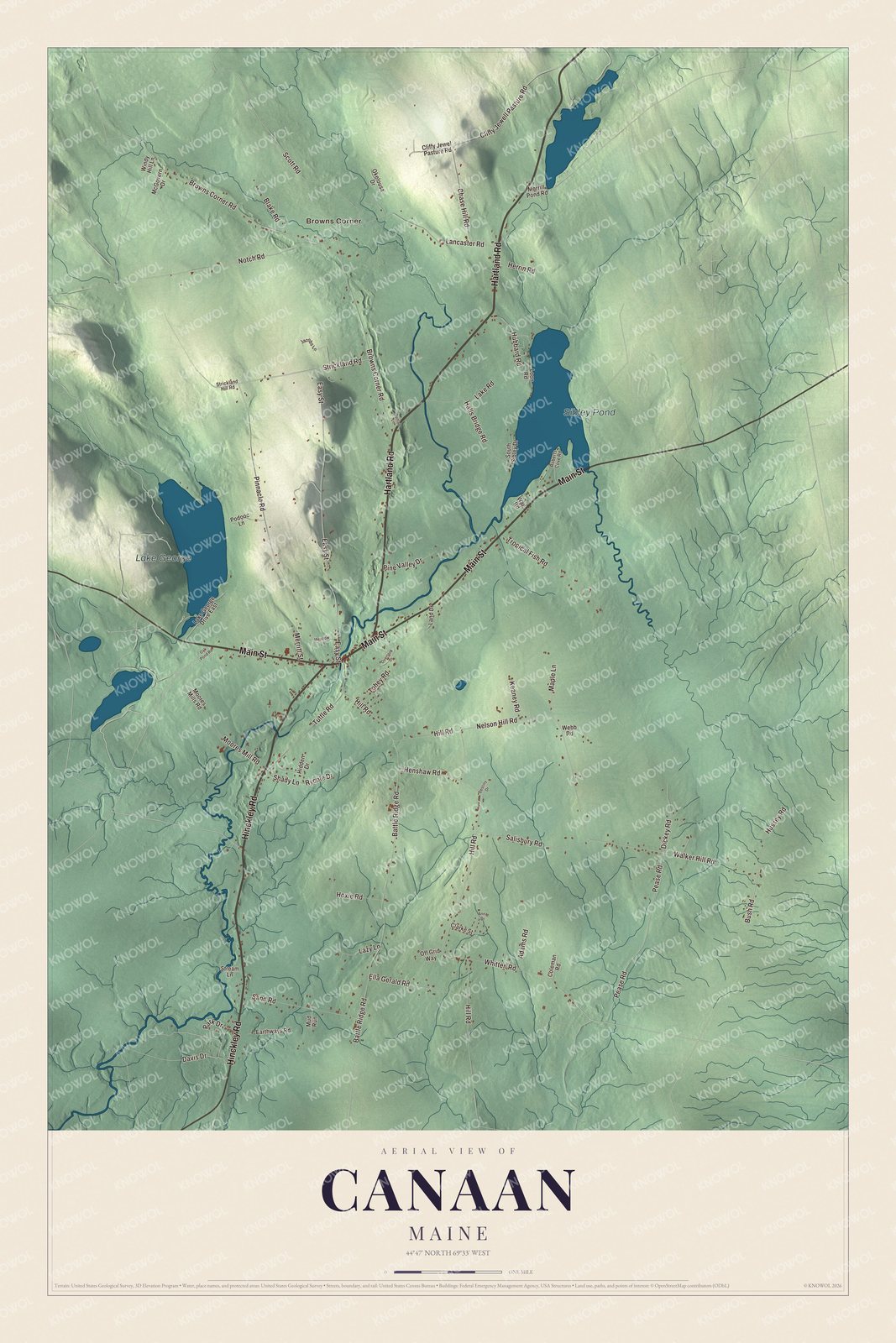
Click to explore a larger preview. The digital watermark does not appear on printed maps.
See it on a wall
The Canaan map as a framed print. Swipe for more.


Lake George and Camp Modin
Lake George is printed on the map. Camp Modin, an early Jewish summer camp, began on its shore: in 1922 three couples who had studied under the educator Samson Benderly opened Camp Modin on the site of an abandoned hotel on Lake George in Canaan, with 45 boys in the first class. A girls’ camp opened across the lake in 1925. The camp taught Hebrew, religion and culture along with recreation, women played a large part in running it, and Libbie Berkson directed it until 1958. It has been described as the prototype for camps sponsored by every branch of the Jewish community. The camp moved to Salmon Lake in the Belgrade Lakes in 1992, and its first site is now part of Lake George Regional Park.
Sibley Pond is printed on the map too, and so are Browns Corner and Main Street. Hartland Road, Hinckley Road, Strickland Road, Bush Road and Cliffy Jewell Pasture Road are printed as well.
This Canaan map makes a handsome addition to an office, library or den, and it can teach children the geography and history of a Somerset County lake town. It’s made for anyone who calls Canaan home, from Browns Corner to Sibley Pond, as it looks today. Zoom in on the preview above to explore the details, then click here to get your copy of the Canaan, Maine map.

Sources