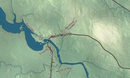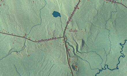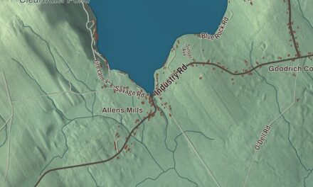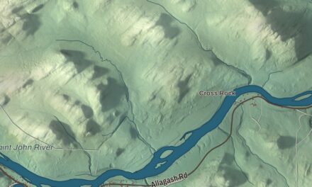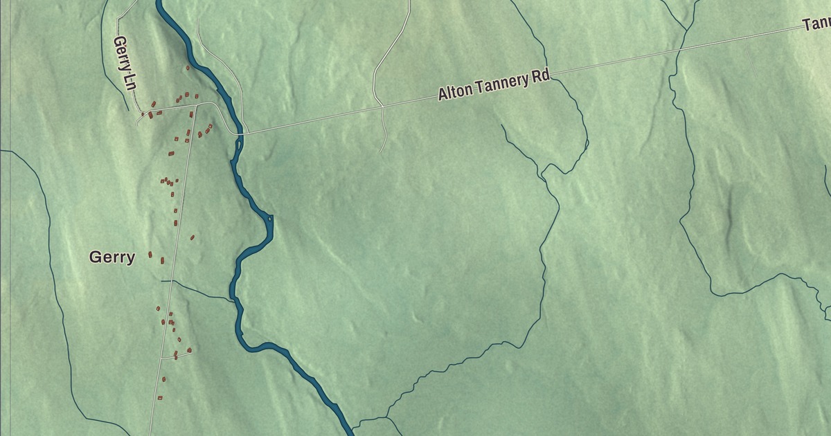
Alton’s motto is “A Little Town of Neighbors,” and its closest neighbor is the city of Old Town, just to the south. This map prints West Old Town Road, Bennoch Road, Hudson Road, Bradford Station Road, Alton Tannery Road and Tannery Road, Gerry and West Old Town, and Holland Pond, Pickerel Pond, Pug Pond and Mansell Pond. Click here to purchase a print of this map for your wall.
Alton is in Penobscot County, and it had 829 people at the 2020 census.
KNOWOL made this map in 2026 from public survey data and gave it the look of an old atlas. The shaded terrain comes from United States Geological Survey elevation data, and the roads and the town line come from the Census Bureau, which counts 42.55 square miles in Alton, only 0.24 of them water.
Neighbors to Old Town
Alton was incorporated in 1844 and named for an Alton in England. It lies on State Highway 16, about 18 miles north of Bangor and west of Interstate 95, with the city of Old Town on its southern side. It’s its own town, but it has no post office or ZIP code of its own: Alton addresses use Old Town’s ZIP code, and the nearest post offices by road are in Old Town and Hudson. Its children go to Alton Elementary School in Regional School Unit 34, which Alton shares with Old Town and Bradley.
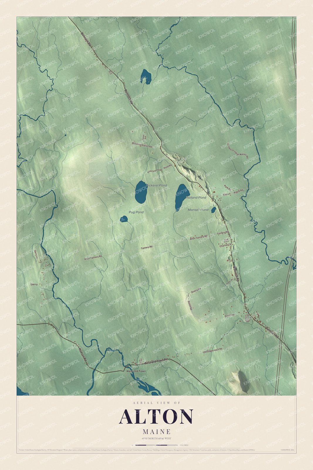
Click to explore a larger preview. The digital watermark does not appear on printed maps.
See it on a wall
The Alton map as a framed print. Swipe for more.


Before the town
People lived in Alton long before it had a name. The Young Site, on the north bank of Pushaw Stream in southern Alton, near where it meets Dead Stream, has yielded evidence of people living there from about 3000 BCE to about 1000 CE. Its page says the oldest finds belong to the Laurentian tradition, including several projectile points, and that a lake probably lay just upstream at the time, ringed by cattail marshes. More than 30 kinds of fish vertebrae were found there, which suggests fishing was a major activity. Pushaw Stream is a tributary of the Penobscot River, and the site has been on the National Register of Historic Places since 1976.
The printed ponds are Holland Pond, Pickerel Pond, Pug Pond and Mansell Pond. Gerry and West Old Town are printed too.
This Alton map makes a fine addition to an office, library or den, and it can teach children the geography and history of a town where people fished Pushaw Stream thousands of years ago. It’s made for anyone who calls Alton home, from Gerry to Pug Pond. Zoom in on the preview above to explore the details, then click here to get your copy of the Alton, Maine map.

Sources