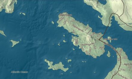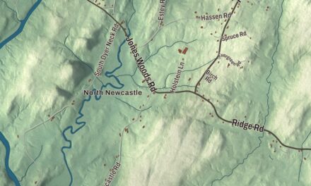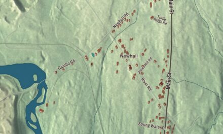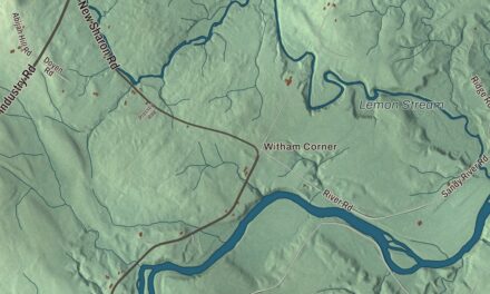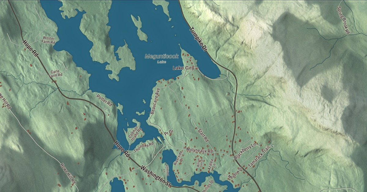
Elm Street, Washington Street, High Street and Mountain Street carry their names on this map of Camden, and Hope Road and Belfast Road are printed too, along with Lake City, Melvin Heights, Hosmer Pond and the Atlantic Ocean. Click here to purchase a print of this map for your wall.
Camden is a town in Knox County, with 5,232 people at the 2020 census.
KNOWOL made this map in 2026 from public survey data and gave it the look of an old atlas. United States Geological Survey elevation data shades the hills, and the streets and town line come from the Census Bureau. The bureau counts 26.65 square miles in Camden, and 8.41 of them are water. The town sits on Penobscot Bay at the mouth of the Megunticook River, and its page calls it one of the few places on the Atlantic seaboard where the mountains meet the sea.
Mills, lime and schooners
European settlement began around 1771, when James Richards built a home at the mouth of the Megunticook. The Conway House, a Cape built around 1770 near the Rockport line, is one of the oldest buildings in Knox County and now a museum. During the Revolution, after the failed Penobscot Expedition of 1779, Camden became a gathering place for American forces under Major George Ulmer. Camden dates to 1791, when Megunticook Plantation was incorporated on February 17 and named for Charles Pratt, 1st Earl Camden, a member of Parliament who stood up for the colonies. In the War of 1812, townspeople built a battery on top of Mount Battie.
The Megunticook River, whose name comes from a Wabanaki word meaning great swells of the sea, ran the town’s mills. By 1886 Camden made anchors, woolens, railroad cars, powder kegs, boots and shoes and much more, and it was the region’s second biggest lime producer after Rockland. By 1858 six shipyards were launching ten to twelve vessels a year, and the H.M. Bean yard built the George W. Wells, the first six-masted schooner ever built.
The summer colony
From the 1880s, wealthy summer people came from Philadelphia, Boston, New York, Washington and Chicago and built big Shingle Style cottages along High Street, Bay View Street and Beauchamp Point. Families such as the Curtises, Boks and Dillinghams paid for the public library, its amphitheater by Fletcher Steele, the Village Green and Harbor Park, designed by the Olmsted Brothers. Cyrus Curtis founded the Camden Yacht Club in 1912, and in 1936 Captain Frank Swift started the windjammer fleet of cruise schooners that still sails today. In 1943 Eleanor Roosevelt came to christen the Pine Tree, one of four wooden barges built here for the war.
Edna St. Vincent Millay went to Camden High School, where she began to develop her gift for writing. In 1912 she recited “Renascence,” a poem written from the top of Mount Battie, at the Whitehall Inn on High Street. A patron who heard her offered to pay for her education at Vassar, and in 1923 she became the first woman to win the Pulitzer Prize for Poetry.
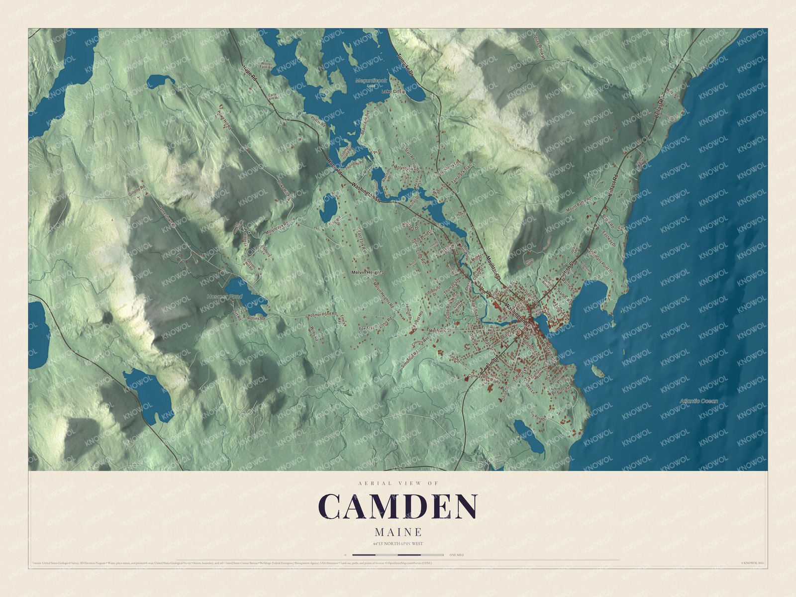
Click to explore a larger preview. The digital watermark does not appear on printed maps.
See it on a wall
The Camden map as a framed print. Swipe for more.


Elm Street and Washington Street
Elm Street and Washington Street are printed on the map. In November 1892 a fire swept the business district, crossing Main Street and burning the north side of Elm Street as far as Washington Street. It destroyed 18 homes and 40 commercial buildings, the old opera house among them. The town then required new buildings there to be made of fireproof materials, and 18 of the 22 buildings in today’s Camden Great Fire Historic District went up in 1893. The Camden Opera House, at the southwest corner of Washington and Elm opposite the town common, was finished that year with a 500-seat theater and town offices, and it still hosts town meetings and the Camden International Film Festival.
High Street and Mountain Street
High Street is printed on the map. It carries U.S. Route 1 north from the harbor, and the High Street Historic District keeps its 19th-century houses, from early farmhouses to the Queen Anne Norumbega Castle, along with Harbor Park and the 1929 library and amphitheater. Mountain Street is printed too. It’s the Camden end of State Route 52, which runs inland along the east side of Megunticook Lake toward Belfast. Hope Road and Belfast Road are printed as well, along with Lake City and Melvin Heights, the town’s other village.
Hosmer Pond is printed on the map. The Camden Snow Bowl, the town’s ski area on Ragged Mountain, opened beside it in 1936. Volunteers built it, floating all the lumber across Hosmer Pond, and the Works Progress Administration built its road. Its page calls it one of the oldest continuously operating ski areas in New England and the only East Coast ski area with ocean views. Each February the U.S. National Toboggan Championships run down its 400-foot wooden chute and out onto the frozen pond. The Atlantic Ocean is printed too. Camden Hills State Park, built by the Civilian Conservation Corps in the 1930s, overlooks the bay with trails up Mount Battie and Mount Megunticook.
This Camden map makes a handsome addition to an office, library or den, and it can teach children the geography and history of a harbor town under the hills. It’s made for anyone who calls Camden home, from Melvin Heights to Hosmer Pond, as it looks today. Zoom in on the preview above to explore the details, then click here to get your copy of the Camden, Maine map.

Sources
- Camden, Maine, Wikipedia
- Conway House (Camden, Maine), Wikipedia
- Megunticook River, Wikipedia
- Edna St. Vincent Millay, Wikipedia
- Camden Great Fire Historic District, Wikipedia
- Camden Opera House Block, Wikipedia
- High Street Historic District (Camden, Maine), Wikipedia
- Maine State Route 52, Wikipedia
- Camden Snow Bowl, Wikipedia
- Camden Hills State Park, Wikipedia