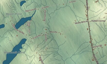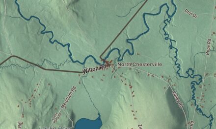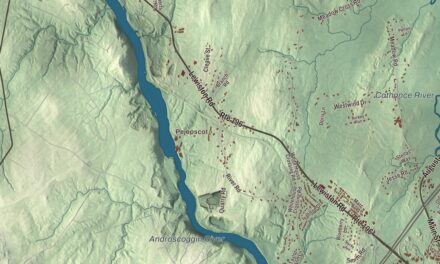
If you’ve spent a summer on Molasses Pond, or driven Molasses Pond Road out of the village, this map of Eastbrook, Maine will feel familiar. Eastbrook Road, Sugar Hill Road and Stone Dam Road are here, along with Webb Pond, Abrams Pond and Scammon Pond. Click here to purchase a print of this map for your wall.
Eastbrook is a town in Hancock County, with 424 people at the 2020 census.
KNOWOL made this map in 2026 from public survey data and gave it the look of an old atlas. The Census Bureau measures the town at 37.65 square miles, 4.30 of them water, and its files give the roads and the town line. United States Geological Survey elevation data shades the hills and hollows, and Eastbrook has a listed elevation of 217 feet.
The east branches
Eastbrook was incorporated as a town on February 8, 1837. The town takes its name from its place in the Union River watershed, where the river’s eastern branches rise. It lies in the hill country of interior Downeast Maine, between Waltham, Franklin and a run of unorganized townships, and it’s less one village than a string of small settlements: the village around the church and town office, Cave Hill, Sugarhill, Roaring Brook, Stone Dam and the camps along each pond.
The town center sits where Molasses Pond Road meets Route 200. Two wood-frame buildings stand there on the west side of the highway, the Eastbrook Baptist Church of 1860 and the Eastbrook Town House of 1880, listed together on the National Register of Historic Places in 1978. Both are late examples of the Greek Revival style, with paneled corner pilasters, and the town house seems to have been built to match the church, though a stand of woods separates them. The church’s 1860 date comes at the very end of the years Greek Revival buildings were usually built in Maine.
Molasses Pond
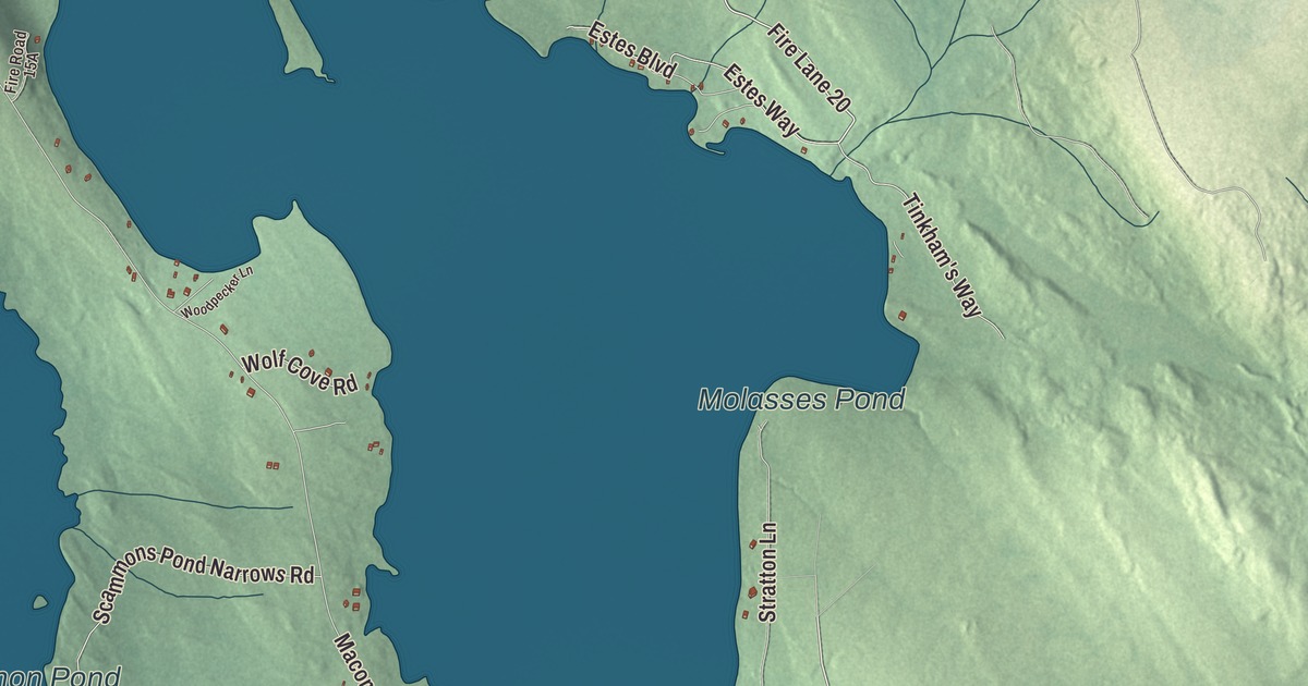
Molasses Pond is one of the larger lakes in town, shared with Franklin, and its north shore is home to the Molasses Pond House, where the yearly Eastbrook Days festival often holds events at the beach. Deep Cove, a hamlet of a few camps and cottages, is on the east shore, and Sugarhill looks out over the water toward the Schoodic foothills. Local lore says the pond got its name from canoes that sank under loads of molasses and maple sugar from Sugarhill trees, on their way down the lake toward Scammon’s; another story ties the name to Molly Molasses or another Native figure. The pond is mentioned in N. Galen Havey’s Memoirs of the Sweet Life on Molasses Pond, and the Molasses Pond Writers Creative Collaborative Workshop meets there.
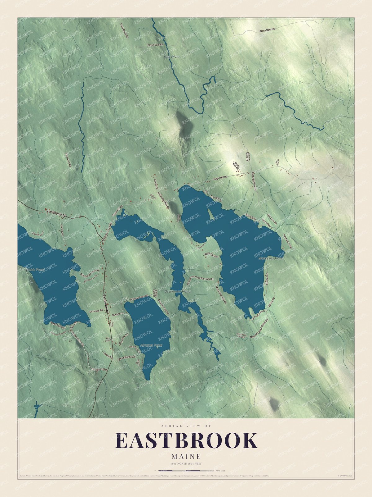
Click to explore a larger preview. The digital watermark does not appear on printed maps.
See it on a wall
The Eastbrook map as a framed print. Swipe for more.


Barrens and woods
Loons, trout, eagles, moose and deer share the town’s ponds, marshes and woods. Each summer the blueberry barrens fill with harvest crews and machinery, and lumber and gravel come out of town as well. Bull Hill, one of the town’s named areas, is the site of the Bull Hill wind power project, one of the renewable energy projects developers sought permission for in and near Eastbrook in the late 2000s. Eastbrook’s younger children go to Cave Hill School, and older students travel to the Sumner Learning Campus in Sullivan.
Around Eastbrook
Eastbrook Road is printed on the map, and so are Molasses Pond Road, Sugar Hill Road, Stone Dam Road, Spring Road and Roaring Brook Road. Molasses Pond, Webb Pond, Abrams Pond and Scammon Pond are labeled on the map too. Sugar Hill Road and Stone Dam Road share their names with the Sugarhill and Stone Dam settlements, and Roaring Brook Road with the brook where a few homes and camps stand. The smaller roads and lanes are drawn in as well.
This Eastbrook map makes a fine addition to an office, library or den, and it can help teach children the geography and history of the area. It’s made for everyone who calls Eastbrook home, from Webb Pond to Molasses Pond, as it looks today. Zoom in on the preview above to explore the details, then click here to get your copy of the Eastbrook, Maine map.

Sources
- Eastbrook, Maine, Wikipedia
- List of municipalities in Maine, Wikipedia
- Maine Private and Special Laws 1837, chapter 237, An Act to incorporate the town of Eastbrook
- Maine Private and Special Laws 1837, chapter 237, An Act to incorporate the town of Eastbrook
- Eastbrook Baptist Church and Eastbrook Town House, Wikipedia