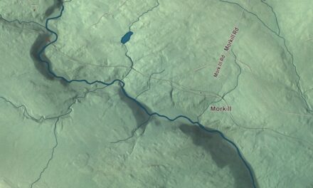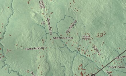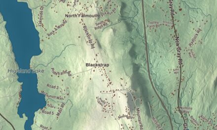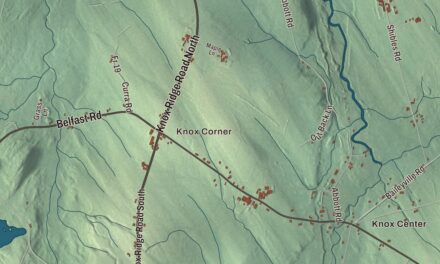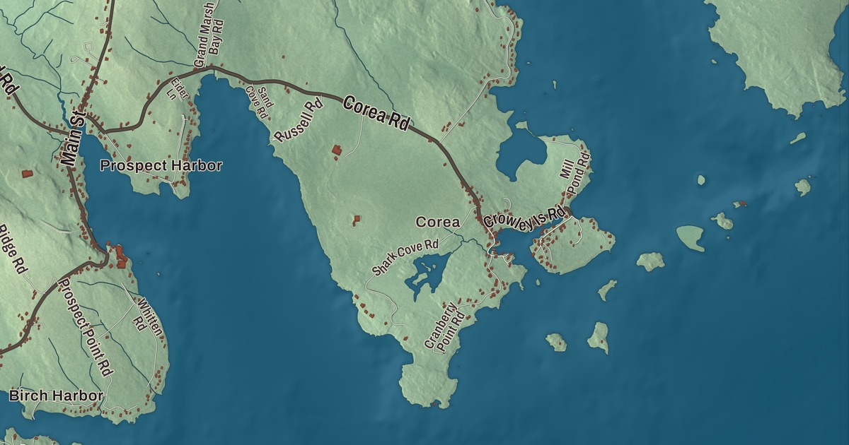
Corea and Birch Harbor give you two familiar places to begin on the Gouldsboro map. Prospect Harbor, the ponds and the Atlantic Ocean are named in the same coastal view. Click here to purchase a print of this map for your wall.
Gouldsboro is a town in Hancock County, on the Schoodic Peninsula.
KNOWOL made this map in 2026 from public survey records, combining modern geography with the look of a vintage atlas. United States Geological Survey elevation data shapes the terrain, and Census Bureau files supply the roads and municipal boundary. Buildings, ponds and waterways complete the aerial view.
Several villages within one town
Gouldsboro was incorporated in 1789 and named for local landholder Robert Gould. The 2020 census counted 1,703 residents.
Corea received its present name in 1896, when a post office was established in the village. Lobster fishing is its principal industry in the town profile. Birch Harbor, Prospect Harbor, South Gouldsboro, Summer Harbor and West Gouldsboro are other names that belong to the town and appear on this map.
The light at Prospect Harbor
A lighthouse began operating at Prospect Harbor in 1850. The present wooden tower dates to 1891, and the station was placed on the National Register of Historic Places in 1988. It stands at Prospect Harbor Point, between Sand Cove and Inner Harbor.
The light was automated in 1934 and remains an aid to navigation in its source history. The associated keeper’s house was heavily damaged in 2022; it should not be read as an intact historic house alongside the tower. The lighthouse history adds a specific maritime story to the village of Prospect Harbor.
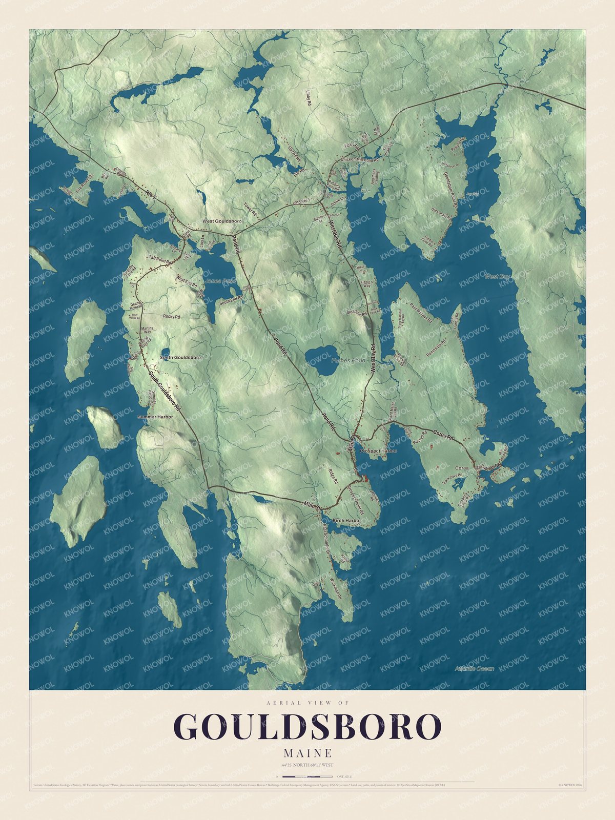
Click to explore a larger preview. The digital watermark does not appear on printed maps.
See it on a wall
The Gouldsboro map as a framed print. Swipe for more.


Exploring the Gouldsboro map
Find Corea and Birch Harbor, then look for Prospect Harbor, South Gouldsboro, Summer Harbor and West Gouldsboro. Corea Road, Main Street, West Bay Road, Pond Road, South Gouldsboro Road and Paul Bunyan Road are all named on the artwork.
West Bay, Jones Pond, Forbes Pond and Atlantic Ocean have printed names too. The coastline, inland ponds and roads are brought together within the town boundary. Each gives you a different part of Gouldsboro to examine in the aerial view.
For people who call Gouldsboro home, the map brings familiar roads and places together as it looks today. Hang it in an office, library or den, or use it to teach children the geography and history of the area. Zoom in on the preview above to explore the details, then click here to get your copy of the Gouldsboro, Maine map.

Sources