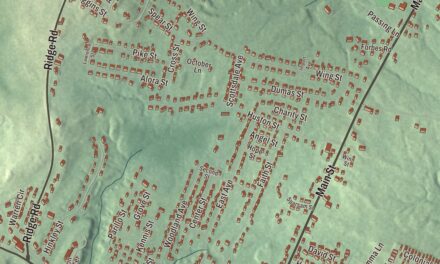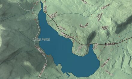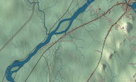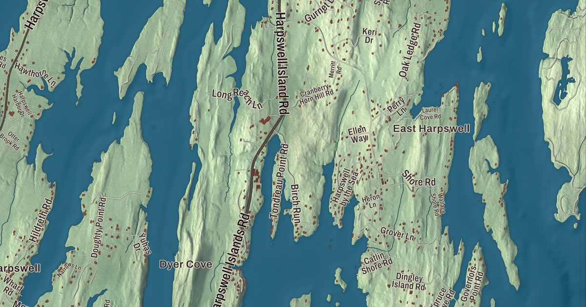
East Harpswell and Dyer Cove give you familiar names to find on this Harpswell map. Bailey Island, Orrs Island and Cundys Harbor bring more of the coastal town into the same view. Click here to purchase a print of this map for your wall.
Harpswell is a town in Cumberland County, on Casco Bay.
KNOWOL made this map in 2026 from public survey records, with modern geography and the look of a vintage atlas. United States Geological Survey elevation data gives the terrain its shading. Census Bureau files supply the roads and municipal boundary, with buildings and water features brought together in the aerial view.
A neck and several islands
Harpswell consists of Harpswell Neck and islands including Sebascodegan, Orr’s and Bailey. The larger islands are connected by bridges. Its town history places incorporation in 1758, when it separated from North Yarmouth and took the name of Harpswell in Lincolnshire, England.
Farming, fishing and shipbuilding were local occupations. Tide-powered mills also worked here, including a gristmill at Basin Cove that operated from 1867 to 1885. Water held at high tide supplied power as it was released during the ebb. The population was 5,031 at the 2020 census.
The cribstone bridge
Bailey Island Bridge was built in 1927 and 1928 to link Bailey Island with Orr’s Island. Engineer Llewelyn N. Edwards designed a structure of granite cribstones, with a concrete roadway above. The spaces between the stone slabs allow tidal water to pass through.
The bridge entered the National Register of Historic Places in 1975 and was recognized as a National Historic Civil Engineering Landmark in 1984. Repair work in 2009 and 2010 replaced damaged stones while keeping the original dimensions. The bridge’s design is a specific part of the history connecting two islands within Harpswell.
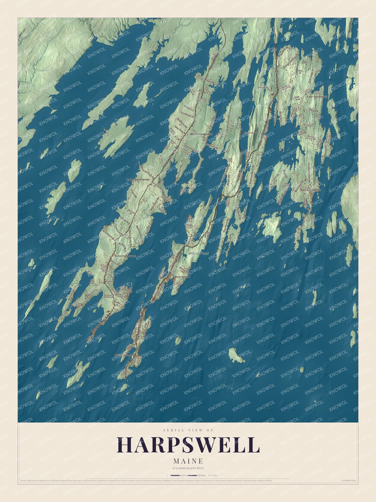
Click to explore a larger preview. The digital watermark does not appear on printed maps.
See it on a wall
The Harpswell map as a framed print. Swipe for more.


A closer look at Harpswell
East Harpswell, Dyer Cove, Bailey Island, Cundys Harbor, Harpswell Center, North Harpswell and Orrs Island are printed on the artwork. Harpswell Islands Road, Harpswell Neck Road, Harpswell Road, Long Point Road, Cundys Harbor Road and Mountain Road are named too.
Wilson Pond carries a printed name of its own. The coastline, roads, buildings and terrain are shown together within the municipality. Harpswell’s geography includes both the neck connected to the mainland and its island communities.
For people who call Harpswell home, the map brings familiar places together as it looks today. It can hang in an office, library or den, or help teach children the geography and history of the area. Zoom in on the preview above to explore the details, then click here to get your copy of the Harpswell, Maine map.

Sources