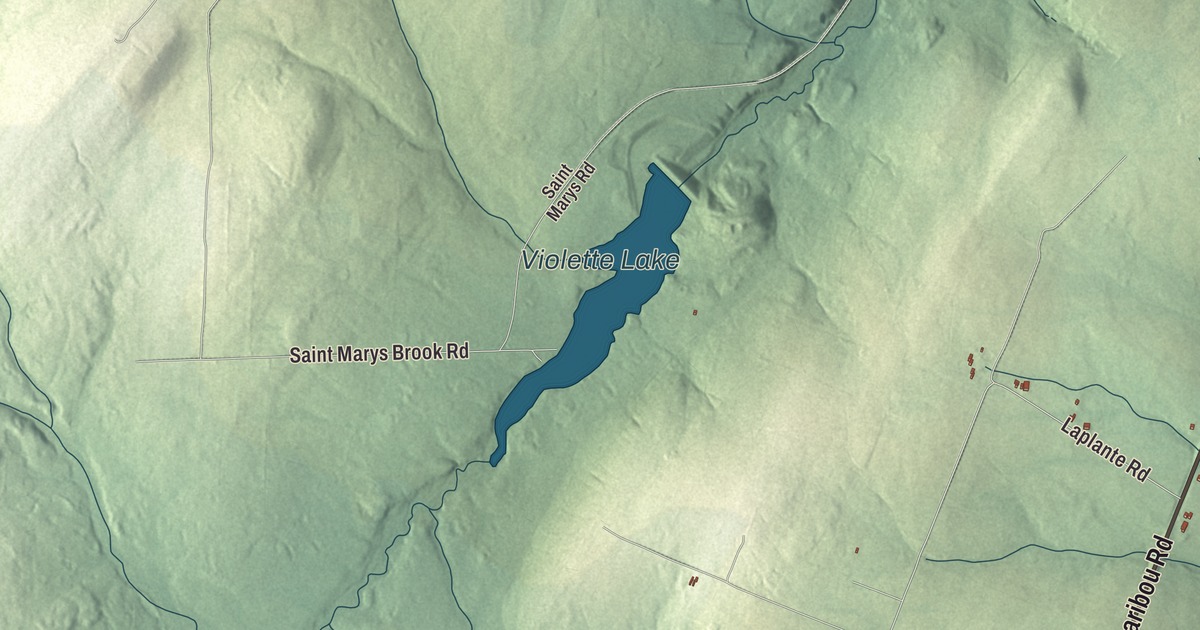
Caribou Road is the first name to find on this map of Cyr, Maine, and Laplante Road, Ouellette Road, Michael Road, Abel Cyr Road and State Street are printed around it, with Violette Lake on the water. Click here to purchase a print of this map for your wall.
Cyr is a plantation in Aroostook County, with 78 people at the 2020 census.
KNOWOL made this map in 2026 from public survey data and gave it the look of an old atlas. The roads and the plantation line come from the Census Bureau, which measures Cyr at 38.3 square miles, all of it land. United States Geological Survey elevation data shades the land, and the listed elevation is 889 feet.
Named for the Cyrs
Early settlers came to what was then called Township Letter L in the mid-1800s. Around that time a road was built between the Aroostook River and Grand Falls, New Brunswick, the road that now runs between Caribou and Hamlin, and many of the newcomers took grants to lots along it and along Hammond Brook to farm. Cyr dates to 1870: the plantation was formally organized on March 12 of that year and named for the many Cyrs in the area, among them Andre Cyr and his father, the first Cyrs in the plantation. In French it’s Plantation Cyr. The census counted 117 people here in 2000 and 78 in 2020.
The Governor Brann School
On the east side of U.S. Route 1, just south of Laplante Road, stands the Governor Brann School, built in 1934 and named for Louis J. Brann, who was governor of Maine at the time. It was the third school the community built for its third district, a one-room Craftsman building with a hip roof and wood shingles, and its design came from a series of model plans drawn by the Portland firm Miller & Mayo under a 1909 state law meant to improve Maine’s rural schools. As enrollment fell, Cyr closed three of its six schools in 1943 and the rest in 1950, when its children began going to school with Van Buren’s. The Brann School is the best-preserved of the old district schools, and the plantation still uses it as a polling place and meeting hall. It was added to the National Register of Historic Places in 1993.
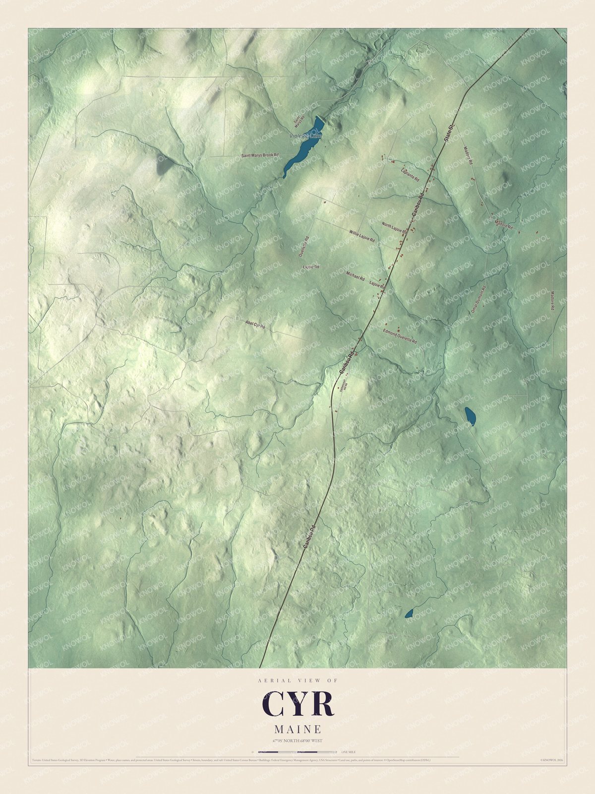
Click to explore a larger preview. The digital watermark does not appear on printed maps.
See it on a wall
The Cyr map as a framed print. Swipe for more.


Across the plantation
Caribou Road is printed on the map, and so are State Street, Laplante Road, Michael Road, Ouellette Road and Abel Cyr Road. Violette Lake is labeled on the map, and the smaller roads around it are drawn in as well.
This Cyr map makes a fine addition to an office, library or den, and it can help teach children the geography and history of the area. It’s made for everyone who calls Cyr home, from Caribou Road to Abel Cyr Road, as it looks today. Zoom in on the preview above to explore the details, then click here to get your copy of the Cyr, Maine map.

Sources