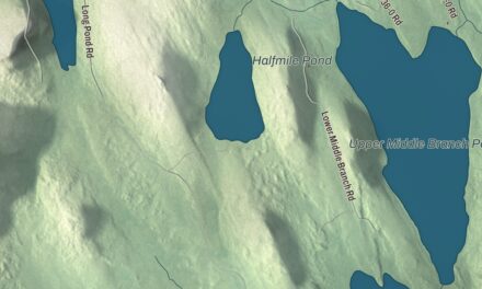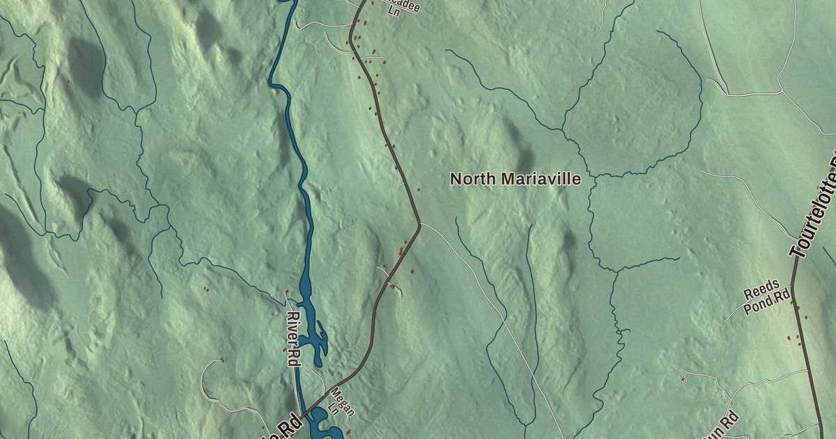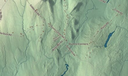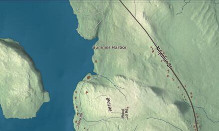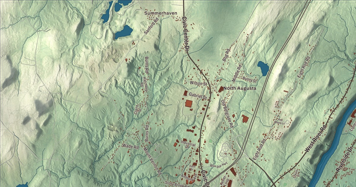
Maine’s capital sits at the head of the tide on the Kennebec, and its capitol grounds rise from the river to State Street. This map prints Water Street, State Street, Western Avenue, Northern Avenue, North Belfast Avenue and West River Road, with North Augusta, Summerhaven and Pelton Hill, and four ponds: Togus Pond, Lower Togus Pond, Threecornered Pond and Dam Pond. Click here to purchase a print of this map for your wall.
Augusta is a city in Kennebec County, and it had 18,899 people at the 2020 census.
KNOWOL made this map in 2026 from public survey data and gave it the look of an old atlas. The shaded terrain comes from United States Geological Survey elevation data, and the roads and the city line come from the Census Bureau, which counts 58.03 square miles here, 55.13 of them land. Bond’s Brook, Woromontogus Stream and the Kennebec River drain the city. Augusta is the easternmost state capital in the country, and Interstate 95 passes along its western outskirts.
Cushnoc, the Fort and Harrington
The Plymouth Colony traders who came in 1628 called the place by its Native name, Cushnoc, which the city page translates as “head of the tide.” They traded with bands of the Abenaki from a palisaded post on the east bank until they left in 1661, and archaeologists found its postholes, tobacco pipes and glass beads in digs from 1984 to 1987. Just north of that site the Kennebec Proprietors built Fort Western in 1754, a log trading post with blockhouses that was never directly attacked. In 1775 Benedict Arnold’s men stopped there to repair their bateaux before marching up the Kennebec toward Quebec. The fort’s main house is the one original part left, and its page calls it the oldest surviving wooden fort in America. It has been a museum since July 4, 1922.
The village around “the Fort” was part of Hallowell from 1771. In February 1797 it was set off as the town of Harrington, and later that year it took the name Augusta, after Pamela Augusta Dearborn, daughter of Henry Dearborn. It became the seat of the new Kennebec County in 1799 and the capital of Maine in 1827, over Portland, Brunswick and Hallowell, and it was incorporated as a city in 1849.
Martha Ballard, the midwife of Hallowell, kept a diary of more than 1,400 pages from 1785 until her death in 1812, recording the 816 babies she delivered and the lives of ordinary people on the Kennebec. She died in Augusta, the diary came to the Maine State Library here in 1930, and in 1961 it was published within a history of Augusta. The historian Laurel Thatcher Ulrich made her famous in 1990 with A Midwife’s Tale.
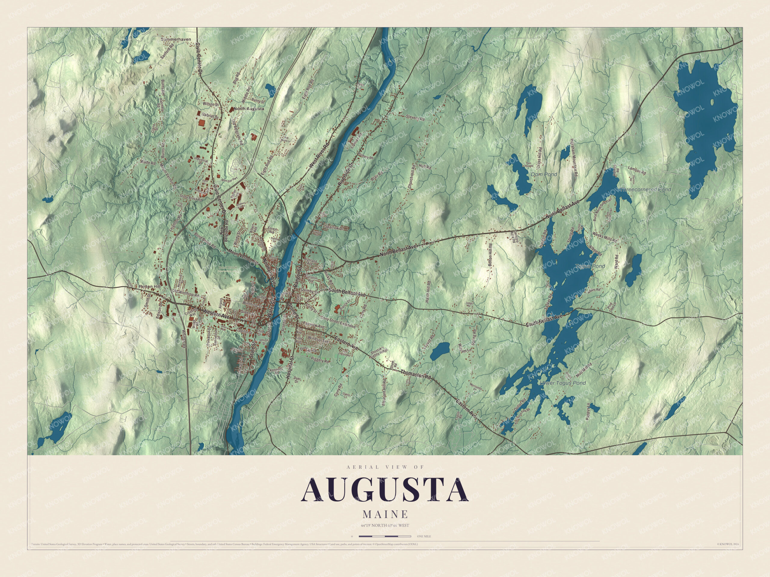
Click to explore a larger preview. The digital watermark does not appear on printed maps.
Names on this map
These names are printed on this map.
Places: Summerhaven, Pelton Hill, Togus Pond, Lower Togus Pond, Threecornered Pond, Dam Pond, Bond Brook Recreation Area and North Augusta.
Streets and roads: North Belfast Avenue, Water Street, Western Avenue, Northern Avenue, State Street, West River Road, Civic Center Drive, Riverside Drive, Eastern Avenue, Hospital Street, South Belfast Avenue, Thomaston Road.
More street names, A to Z
Airport Road, Albee Road, Albert Avenue, Allenwood Park Road, Alton Road, Anthony Avenue, Arsenal Street, Bangor Street, Blair Road, Blaisdell Street, Blue Star Highway, Bog Road, Bolton Hill Road, Bond Brook Road, Bridge Street, Buck North Doe Trail, Bunny Street, Burns Road, Capitol Street, Caswell Street, Central Street, Chapel Street, Child Street, Church Hill Road, Claire Street, Cony Road, Cony Street, Cony Street Extended, Cross Hill Road, Crossing Way, Dam Pond Road, Darin Drive, Divided Lane, Drew Street, Duncan Road, Dyer Drive, Edison Drive, Edward Street, Eight Rod Road, Fairview Avenue, Fifth Avenue, First Avenue, Forest Avenue, Fuller Road, Gabriel Drive, Gage Street, Ganneston Drive, Gerabro Acre Road, Green Street, Gypsy Lane, Hatchery Road, Hatch Hill Road, Hayden Road, Hayes Road, Hicks Road, Highland Avenue, High Street, Holmes Road, Huff Road, Industrial Drive, Ingraham Mountain Road, Kennedy Road, King Pine Drive, Lafayette Street, Lamson Road, Leavitt Road, Ledge Road, Leighton Road, Linwood Avenue, Lipman Road, Lone Indian Trail, Lynn Road, Lyon Lane, Middle Road, Monroe Street, Morrisette Lane, Mount Vernon Avenue, Mount Vernon Road, Mud Mill Road, New Belgrade Road, New England Road, North Street, Old Belgrade Road, Old Winthrop Road, Outlet Road, Pappys Lane, Parkwood Drive, Pearl Street, Pierce Drive, Piggery Road, Pine Tree Lane, Pleasant Hill Road, Pond Drive, Prescott Road, Pullen Road, Purinton Avenue, Quimby Street, Red Maple Lane, Ridge Road, Rumery Road, Sanford Road, Sewall Street, Shaw Road, Shostak's Sightly Ridge, Smith Street, Sparrow Drive, Spring Road, Stephen King Drive, Stevens Road, Stone Street, Stony Brook Road, Tasker Road, Thurston Road, Togus Road, Tracy Street, Union Street, Wade Road, Ward Road, Weeks Mills Road, Westwood Road, Whitten Road, Willow Street, Wilson Street, Windsor Avenue, Windy Street, Winthrop Street, Witham Lane, Xavier Loop, Young Road.
See it on a wall
The Augusta map as a framed print. Swipe for more.


State Street and Water Street
State Street is printed on the map. In 1827 the people of Augusta gave the state the land for its capitol grounds and laid out State Street to reach them. Charles Bulfinch of Boston designed the Maine State House, built of granite from the Hallowell quarries, and the legislature first met there on January 4, 1832. It was doubled in length and given a 185-foot dome in 1909 and 1910, and Minerva, in gilt copper, stands on top. Capitol Park slopes down from State Street to the river, where troops camped during the Civil War. Across from the State House, at Capitol and State streets, is the Blaine House, built in 1833 and bought in 1862 by James G. Blaine, later secretary of state and the 1884 Republican nominee for president. His daughter Harriet Blaine Beale gave it to Maine in 1919, and it has been the governor’s official residence since then.
Water Street is printed too. It was laid out in the late 1700s along the west bank, and for most of the city’s history it was the business district. In 1890 the first trolley ran down it to Gardiner and Hallowell. More than a dozen of its buildings, from the Colonial Theater at 139 Water Street to the Old Post Office at 295, are on the National Register of Historic Places. When the Maine Turnpike and Interstate 95 opened in 1955, stores moved toward the highway, and since the late 2000s the city and its downtown alliance have worked to revitalize downtown. Western Avenue is printed as well. At number 39 stands St. Mary’s Church, also on the National Register.
Downriver on the east bank is the Kennebec Arsenal, mostly granite, built from 1828 in part because of the boundary dispute with New Brunswick. In 1838 General Winfield Scott came to the arsenal and arranged a stand-down with New Brunswick’s lieutenant governor, a friend of his. Edwards Dam held back the Kennebec from 1837 until 1999, when it became the first hydroelectric dam the government removed against its owner’s wishes, freeing 17 miles of river.
This Augusta map makes a handsome addition to an office, library or den, and it can teach children the geography and history of the capital at the head of the tide. It’s made for anyone who calls Augusta home, from Summerhaven and Pelton Hill to North Augusta, as it looks today. Zoom in on the preview above to explore the details, then click here to get your copy of the Augusta, Maine map.

Sources
- Augusta, Maine, Wikipedia
- Cushnoc Archeological Site, Wikipedia
- Fort Western, Wikipedia
- Martha Ballard, Wikipedia
- Maine State House, Wikipedia
- Capitol Park (Augusta, Maine), Wikipedia
- Blaine House, Wikipedia
- Kennebec Arsenal, Wikipedia
- Edwards Dam, Wikipedia
- National Register of Historic Places listings in Kennebec County, Maine, Wikipedia