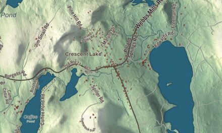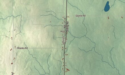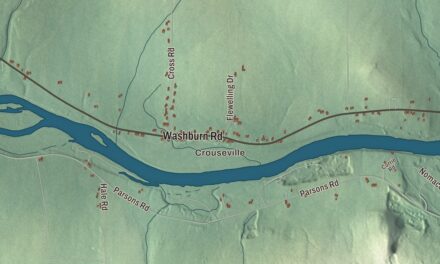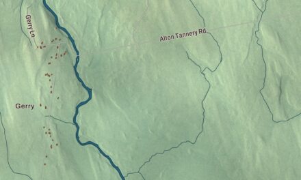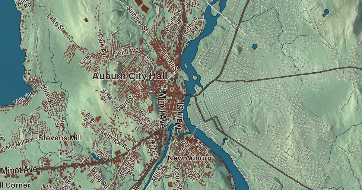
Auburn faces Lewiston across the Androscoggin, and people from either side call the pair the Twin Cities. On this map of the Auburn side you’ll find Auburn City Hall and Auburn Plains, Main Street, Minot Avenue, Washington Street, Center Street, Turner Road and Riverside Drive, and out past the city streets North Auburn, East Auburn, Danville, Danville Corner and Harmons Corner, with Gulf Island Pond and Taylor Pond. Click here to purchase a print of this map for your wall.
Auburn is a city in Androscoggin County, and it had 24,061 people at the 2020 census.
KNOWOL made this map in 2026 from public survey data and gave it the look of an old atlas. The shaded terrain comes from United States Geological Survey elevation data, and the roads and the city line come from the Census Bureau, which counts 65.74 square miles here, 59.33 of them land. The Androscoggin and the Little Androscoggin drain the city. The Little Androscoggin runs 51.4 miles from Bryant Pond in Woodstock to meet the bigger river in Auburn, and Lake Auburn, a reservoir within the city, supplies water to Lewiston and Auburn both.
From Bakerstown to Auburn
This land was part of the Pejepscot Purchase, bought in 1714 by a group from Boston and Portsmouth, but rival claims led to long litigation, and settlement waited until after the French and Indian Wars. The first settlers came in 1786, when it was part of Bakerstown, which became Poland in 1795. It was next part of Minot, and on February 24, 1842, Auburn was formed from Minot as a town of its own. Its page says the name was apparently inspired by “Auburn,” the village in Oliver Goldsmith’s poem “The Deserted Village” of 1770. Auburn kept growing by taking in its neighbors: part of Poland in 1852, all of Danville, first called Pejepscot, in 1867, and Minot in 1873. It became a city on February 22, 1869, and in 1917 it was the first city in Maine to adopt the council-manager form of government. Auburn has been the seat of Androscoggin County since the county was formed in 1854, after a fierce contest with Lewiston, and its brick courthouse on Turner Street was ready in 1857.
The shoe city
Farms came first. Then a bridge to Lewiston in 1823 and the Atlantic and St. Lawrence Railroad from Portland in January 1848 turned Auburn into a mill town, its mills run by water power from the falls of the Androscoggin and the Little Androscoggin. The city page says the factory system of shoe manufacture began at Auburn in 1835, and by the late 19th century shoes were the city’s main industry. The shoe factories drew many French Canadian immigrants, many of them by train from Quebec, and between 1860 and 1890 the population tripled to 12,000. In 1917 one Auburn factory made 75 percent of the world’s white canvas shoes. The city seal shows a spindle with a different kind of shoe at each point, under the motto Vestigia Nulla Retrorsum, “No Backward Steps.” The big makers closed between 1957 and 1961, and today the Shoe Fountain, a run of cast bronze shoes at Festival Plaza on the river, remembers them.
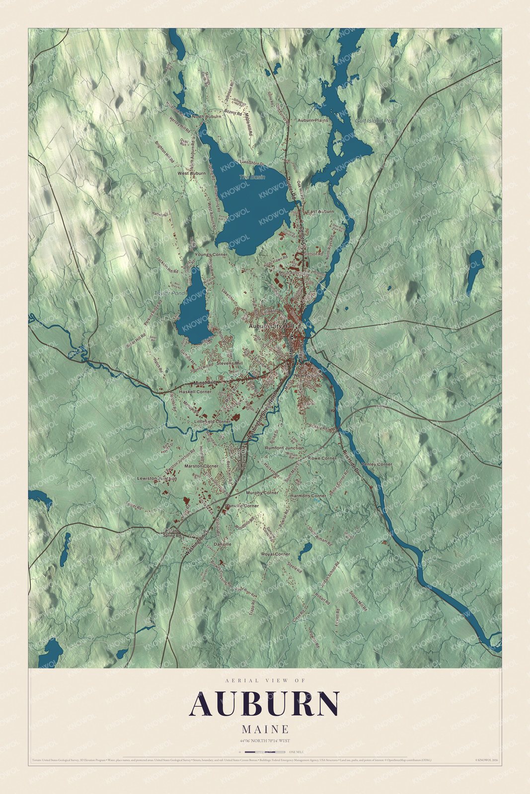
Click to explore a larger preview. The digital watermark does not appear on printed maps.
See it on a wall
The Auburn map as a framed print. Swipe for more.


Main Street and Riverside Drive
Main Street is printed on the map. South of downtown, at 217 Main Street on the corner of Vine Street, stands the Federal-style house Edward Little built in the 1820s. He came from Newbury, Massachusetts, inherited large holdings in Auburn and Lewiston, pushed for the town’s growth and gave generously to its churches and civic life, and the city’s high school, begun in 1835 as Lewiston Falls Academy on land he gave, carries his name. His house is the oldest in the Main Street Historic District, 14 houses built between about 1825 and 1925, among them the domed Queen Anne A. A. Garcelon House at 223 Main Street, which its page calls probably the most elaborate of the city’s Queen Anne houses.
Riverside Drive is printed too. On its west side in rural southern Auburn, a short way north of Penley Corner Road, is the Free Baptist Church of 1833, also called the Penley Corner Church. It’s plain clapboard on the outside and painted and stenciled within, with Queen Anne stained glass and a kerosene chandelier as its only light. Local people saved it from demolition and still hold a service there once a year.
Danville and Danville Corner are printed on the map, and they keep the name of the town Auburn absorbed in 1867. North Auburn, East Auburn and Harmons Corner are printed as well, along with Minot Avenue, which shares its name with the town Auburn grew out of.
This Auburn map makes a handsome addition to an office, library or den, and it can teach children the geography and history of the city that made shoes for the world. It’s made for anyone who calls Auburn home, from Danville Corner to North Auburn, as it looks today. Zoom in on the preview above to explore the details, then click here to get your copy of the Auburn, Maine map.

Sources
- Auburn, Maine, Wikipedia
- Little Androscoggin River, Wikipedia
- Lake Auburn, Wikipedia
- Androscoggin County Courthouse and Jail, Wikipedia
- Edward Little House, Wikipedia
- Main Street Historic District (Auburn, Maine), Wikipedia
- Free Baptist Church (Auburn, Maine), Wikipedia
- Edward Little High School, Wikipedia