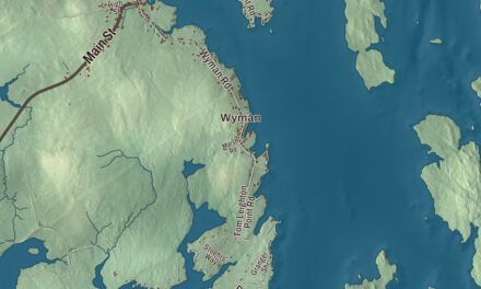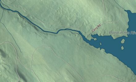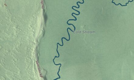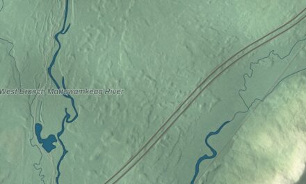
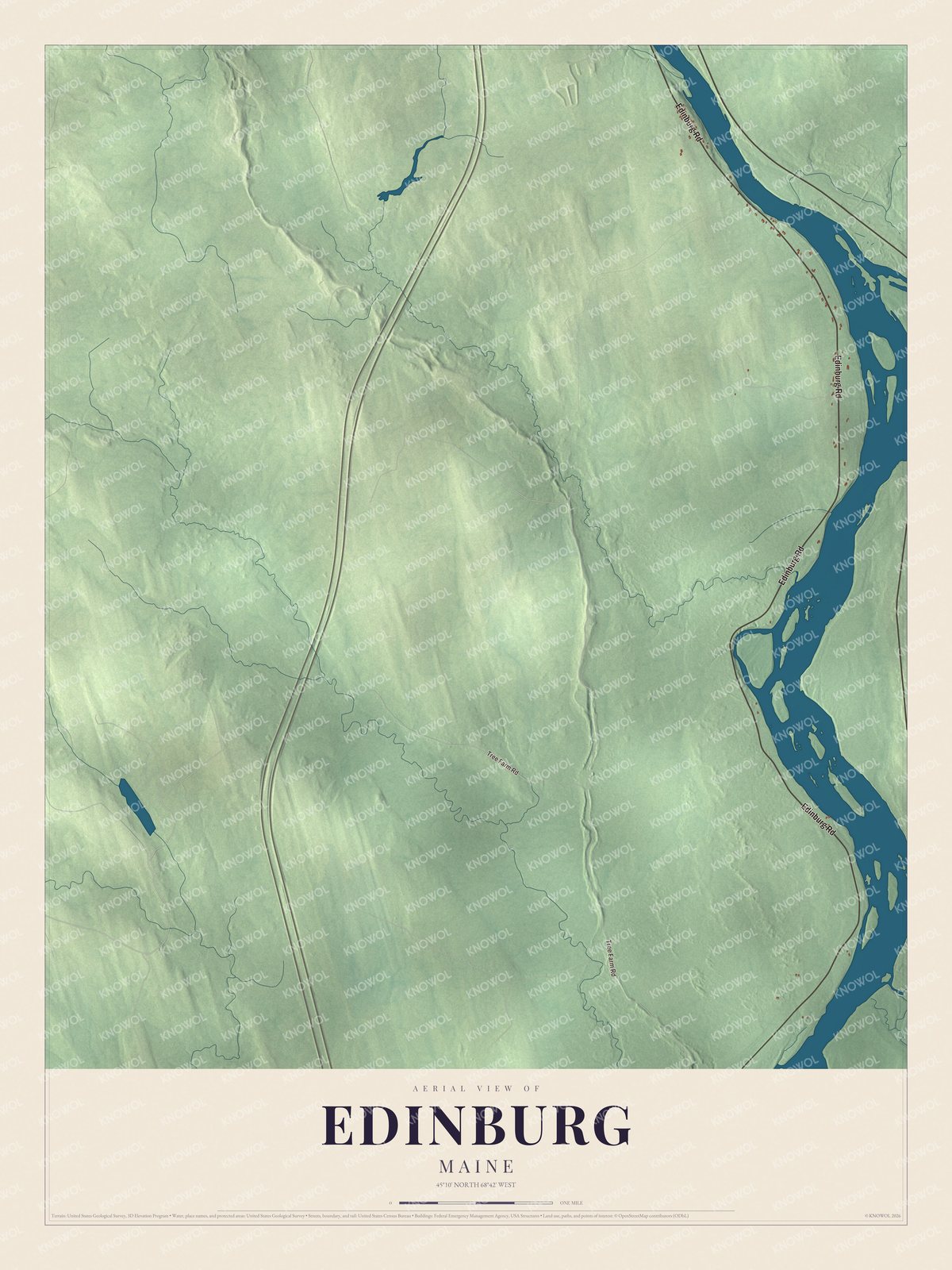
Edinburg Road and Tree Farm Road are the two names printed on this map of Edinburg, Maine. The town’s other roads and lanes are drawn in around them. Click here to purchase a print of this map for your wall.
Edinburg is a town in Penobscot County, with 134 people at the 2020 census.
KNOWOL made this map in 2026 from public survey data and gave it the look of an old atlas. The Census Bureau measures the town at 35.01 square miles, all of it land, and its files give the roads and the town line. United States Geological Survey elevation data shades the ground, which has a listed elevation of 223 feet.
A Scottish name on the Penobscot
Edinburg lies between Argyle and Howland, along State Route 116 on the west bank of the Penobscot River, and it’s part of the Bangor metropolitan area. Its name was surely taken from Edinburgh, the Scottish city, and was probably given by John Bennoch, a Scotsman who settled in nearby Orono. In 1826 Bennoch built a road from Orono to Medford that ran through what is now Edinburg.
The town was incorporated in 1835. It began small: in 1843 it had 52 residents, 23 of them children, and by 1859 it had 93.
Click to explore a larger preview. The digital watermark does not appear on printed maps.
See it on a wall
The Edinburg map as a framed print. Swipe for more.


Corporal Haynes
Asbury F. Haynes was born in Edinburg on September 4, 1842. He served as a corporal in Company F of the 17th Maine Volunteer Infantry, and on April 6, 1865, he captured the battle flag of the 21st North Carolina at the Battle of Sailor’s Creek in Virginia. The deed won him the Medal of Honor, the nation’s highest military decoration. Haynes later moved to Washington State, lived until 1931 and is buried at Lake View Cemetery in Seattle.
Around Edinburg
Edinburg Road and Tree Farm Road are printed on the map, and the smaller roads and lanes are drawn in as well. This Edinburg map makes a fine addition to an office, library or den, and it can help teach children the geography and history of the area. It’s made for everyone who calls Edinburg home, from Edinburg Road to Tree Farm Road, as it looks today. Zoom in on the preview above to explore the details, then click here to get your copy of the Edinburg, Maine map.

Sources