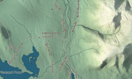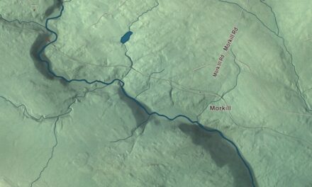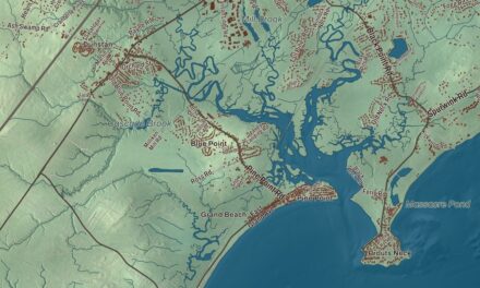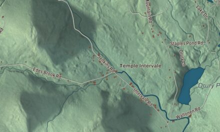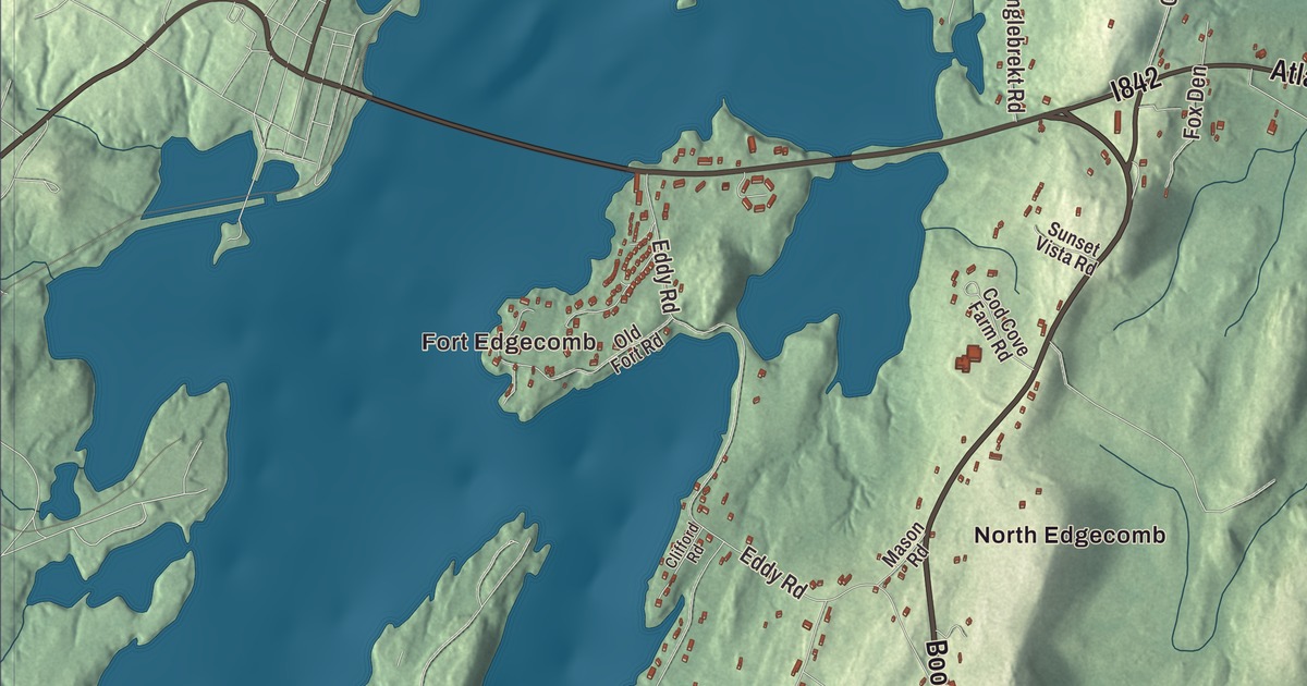
Fort Edgecomb is the place to begin on this map of Edgecomb, Maine, and Atlantic Highway and Boothbay Road come next. North Edgecomb, East Edgecomb and Pools Landing are all here, along with Lily Pond. Click here to purchase a print of this map for your wall.
Edgecomb is a town in Lincoln County, with 1,188 people at the 2020 census.
KNOWOL made this map in 2026 from public survey data and gave it the look of an old atlas. The Census Bureau measures the town at 20.78 square miles, 2.71 of them water, and its files give the roads and the town line. United States Geological Survey elevation data shades the ground, which has a listed elevation of 213 feet.
A town named for a friend
Edgecomb was incorporated on March 3, 1774, and named for George Edgcumbe, 1st Earl of Mount Edgcumbe, a supporter of the colonists. There’s little industry in town today, but its past runs through shipbuilding, sawmills, brickyards, farming, landing the harvest of the sea, and quarrying rock and feldspar. The town takes in the neighborhoods of North Edgecomb, East Edgecomb and Pools Landing.
Two early houses in town are on the National Register of Historic Places. On Cross Point Road, the John Moore House was standing by 1741 on land granted to Moore in 1736, and its page counts it among the oldest surviving buildings in Mid Coast Maine. John Grey bought it in 1764 and raised its roof, an ell and a moved barn joined it in 1850, and a ship’s captain, William Manson Patterson, owned it late in the 19th century. At the end of Old Mill Road, by Parsons Creek, the Stephen Parsons House dates to 1806. Parsons came to Edgecomb in 1801, made the town’s first survey, served as its first postmaster, ran the general store and a tide-powered grist mill on the creek, and was elected to Maine’s first Senate in 1820. The main hall of his Federal house is painted with ivy stencils.
Up Cross Point Road in North Edgecomb, the Congregational Church of Edgecomb, now the Edgecomb Community Church, serves a congregation with records back to 1783. It met in the town hall until about the time of the Civil War and then in a school before this building was finished, and its round-arched windows set it apart from other rural Maine churches of its time.
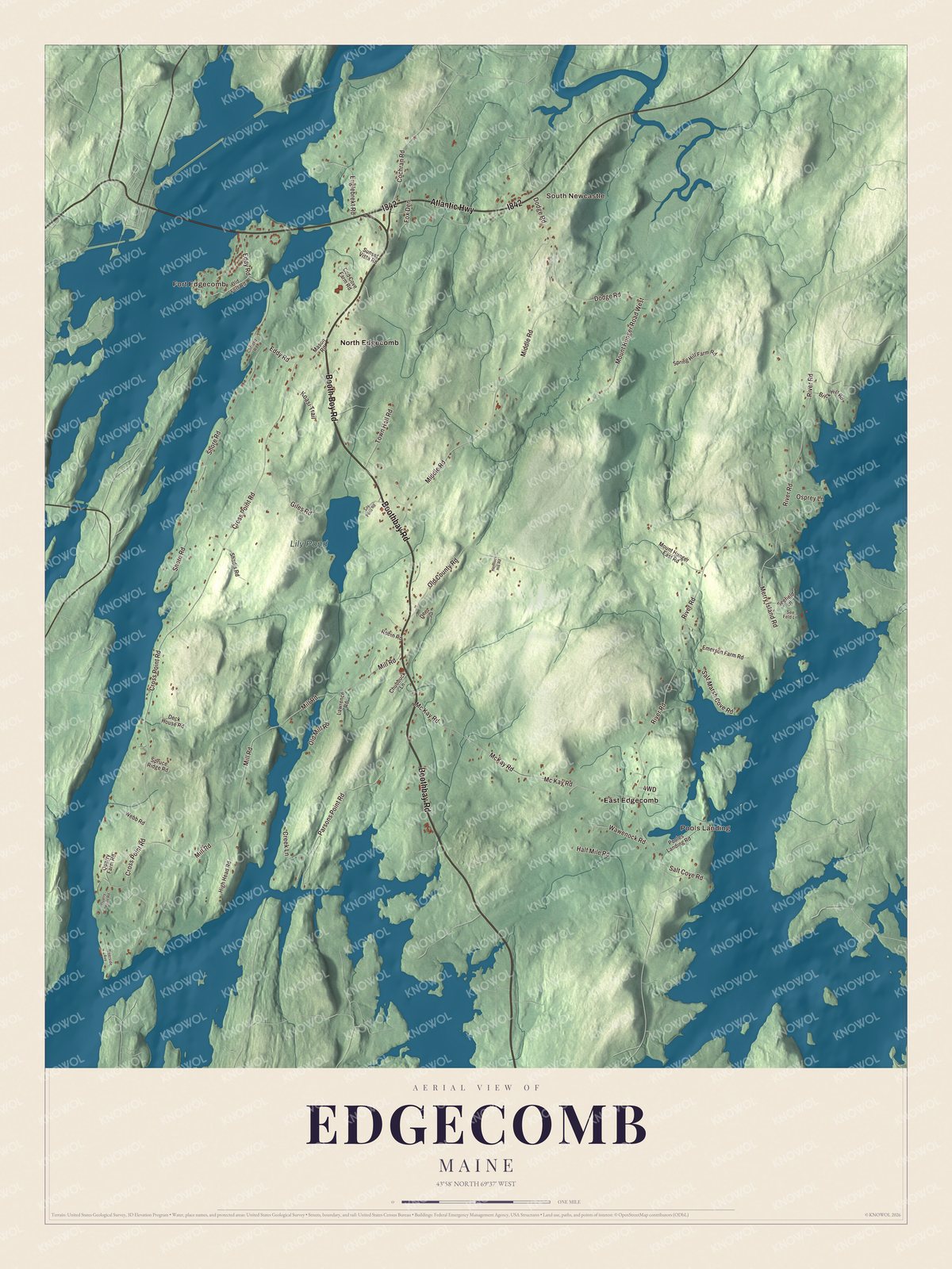
Click to explore a larger preview. The digital watermark does not appear on printed maps.
See it on a wall
The Edgecomb map as a framed print. Swipe for more.


The fort on Davis Island
Fort Edgecomb stands at the south end of Davis Island, a peninsula reaching into the Sheepscot River. It was built in 1808 and 1809 to guard the port of Wiscasset, then one of the largest shipbuilding centers in New England, as war with Britain threatened. Its eight-sided wooden blockhouse is two stories tall, with an upper floor wider than the one below, but its main armament was a water battery of five cannons facing the river. The fort’s first job was enforcing the Embargo Act, and it’s said that one of the two times its cannons fired was in salute at James Madison’s inauguration in 1809. The other came on February 14, 1815, when news of peace with Britain arrived. During the War of 1812 it held British prisoners, many brought in by American privateers. Now a Maine State Historic Site, it was listed on the National Register of Historic Places in 1969.
Painters, teachers and writers
Earl Cunningham was born in Edgecomb in 1893. He left home at 13, worked as a tinker, peddler and coastal pilot, and taught himself to paint, turning out more than 400 bright, flat landscapes of the Atlantic coast, and he picked up the nickname “Grandpa Moses.” In 1990 Nancie Atwell founded the Center for Teaching and Learning in Edgecomb, a school where students choose their own books and read an average of 40 a year. In 2015 she became the first winner of the $1 million Global Teacher Prize and gave the money to the school. Novelist Lea Wait moved to Edgecomb in 1998 and wrote historical novels for children and mystery series for adults, many of them set in Maine.
Around Edgecomb
Atlantic Highway and Boothbay Road are printed on the map, and so are Booth Boy Road, Mc Kay Road, Dodge Road and Cochran Road. Fort Edgecomb, Pools Landing, South Newcastle, East Edgecomb and North Edgecomb are printed too, and Lily Pond is labeled on the map. The smaller roads are drawn in as well.
This Edgecomb map makes a fine addition to an office, library or den, and it can help teach children the geography and history of the area. It’s made for everyone who calls Edgecomb home, from Fort Edgecomb to North Edgecomb, as it looks today. Zoom in on the preview above to explore the details, then click here to get your copy of the Edgecomb, Maine map.

Sources