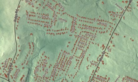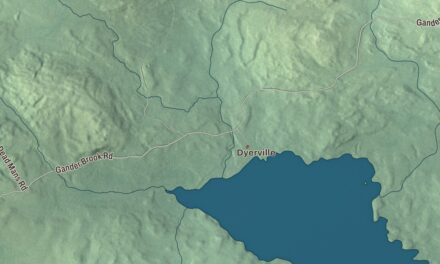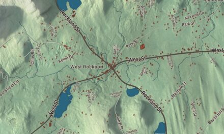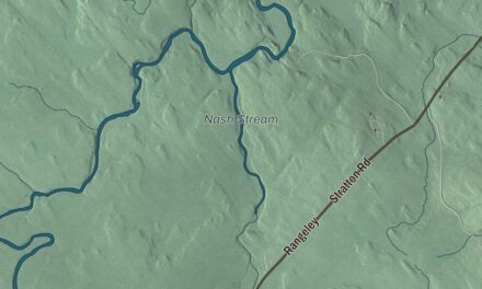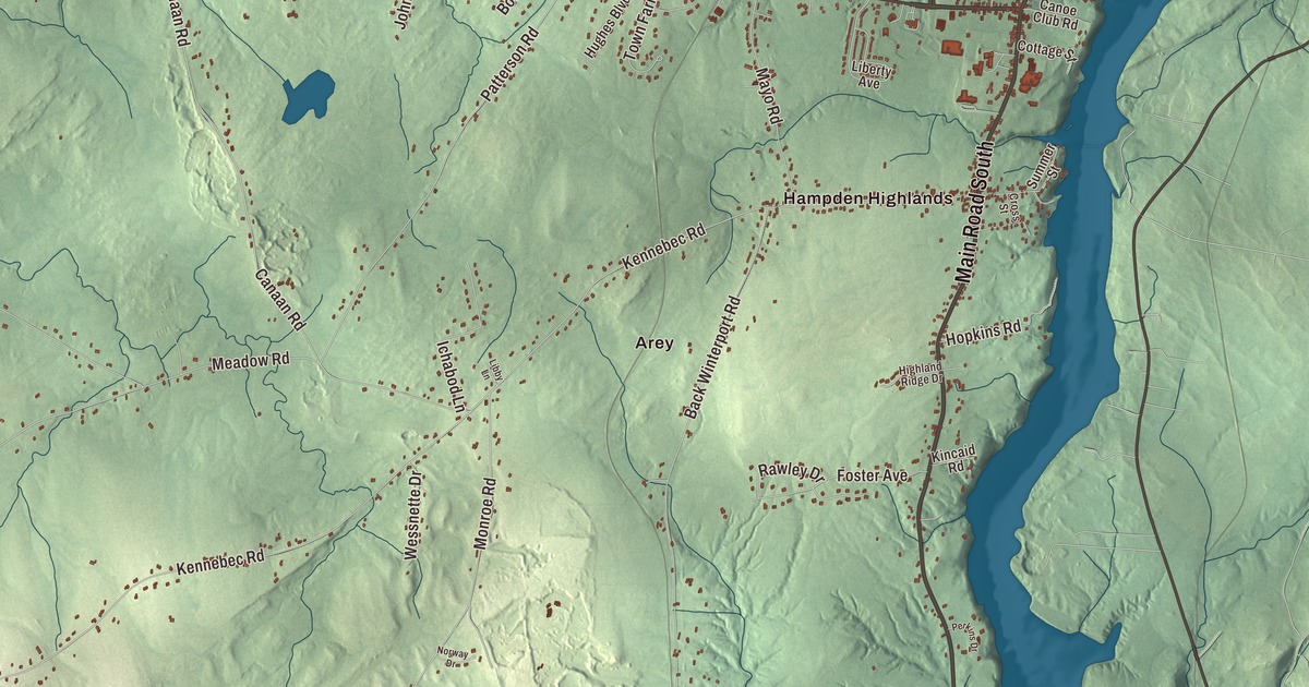
Arey and Fowler Landing give you two names to find on this Hampden map. Western Avenue, Hampden Center and the local ponds help you explore the town from there. Click here to purchase a print of this map for your wall.
Hampden is a town in Penobscot County, on the Penobscot River estuary.
KNOWOL made this map in 2026 from public survey records, with modern geography and the look of a vintage atlas. United States Geological Survey elevation data gives the terrain its shading. Census Bureau files supply the roads and municipal boundary, with buildings and water features brought together in the aerial view.
Wheelersborough becomes Hampden
The community was called Wheelersborough after settler Benjamin Wheeler. It incorporated in 1794 and took its name from John Hampden, the English political figure. The town had 7,709 residents at the 2020 census.
A reformer and a lawyer
Dorothea Dix was born in Hampden in 1802. She became a teacher and writer, then investigated care for people living with mental illness and presented her findings to legislatures. Her work supported changes in public care, and she later served as Superintendent of Army Nurses during the Civil War.
Hannibal Hamlin began practicing law in Hampden after his admission to the bar in 1833 and lived here until 1848. He went on to serve in Congress and as Lincoln’s vice president. Hamlin opposed the expansion of slavery and supported the Emancipation Proclamation; the local historical society exhibits a restoration of his early law office on its museum grounds.
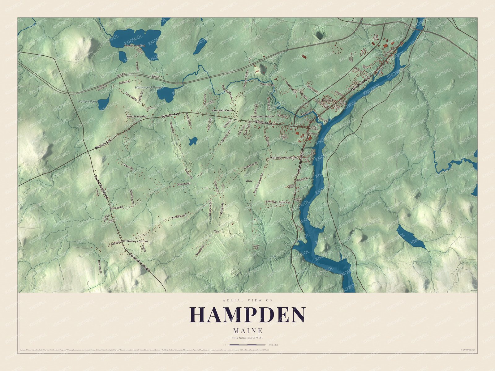
Click to explore a larger preview. The digital watermark does not appear on printed maps.
See it on a wall
The Hampden map as a framed print. Swipe for more.


A closer look at Hampden
Find Arey, Fowler Landing, Hampden Center, Hampden Highlands, Hampden Station, Hardy Hill and Nealeys Corner. Western Avenue, Shaw Hill Road, Fowler Road, Kennebec Road, Meadow Road and Back Winterport Road are printed by name.
Hammond Pond and Patten Pond both carry printed names. The town is drained by Souadabscook Stream and the Penobscot River. Its roads and building patterns are shown with the terrain inside the municipal boundary.
For people who call Hampden home, the map brings familiar places together as it looks today. It can hang in an office, library or den, or help teach children the geography and history of the area. Zoom in on the preview above to explore the details, then click here to get your copy of the Hampden, Maine map.

Sources