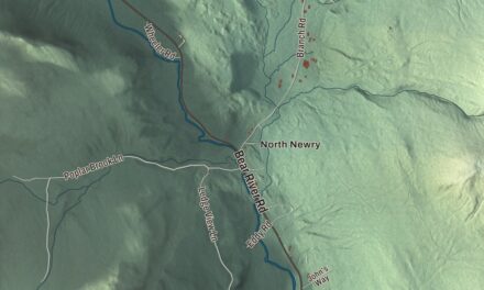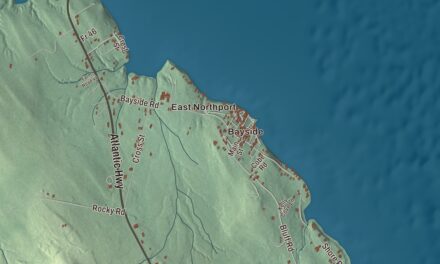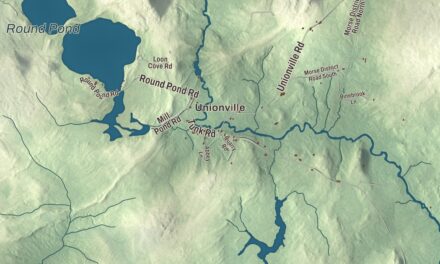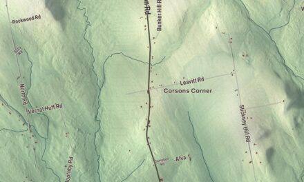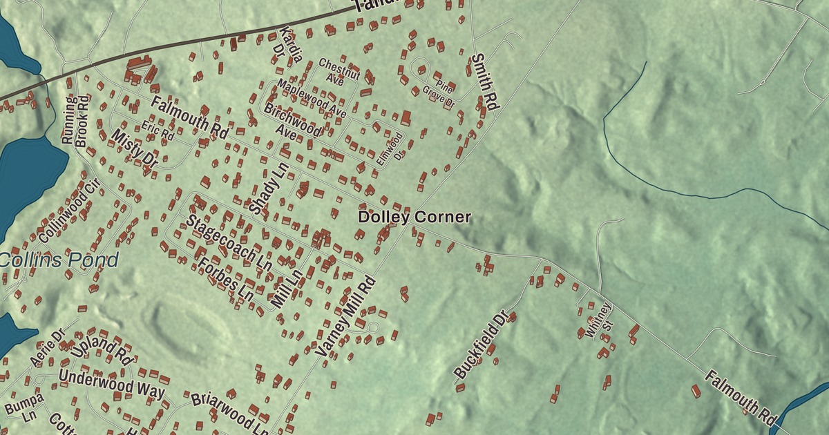
Roosevelt Trail runs through the heart of this map of North Windham, the Cumberland County village between Sebago Lake’s Jordan Bay and Little Sebago Lake. Click here to purchase a print of this map for your wall.
North Windham is a named community in Cumberland County.
KNOWOL made this map in 2026 from public survey records, United States Geological Survey elevation data and Census Bureau files. Its atlas layout brings together North Windham’s streets, buildings, waters and terrain. The community is mapped with its own boundary. The finished artwork gives North Windham its own place title.
A crossroads by the lakes
North Windham is a village and census-designated place in the town of Windham, between Jordan Bay on Sebago Lake to the west and Little Sebago Lake to the east. The 2020 census counted 5,274 people here, in an area of 6.8 square miles.
Windham’s land was granted in 1734 to men from Marblehead, Massachusetts, and the settlement, first called New Marblehead Plantation, was incorporated in 1762 as Windham. North Windham grew with the automobile. The transcontinental Roosevelt Trail was designated in 1919, and it has carried the U.S. Route 302 number since 1935. The trail brought growing numbers of automobile tourists through North Windham, and Boody’s store went up on the northern corner where the trail meets Route 115, selling grain, groceries and hardware. With Sebago Lake vacationers and commuters to the Portland area, the crossroads village has grown into Windham’s commercial center. Pope Road links it with Windham Center.
A pitcher from North Windham
Willard Mains was born in North Windham in 1868. He joined the Chicago White Stockings at 20 and pitched for four major league teams, including the 1896 Boston Beaneaters. Most of his long career was in the minor leagues, where he won 318 games.
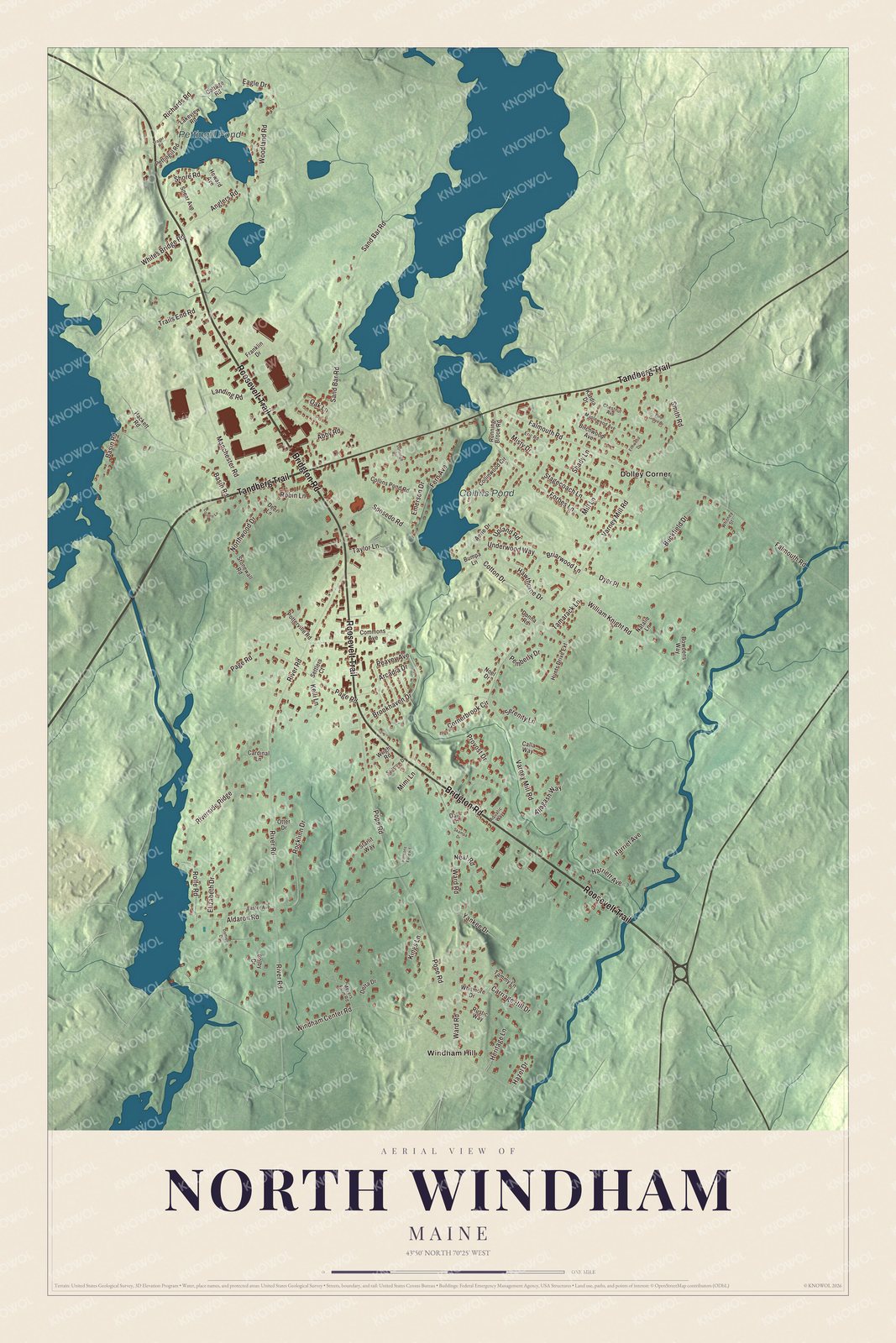
Click to explore a larger preview. The digital watermark does not appear on printed maps.
See it on a wall
The North Windham map as a framed print. Swipe for more.


Explore the North Windham map
Start with Dolley Corner and Windham Hill, then follow Roosevelt Trail, Bridgton Road, Tandberg Trail, Richards Road, Pope Road and Mill Lane across the community. Those names are printed on the artwork, and Collins Pond and Pettingill Pond are labeled too. Compare the close-set buildings along the main roads with the quieter streets around the ponds.
For people who call North Windham home, this map shows the community as it looks today. Put it in your office, library, or den, or use it to teach children the geography and history of the area. Zoom in on the preview above to explore the details, then click here to get your copy of the North Windham, Maine map.

Sources