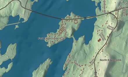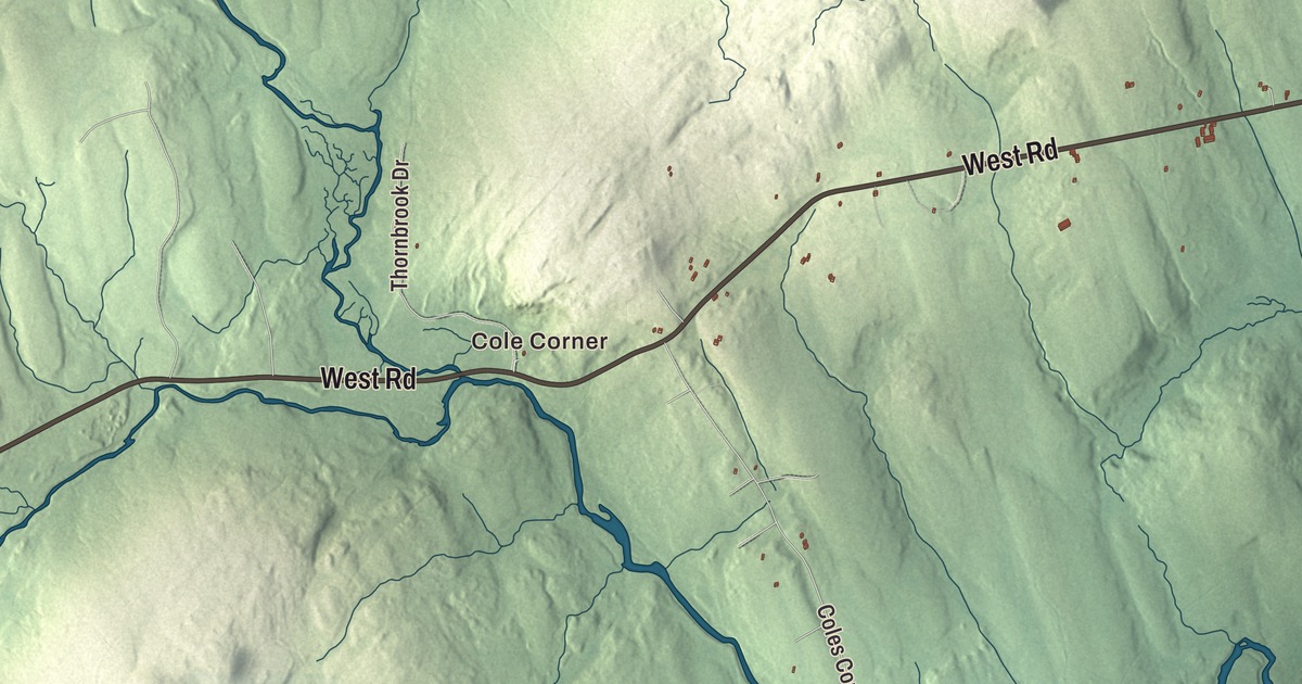
If you’re from Abbot, you know Main Road and Main Street, Blaine Avenue, and the drive out Barrows Falls Road or Tenney Hill Road. This map prints them, along with West Road, Abbot Village, Upper Abbot, Cole Corner, Moosehorn and Monson Junction. Click here to purchase a print of this map for your wall.
Abbot is in Piscataquis County, and it had 650 people at the 2020 census.
KNOWOL made this map in 2026 from public survey data and gave it the look of an old atlas. The shaded terrain comes from United States Geological Survey elevation data, and the roads and the town line come from the Census Bureau, which puts the town at 35.70 square miles, 1.17 of them water.
The junction
Abbot was incorporated in 1827, and it carries the name of John Abbot, the treasurer of Bowdoin College. Monson Junction is where two railroads met. The standard gauge Bangor and Piscataquis Railroad, later part of the Bangor and Aroostook, bypassed Monson by six miles, and when it did, the Monson and Athens Railroad Company was chartered, in 1882, for a two-foot narrow gauge line between Monson Junction and Monson. It reached Monson in September 1883 and opened for business that October. Its page notes that the Scientific American of May 1890 called it the smallest railroad in the United States.
The freight was slate. Monson’s page says a resident who had come from Wales found it in 1870 while driving his horse through the countryside, and the quarries that followed turned it into sinks, bathtubs, tabletops, chalkboards, roof shingles and headstones. At first four round trips a day ran to meet each of the standard gauge trains, and the Bangor and Aroostook built a new freight transfer siding at Monson Junction in 1904. Harold Morrill started on the railroad as a fireman in 1884, became superintendent in 1908, and kept working as its conductor through 1938.
Monson’s page says the little locomotives carried slate and passengers to the Bangor and Aroostook in Abbot until 1943. The railroad’s page says that when the Bridgton and Saco River line was taken up in 1941, Monson’s became the last two-foot gauge railroad in commercial operation in Maine and the nation, and the last flat cars of crated slate came down to Monson Junction on July 12, 1943. Two of its engines, numbers 3 and 4, were found in a New York equipment yard in 1946, and the page says they still run at the Maine Narrow Gauge Railroad Co. & Museum in Portland.
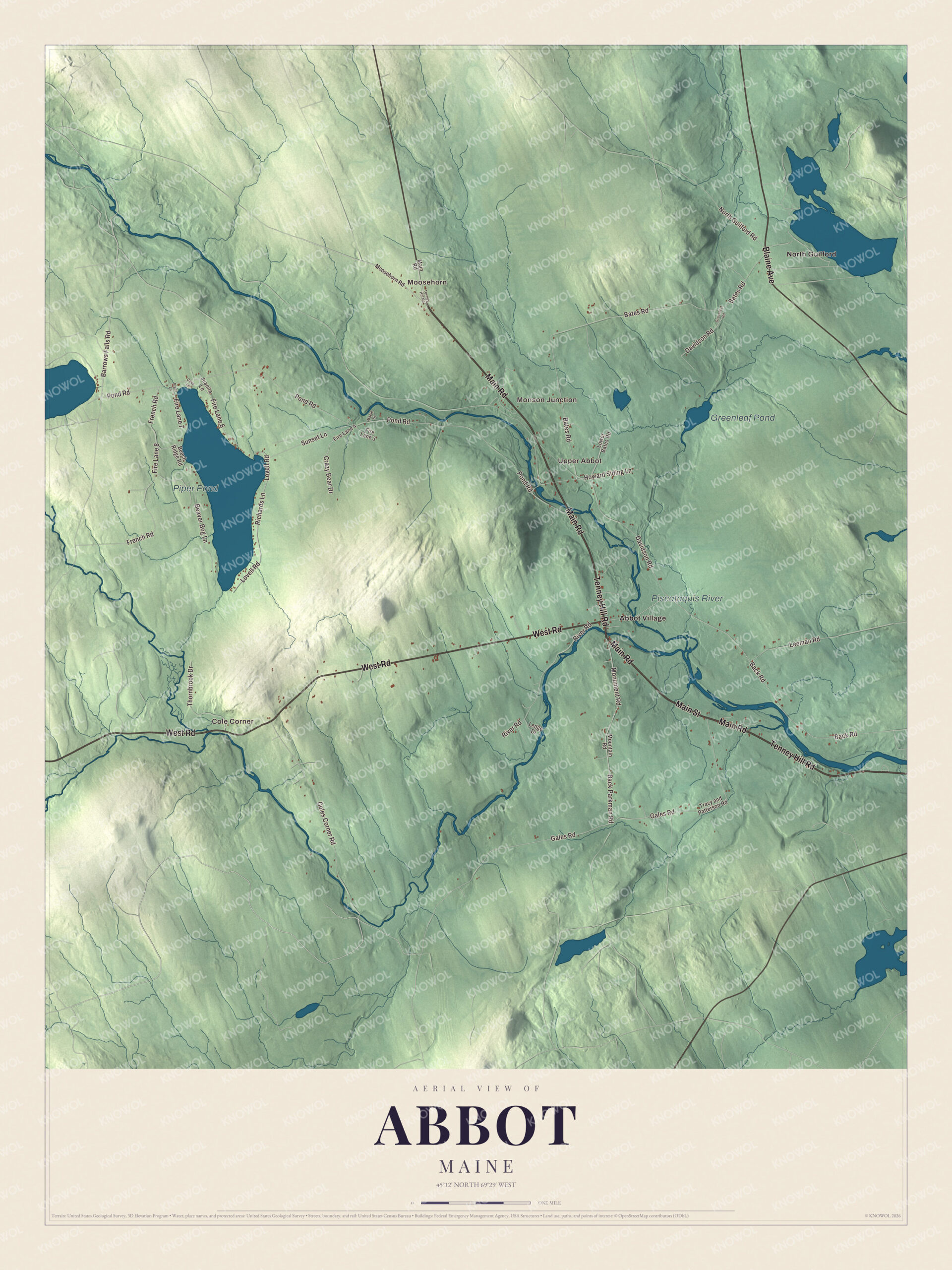
Click to explore a larger preview. The digital watermark does not appear on printed maps.
Names on this map
These names are printed on this map.
Places: Cole Corner, Moosehorn, Monson Junction, Upper Abbot, Piper Pond, Greenleaf Pond, Piscataquis River, Abbot Village and North Guilford.
Streets and roads: West Road, Tenney Hill Road, Main Road, Main Street, Blaine Avenue, Barrows Falls Road, Pond Road, Back Road, Back Parkman Road, Monument Road, Gales Road, Bates Road.
More street names, A to Z
Beaver Bog Lane, Beech Ridge Road, Coles Corner Road, Cove Lane, Crazy Bear Drive, Davidson Road, Fire Lane 3, Fire Lane 4, Fire Lane 6, Fire Lane 7, Fire Lane 8, French Road, Greenleaf Road, Howard Siding Lane, Juanita Lane, Ledge Drive, Leeman Road, Lovell Road, Lower Bates Road, Maple Drive, Moosehorn Road, Mountain Road, North Guilford Road, Piper Lane, Richards Lane, River Road, Sunset Lane, Thornbrook Drive, Tracy and Patterson Road.
See it on a wall
The Abbot map as a framed print. Swipe for more.


River and road
The Piscataquis River is printed on the map. It’s a major tributary of the Penobscot, starting where its East and West branches meet in Blanchard and running about 65 miles, mostly east, to join the Penobscot at Howland. Piper Pond and Greenleaf Pond are printed too, and so are the village names, Abbot Village and Upper Abbot.
The road west has its own story. Henry David Thoreau’s book The Maine Woods includes a drawing of moose antlers showing the way to Blanchard and Monson. Monson’s page says the antlers have been replaced several times, and that a set stands today on a pole in about the same spot, just after the road leaves the town of Abbot.
This Abbot map makes a handsome addition to an office, library or den, and it can teach children the geography and history of a town where Monson’s slate trains once met the main line. It’s made for anyone who calls Abbot home, from Cole Corner to Moosehorn. Zoom in on the preview above to explore the details, then click here to get your copy of the Abbot, Maine map.

Sources