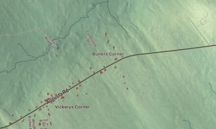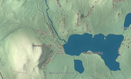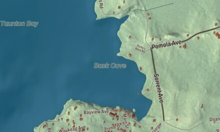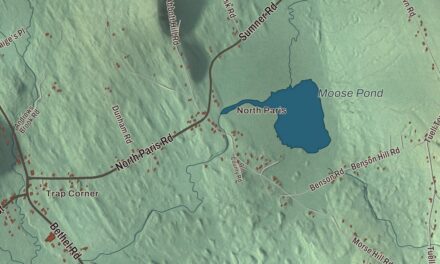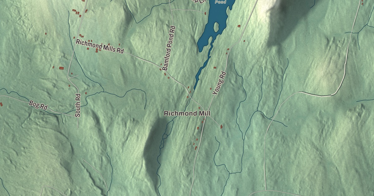
Echo Lake, Lovejoy Pond, David Pond and Tilton Pond give this Fayette map four places to look for before you turn to the roads. Richmond Mill and Twelve Corners are here too, with the town’s buildings and shaded ground around them. Click here to purchase a print of this map for your wall.
Fayette is a town in Kennebec County, in the Winthrop Lakes Region.
The ponds, neighborhoods and roads are brought together in an aerial view within Fayette’s town boundary. KNOWOL made this map in 2026 from public survey data, with the look of an old atlas. United States Geological Survey elevation data shades the terrain, and Census Bureau files provide the roads and town line. Fayette had 1,160 residents at the 2020 census.
Starling Plantation
Before it was Fayette, the settlement was called Starling Plantation, also written Sterling. Accounts place its beginnings in the late eighteenth century. The town was incorporated on February 28, 1795, and named for the Marquis de Lafayette, the French officer who supported the American Revolution.
The town’s older name survives in Starling Hall. Fayette’s official website lists community gatherings at the hall, including a congregate meal in September 2026. The town office is on Main Street, one of the road names you can find on the artwork.
A town of ponds
Fayette’s town history describes nine lakes and ponds within its boundaries. The Census Bureau measures 2.34 square miles of water in the town’s total area of 31.51 square miles. The ponds are part of Fayette’s recreational landscape.
Echo Lake, Lovejoy Pond, David Pond and Tilton Pond are printed by name. Sanderson Corners, Fayette Corner and North Fayette are printed too. Together with Richmond Mill and Twelve Corners, those names let you find the different parts of Fayette in the preview.
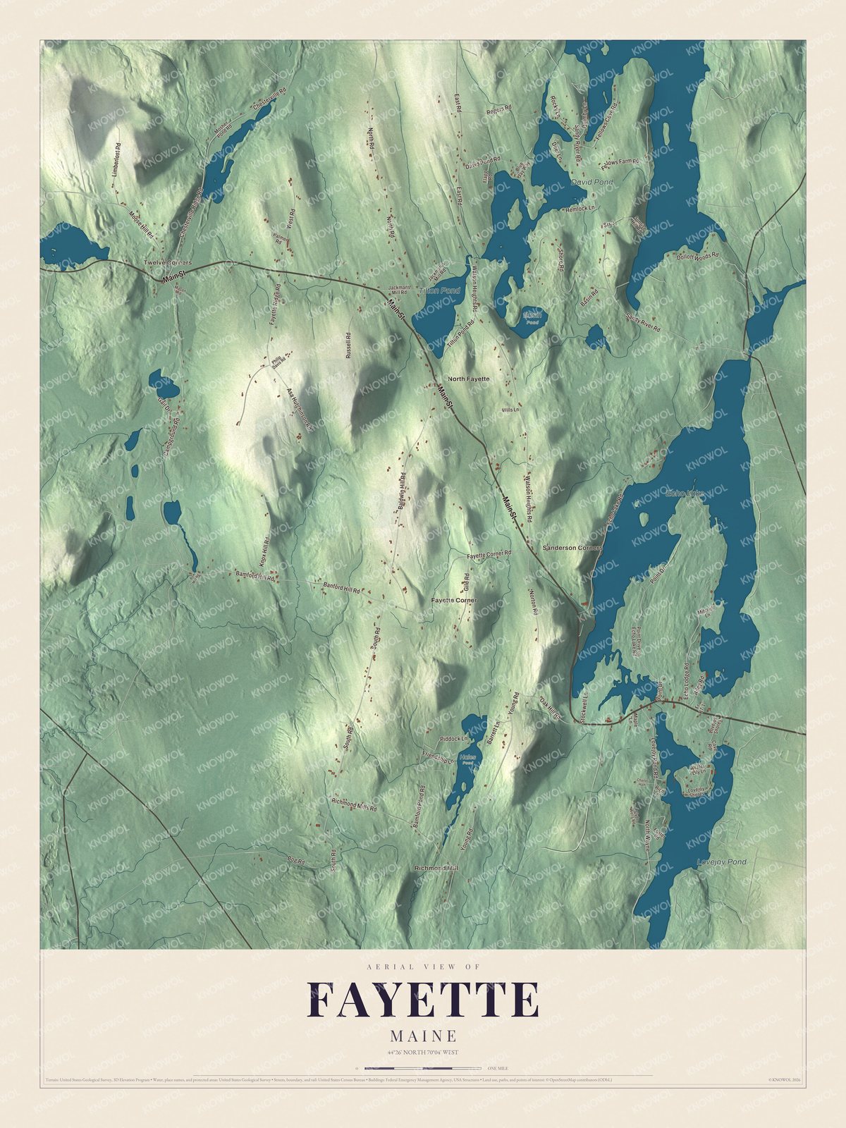
Click to explore a larger preview. The digital watermark does not appear on printed maps.
See it on a wall
The Fayette map as a framed print. Swipe for more.


Corners and roads
Main Street, Bamford Hill Road and Fayette Corner Road are printed, along with Young Road, Campground Road and Oak Hill Road. Look for Richmond Mill and Twelve Corners, then find Sanderson Corners, Fayette Corner and North Fayette. The smaller roads and building patterns are drawn as well.
The school in town is Fayette Central School, where children attend the elementary grades. The ponds and the roads offer another way to explore Fayette’s geography together. Use the larger preview to follow a familiar road or compare the shape of one pond with another.
For anyone who calls Fayette home, the map keeps the ponds and corners together as it looks today. It can be an addition to an office, library or den, or a way to teach children the geography and history of the area. Zoom in on the preview above to explore the details, then click here to get your copy of the Fayette, Maine map.

Sources