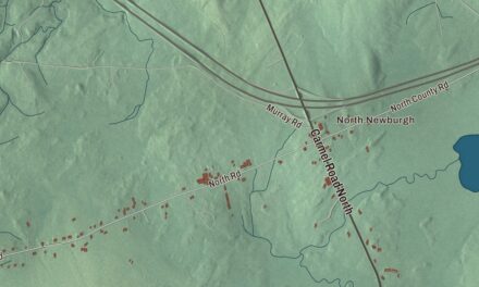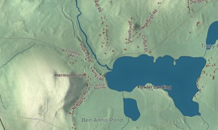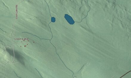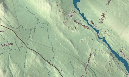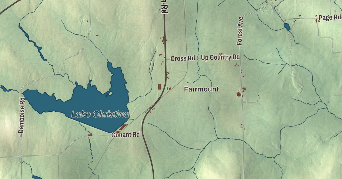
Fairmount and Goodrich are two names to find on this Fort Fairfield map, followed by Maple Grove and Stevensville. Main Street, Houlton Road and Presque Isle Street are printed among the town’s roads. Click here to purchase a print of this map for your wall.
Fort Fairfield is a town in Aroostook County, on Maine’s border with New Brunswick.
KNOWOL made this map in 2026 from public survey data and gave it the look of an old atlas. United States Geological Survey elevation data provides the shaded terrain; Census Bureau files supply the roads and town boundary. The aerial view includes buildings, neighborhoods, ponds and waterways in a town with 3,322 people at the 2020 census.
A governor’s name
Fort Fairfield was incorporated in 1858 and bears the name of Maine governor John Fairfield. Potato and broccoli farming are part of its economy. The town also holds the State of Maine Potato Blossom Festival in July, a local celebration of the crop.
Another governor came from Fort Fairfield. John Hathaway Reed was born here in 1921, served in the state legislature and became governor in 1959. His public service later included the National Transportation Safety Board and appointments as United States ambassador to Sri Lanka and the Maldives.
The meeting house at Maple Grove
The Maple Grove Friends Church is a Quaker meeting house on Route 1A in southern Fort Fairfield. Quaker families began settling in the area in 1859, and the building went up in 1863. The tower and large stained-glass window were added during a 1906 renovation; the window honors William Penn Varney and Lydia Cook Varney, leaders of the meeting.
Oral histories from Quaker families identify the church as a possible Underground Railroad station. Its history describes evidence of a concealed hatch and hiding place beneath the floor, and says people escaping enslavement could continue toward Canada by Tomlinson Brook.
The building passed through other religious uses before Frontier Heritage acquired it in 1995. It was rededicated as a Quaker meeting house in 2000 and listed on the National Register of Historic Places that year. Maple Grove, the village that holds it, is a name you can find in the aerial view.
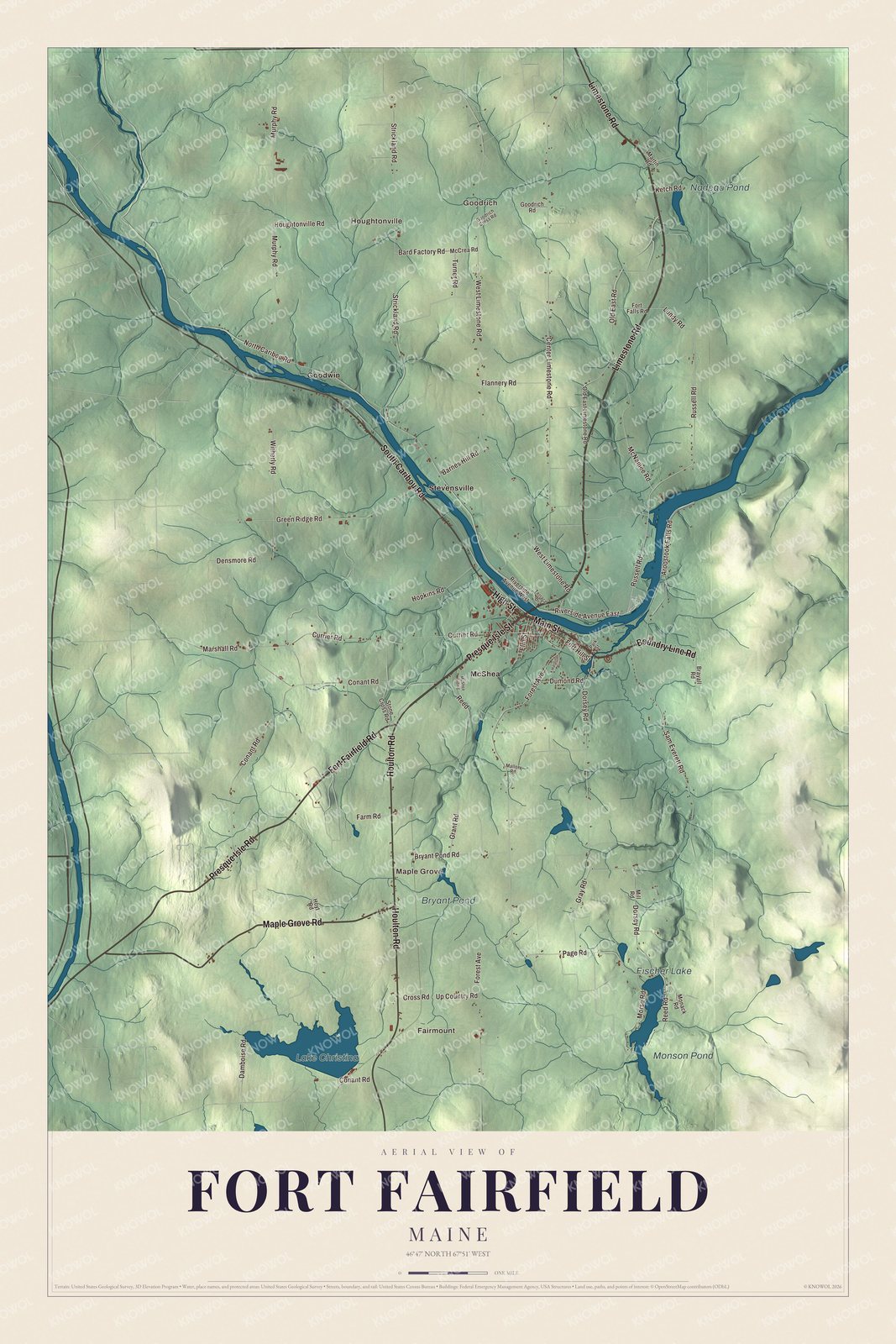
Click to explore a larger preview. The digital watermark does not appear on printed maps.
See it on a wall
The Fort Fairfield map as a framed print. Swipe for more.


Villages and ponds
Look for Fairmount and Goodrich, then Houghtonville, Maple Grove, Goodwin, McShea and Stevensville. Lake Christina, Monson Pond, Nadeau Pond and Bryant Pond are all printed by name. These are the artwork’s own spellings, with the surrounding buildings and smaller roads drawn in the same view.
Houlton Road, Presque Isle Street, Main Street, Limestone Road, Boundry Line Road and High Street are printed too. The Aroostook River and the international border are part of Fort Fairfield’s wider geography. The road and pond names give you a way to locate the part of town you know before exploring the rest.
This map is made for people who call Fort Fairfield home, with its villages, roads and ponds as it looks today. It can hang in an office, library or den and help teach children the geography and history of their town. Zoom in on the preview above to explore the details, then click here to get your copy of the Fort Fairfield, Maine map.

Sources