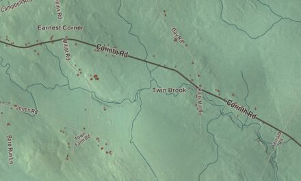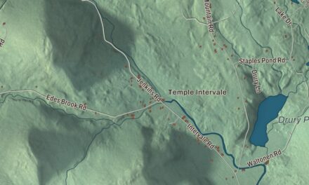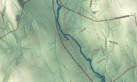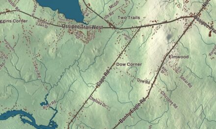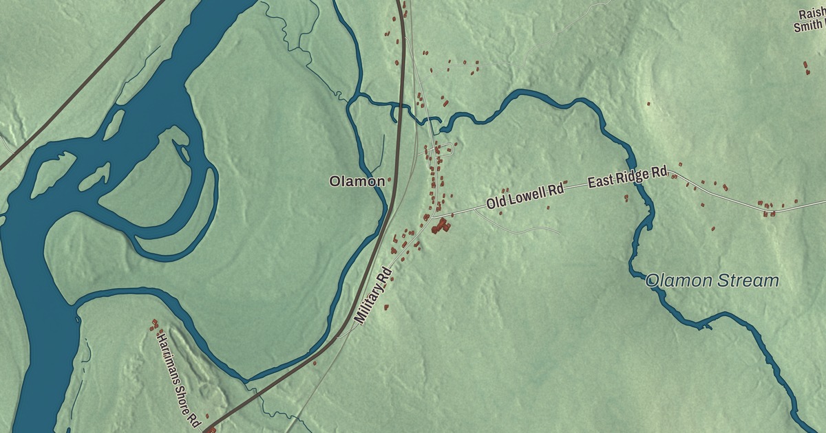
Olamon and Cardville are two names to find on the Greenbush map. Olamon Stream and Main Road give you more familiar starting points in the aerial view. Click here to purchase a print of this map for your wall.
Greenbush is a town in Penobscot County, on the Penobscot River.
KNOWOL made this map in 2026 from public survey records, combining modern geography with the look of a vintage atlas. United States Geological Survey elevation data shapes the terrain, and Census Bureau files supply the roads and municipal boundary. Buildings, ponds and waterways complete the aerial view.
A Penobscot River town
Greenbush was incorporated in 1834. The 2020 census counted 1,444 residents. The town stands on the Penobscot River. Olamon and Cardville supply more local names on the map.
The town covers 43.96 square miles of land and water, according to the Census Bureau figures in its profile. That municipal area takes in roads, buildings and waterways beyond any single village name. Greenbush remains a distinct town, with its boundary shown in this aerial view.
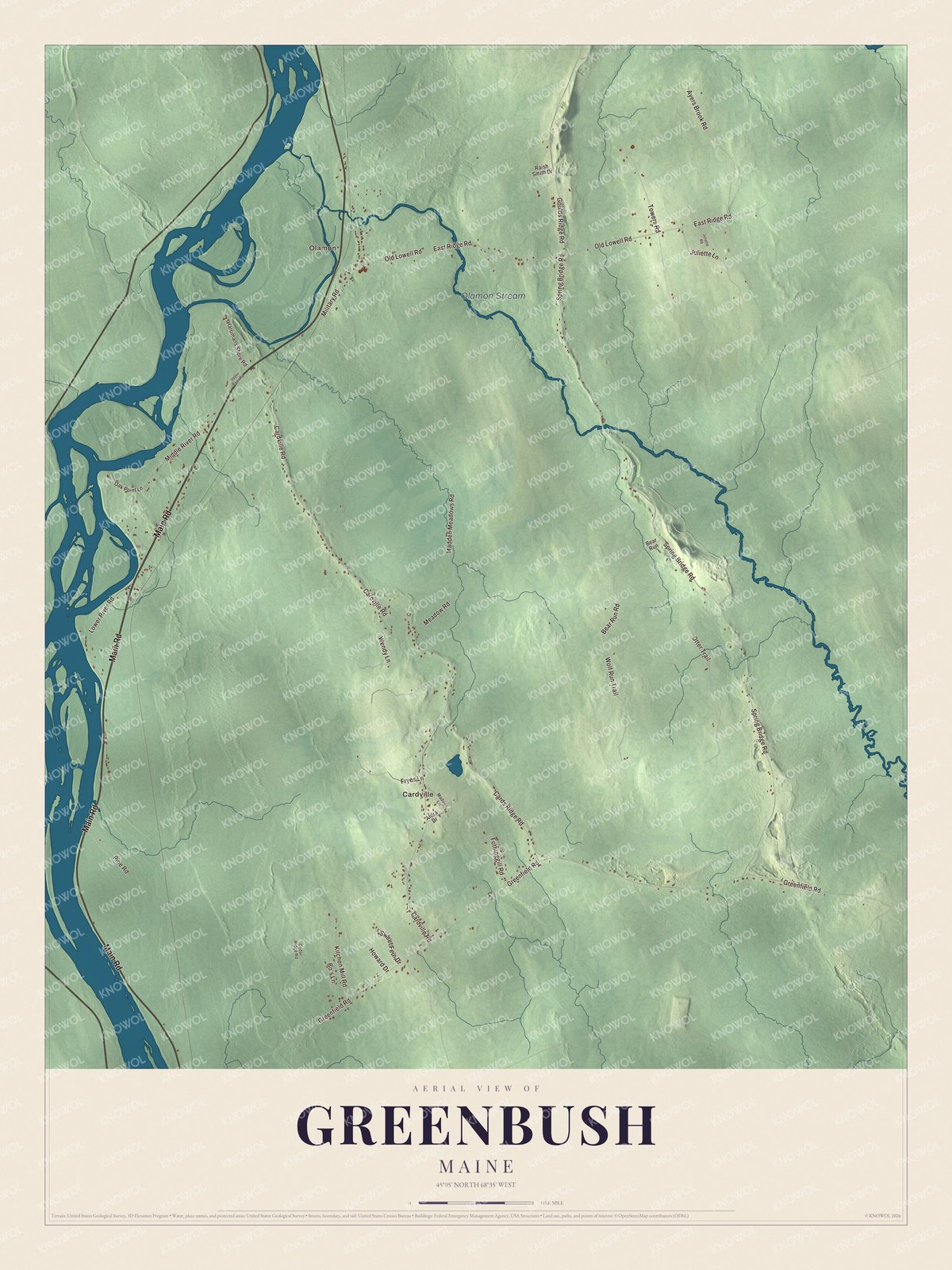
Click to explore a larger preview. The digital watermark does not appear on printed maps.
See it on a wall
The Greenbush map as a framed print. Swipe for more.


Exploring the Greenbush map
Start with Olamon and Cardville. Main Road, Old Lowell Road, Bear Run Road, Spring Bridge Road, Cardville Road and Greenfield Road all have printed names. Follow their shapes to explore the smaller roads and the way buildings are distributed across the town.
Olamon Stream has its own printed name on the artwork. Look from the waterway back to the road network and town boundary. The map brings those features together with the terrain as Greenbush looks today.
For people who call Greenbush home, the map brings familiar roads and places together as it looks today. Hang it in an office, library or den, or use it to teach children the geography and history of the area. Zoom in on the preview above to explore the details, then click here to get your copy of the Greenbush, Maine map.

Sources