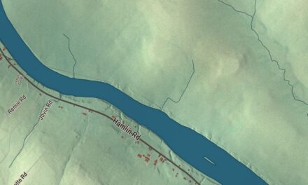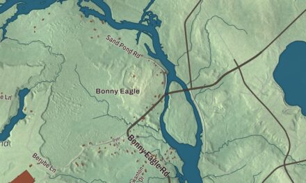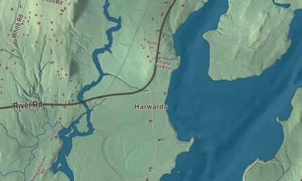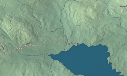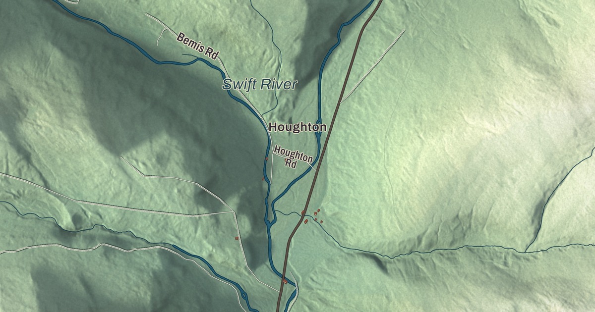
The Swift River and Swift River Road share the valley on this map of Byron, and Coos Canyon and the village of Houghton carry their names along them. Weld Road, East Branch Road, Easter Hill Road, Garland Pond Road and East Shore Drive are printed too, along with Little Ellis Pond. Click here to purchase a print of this map for your wall.
Byron is a town in Oxford County, with 103 people at the 2020 census.
KNOWOL made this map in 2026 from public survey data and gave it the look of an old atlas. The mountains are shaded from United States Geological Survey elevation data, and the roads and town line come from the Census Bureau, which counts 52.56 square miles in Byron and 0.75 of them water. The town lies on both sides of a narrow, uneven intervale in the Western Maine Mountains, with Roxbury to the south, Andover to the west and unorganized townships to the north and east.
Hop City
Byron began as Township No. 8. It dates to 1833, when it was incorporated on January 24 and named for the English poet Lord Byron. Farming was the main work, and the town picked up the nickname Hop City. Its farmers grew wheat, corn, potatoes and oats, and in winter the men went logging, with two sawmills running. In the late 1860s Austin Wheeler Taylor, a young minister from Byron, went south to teach people newly freed from slavery.
In 1896 the Rumford Falls and Rangeley Lakes Railroad was finished up the Swift River valley from Rumford, through Byron and Houghton to Mooselookmeguntic Lake. It carried freight, tourists and “rusticators,” and the line’s stops included Byron and Houghton. Once the nearby timberlands had been cut, traffic fell off, and the branch north of Rumford was taken up after the flood of 1936 damaged it.
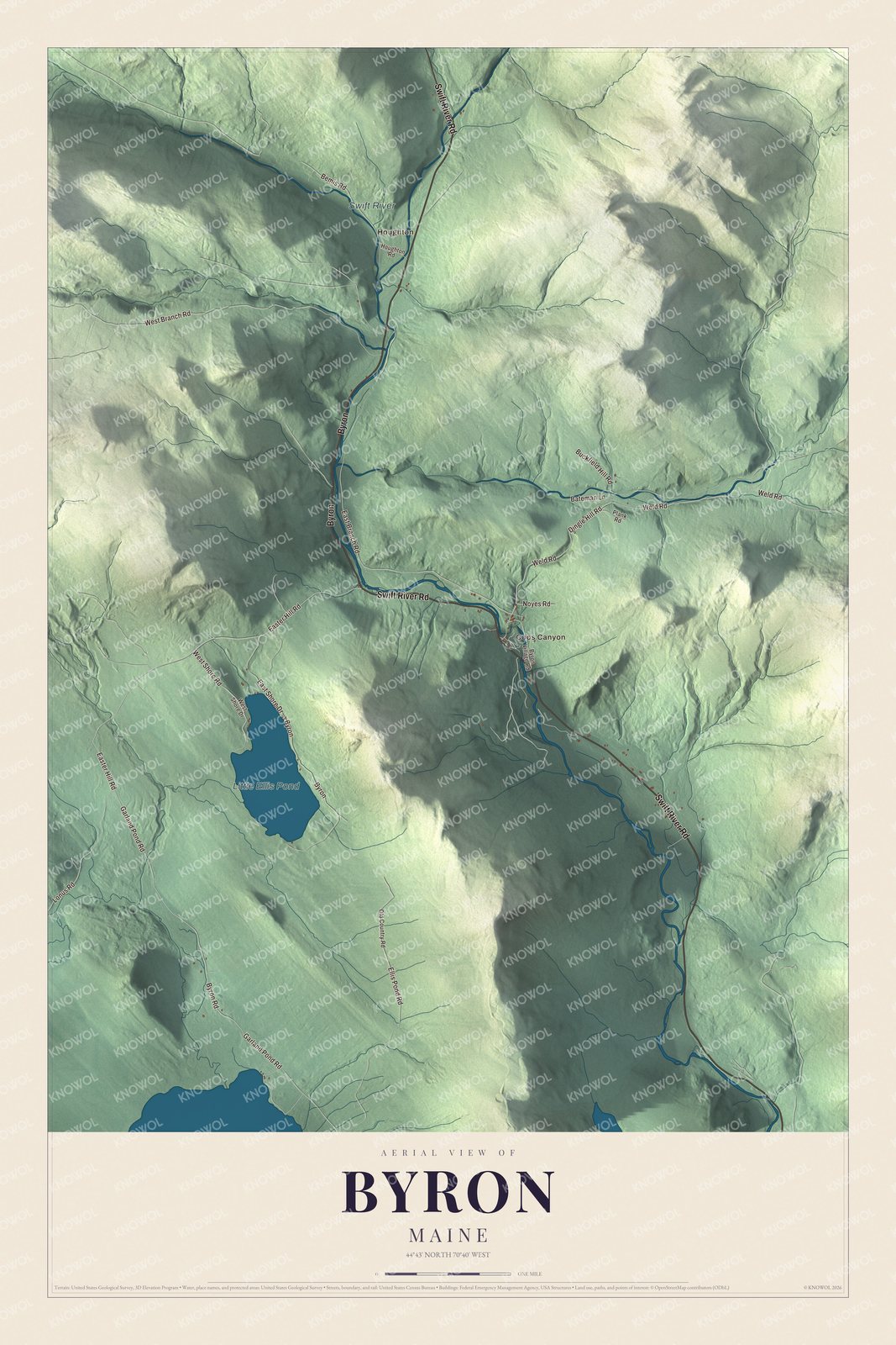
Click to explore a larger preview. The digital watermark does not appear on printed maps.
See it on a wall
The Byron map as a framed print. Swipe for more.


Coos Canyon and the Swift River
Coos Canyon and the Swift River are printed on the map. The canyon is a gorge 32 feet high where the water is sometimes more than 20 feet deep, and people come to swim there or to pan the river for gold. A little downstream is a small local beach called Toby’s Beach, and a 20-foot ledge draws daring jumpers in summer. There’s a camping area off State Route 17, across from the canyon. The Swift River itself runs 26.7 miles from Swift River Pond, southeast of the Rangeley Lakes, down through Byron, Roxbury and Mexico to the Androscoggin. Route 17 enters Oxford County at Byron and continues south through Roxbury.
Houghton is printed on the map. It’s the town’s other village, the next stop up the line from Byron in the railroad days. Swift River Road, Weld Road, East Branch Road, Easter Hill Road, Garland Pond Road and East Shore Drive are printed as well, and so is Little Ellis Pond. Ellis Pond, a 919-acre glacial lake also called Roxbury Pond, lies mostly in Roxbury and reaches partly into Byron.
This Byron map makes a handsome addition to an office, library or den, and it can teach children the geography and history of a small mountain town. It’s made for anyone who calls Byron home, from Houghton to Coos Canyon, as it looks today. Zoom in on the preview above to explore the details, then click here to get your copy of the Byron, Maine map.

Sources