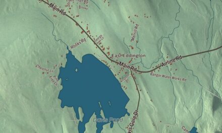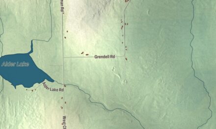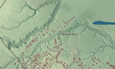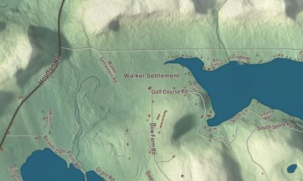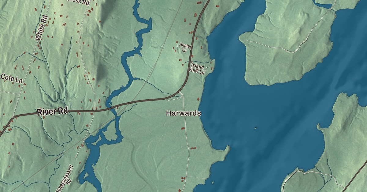
Bowdoinham grew up on the Cathance River near Merrymeeting Bay. This map of Bowdoinham prints its roads by name: Main Street, River Road, Back Hill Road, Bay Road, Post Road and Pond Road. It prints Harwards and the Abagadasset River too. Click here to purchase a print of this map for your wall.
Bowdoinham is a town in Sagadahoc County, home to 3,047 people at the 2020 census.
KNOWOL made this map in 2026 from public survey data and gave it the look of an old atlas. United States Geological Survey elevation data shades the land, and the Census Bureau supplies the roads and the town line around 39.20 square miles, 4.80 of them water. The town lies on the west side of Merrymeeting Bay, and the Cathance, Abagadasset, Muddy and Kennebec rivers drain it.
A town on Merrymeeting Bay
Fort Richmond was built upriver around 1720, and about the same time Captain Gyles Watkins became the first to settle at the mouth of the Cathance. War emptied the Kennebec country a few years later, and after Dummer’s Treaty of 1725, Abraham and Jonas Preble of York resettled it about 1730. Two old claims then tangled the land in court. Sir Ferdinando Gorges had granted it in 1637 to Sir Richard Edgcumbe of Mount Edgcumbe in Cornwall, but the Kennebec Company conveyed it in 1752 to William Bowdoin of Boston, and Bowdoin won when Edgcumbe’s grant was found obsolete and indefinite. On September 18, 1762, the Massachusetts General Court incorporated the town as Bowdoinham, named for him. It first included Richmond, which was set off in 1823, and the plantation of West Bowdoinham, which became the town of Bowdoin in 1788.
Farmers raised sheep and grew apples, wheat, hay and potatoes, and shipbuilders launched their first vessel here in 1768 and their last of any size in 1912. By 1886 the town had three sawmills, a gristmill, a plaster mill, two clothing factories, a cheese factory and about a dozen ice companies. Cathance Landing, once lined with wharves for shipping lumber, became the business center called Bowdoinham Village. Merrymeeting Bay is unusual water: its page calls it a large freshwater tidal bay, fed by six rivers that drain nearly 40 percent of Maine, and says its concentration of waterfowl on the East Coast is second only to Chesapeake Bay’s. The Abenaki name Quabacook, recorded for the bay, means “duck watering place.”
Two men born in Bowdoinham left lasting names. Gardner Colby, born here in 1810, became a textile and railroad businessman, and Colby College in Waterville carries his name after his $50,000 gift in 1865. Robert Browne Hall, born here in 1858, was a cornetist and a leading composer of marches for wind bands. His “Tenth Regiment March” is a brass band staple in Britain under the title “Death or Glory,” the trio of his “New Colonial March” became Stanford University’s fight song, and Maine marks the last Saturday in June as Robert Browne Hall Day.
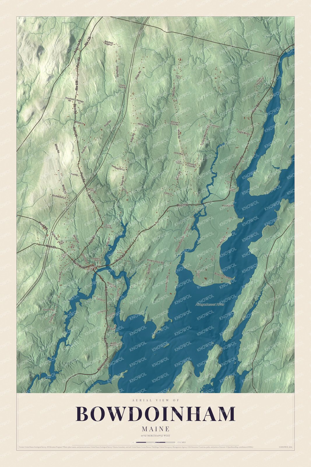
Click to explore a larger preview. The digital watermark does not appear on printed maps.
See it on a wall
The Bowdoinham map as a framed print. Swipe for more.


Main Street and River Road
Main Street is printed on the map. It carries State Route 125, and three of its houses are on the National Register of Historic Places. At number 35, the Robert P. Carr House, built about 1870, is a high-style Italianate house for Robert Potter Carr, who ran the country store his father founded, served many years in the legislature and is believed to have been one of the first in town to harvest ice on a commercial scale. Next door at number 33 is the Viola Coombs House of about 1910, designed by Harry S. Coombs of Lewiston for Viola V. Coombs, a Bowdoinham native. At 87 Main Street, just west of the village center, the Cornish House of 1885 is a late Italianate house with gingerbread trim, probably designed by George Curtis of Bowdoin.
River Road is printed too. It carries State Route 24, and at 18 River Road, in the village center, the Butterfield-Sampson House joins a Federal house of about the 1810s to a Stick style front of about 1890. Its page says the newer part closely matches a plate in Palliser’s Model Homes of 1878, a rare mail-order design in Maine.
Harwards is printed as well. The name is shared with the Harward family. Thomas Harward, a Bowdoinham native, built his first ship about 1790 on Swan Island, and about 1795 he built the family house on Pork Point Road, where he raised thirteen children. His son John ran the shipyard at its height in the 1850s, and it closed in 1869. The Abagadasset River is printed on the map. It runs 16 miles from just south of Gardiner into Merrymeeting Bay. Back Hill Road, Bay Road, Post Road and Pond Road are printed on the map too.
This Bowdoinham map makes a handsome addition to an office, library or den, and it can teach children the geography and history of a river town on the bay. It’s made for anyone who calls Bowdoinham home, from Harwards to Main Street, as it looks today. Zoom in on the preview above to explore the details, then click here to get your copy of the Bowdoinham, Maine map.

Sources
- Bowdoinham, Maine, Wikipedia
- Fort Richmond (Maine), Wikipedia
- Merrymeeting Bay, Wikipedia
- Gardner Colby, Wikipedia
- Robert Browne Hall, Wikipedia
- Robert P. Carr House, Wikipedia
- Viola Coombs House, Wikipedia
- Cornish House (Bowdoinham, Maine), Wikipedia
- Butterfield-Sampson House, Wikipedia
- Harward Family House, Wikipedia
- Abagadasset River, Wikipedia