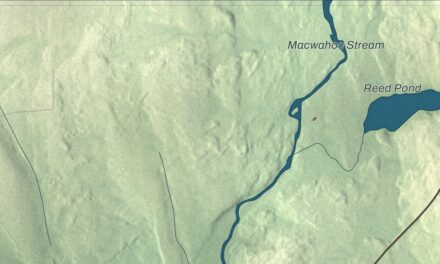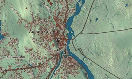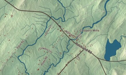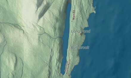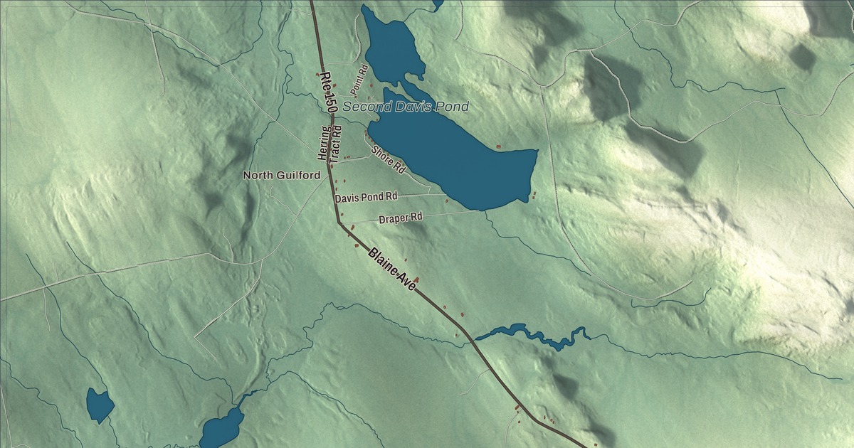
North Guilford and Guilford Center give you two places to begin on the Guilford map. Water Street, Main Street and the named ponds help you explore the town from there. Click here to purchase a print of this map for your wall.
Guilford is a town in Piscataquis County, on the Piscataquis River.
KNOWOL made this map in 2026 from public survey records, with modern geography and the look of a vintage atlas. United States Geological Survey elevation data gives the terrain its shading. Census Bureau files supply the roads and municipal boundary, with buildings and water features brought together in the aerial view.
Land from Bowdoin College
Robert Low and Robert Herring purchased land in the area from Bowdoin College in 1803. Settlement followed in 1806, and Guilford incorporated in 1816. Its population was 1,267 at the 2020 census.
Making products for medical work
Guilford is the home of Puritan Medical Products, a manufacturer of swabs and specimen-collection supplies. The business began in Michigan in 1919 making mint-flavored toothpicks, then moved to Maine in 1920. Its products later included tongue depressors and wooden applicators, with a focus on medical supplies developing in the following decades.
Puritan received the Maine International Trade Center’s Innovator of the Year recognition in 2022. Its work extends beyond an ordinary wooden household product to tools used for collecting medical specimens. The company’s history adds a specific manufacturing story to the town on the river.
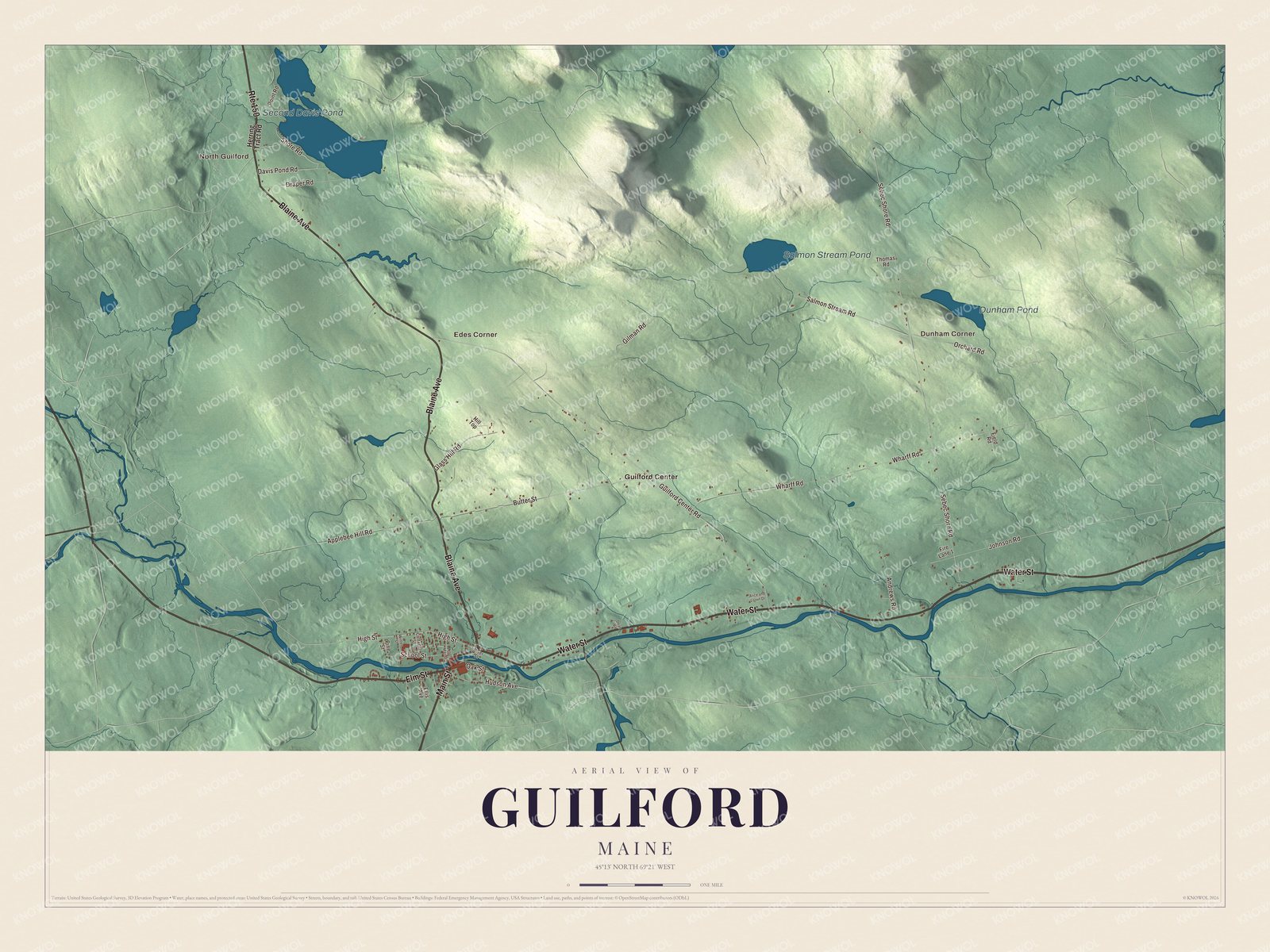
Click to explore a larger preview. The digital watermark does not appear on printed maps.
Names on this map
These names are printed on this map.
Places: North Guilford, Dunham Corner, Edes Corner, Second Davis Pond, Salmon Stream Pond, Dunham Pond and Guilford Center.
Streets and roads: Water Street, Main Street, Blaine Avenue, Route 150, Elm Street, High Street, Shore Road, Hudson Avenue, Salmon Stream Road, Sebec Shore Road, Guilford Center Road, Wharff Road.
More street names, A to Z
Alice and Lorrin Drive, Andrews Road, Applebee Hill Road, Butter Street, Cottage Street, Davis Pond Road, Dean Road, Draper Road, Ellis Avenue, Field Road, Fire Lane 1, Gilman Road, Glass Hill Road, Herring Tract Road, Hill Top, Johnson Road, North Main Street, Oak Street, Orchard Road, Pine Street, Point Road, River Street, School Street, Thomas Road, Winter Street.
See it on a wall
The Guilford map as a framed print. Swipe for more.


A closer look at Guilford
Look for North Guilford, Dunham Corner, Edes Corner and Guilford Center. Water Street, Main Street, Blaine Avenue, Elm Street, High Street and Shore Road are all printed by name.
Second Davis Pond, Salmon Stream Pond and Dunham Pond have printed names as well. The ponds, road network and building patterns fill in the aerial view within the municipal boundary. They give you places to return to while exploring different parts of Guilford.
For people who call Guilford home, the map brings familiar places together as it looks today. It can hang in an office, library or den, or help teach children the geography and history of the area. Zoom in on the preview above to explore the details, then click here to get your copy of the Guilford, Maine map.

Sources