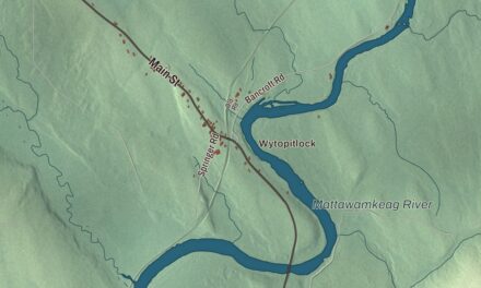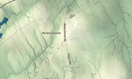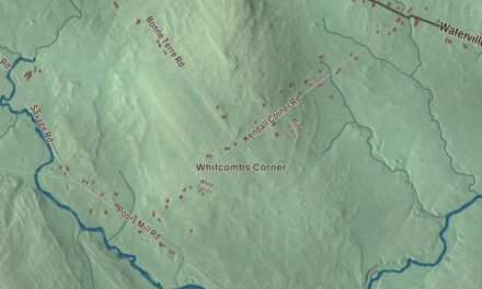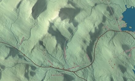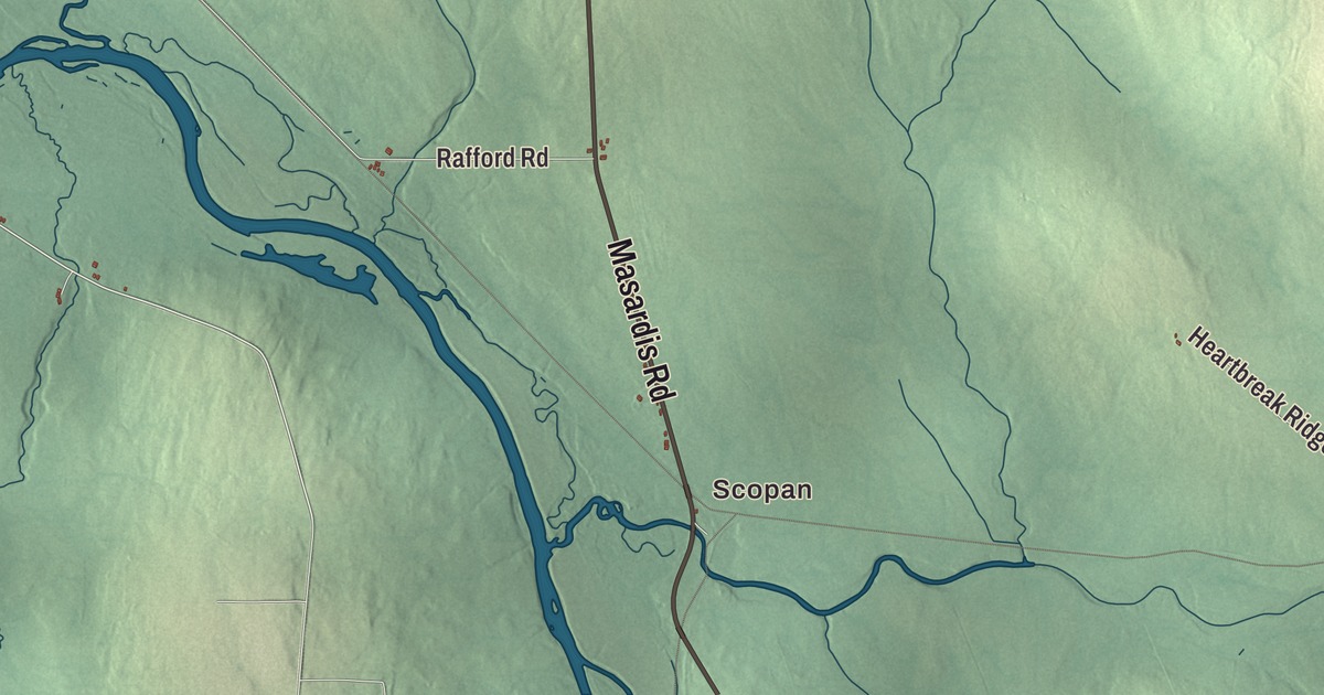
If you know Ashland, you know Station Street and Main Street, Presque Isle Road, Masardis Road, Portage Road and Frenchville Road. This map prints all six, with the Aroostook River and Mud Pond, Scopan, Sheridan and Frenchville. Click here to purchase a print of this map for your wall.
Ashland is in Aroostook County, and it had 1,202 people at the 2020 census.
KNOWOL made this map in 2026 from public survey data and gave it the look of an old atlas. The shaded terrain comes from United States Geological Survey elevation data, and the roads and the town line come from the Census Bureau, which counts 81.54 square miles here, 80.41 of them land. Around Ashland lie Masardis, Oxbow Plantation, Portage, Nashville Plantation and Garfield Plantation. The main village sits along the Aroostook River near the middle of town, where state routes 11, 227 and 163 meet.
Ashland, then Dalton, then Ashland again
William Dalton came in the 1830s, and the town page calls him the first American to make his home where the town would grow. By 1840 the settlement was organized as a plantation with 40 heads of household, and in 1862 it was incorporated as the town of Ashland. From 1869 to 1876 it went by Dalton, and then it took Ashland back. The town lay on the 19th-century stage route from Patten to Fort Kent.
Augusta Kalloch Christie was born in Ashland in 1887 and began her working life teaching in rural schools around the town. Elected to the Maine House in 1952 and to the Maine Senate in 1961, she was the first woman to serve in both. When the military base at Presque Isle closed in 1961, she helped pass the law that set up what is now Northern Maine Community College on part of its land, and the college named a building for her.
Logging was the main work of the 19th century, and the lumber industry here peaked about 1915, though some of it goes on today. The railroad came in 1896, when the Bangor and Aroostook ran a branch line up from Oakfield to Ashland, and in 1902 that Ashland Branch was carried on north to Fort Kent.
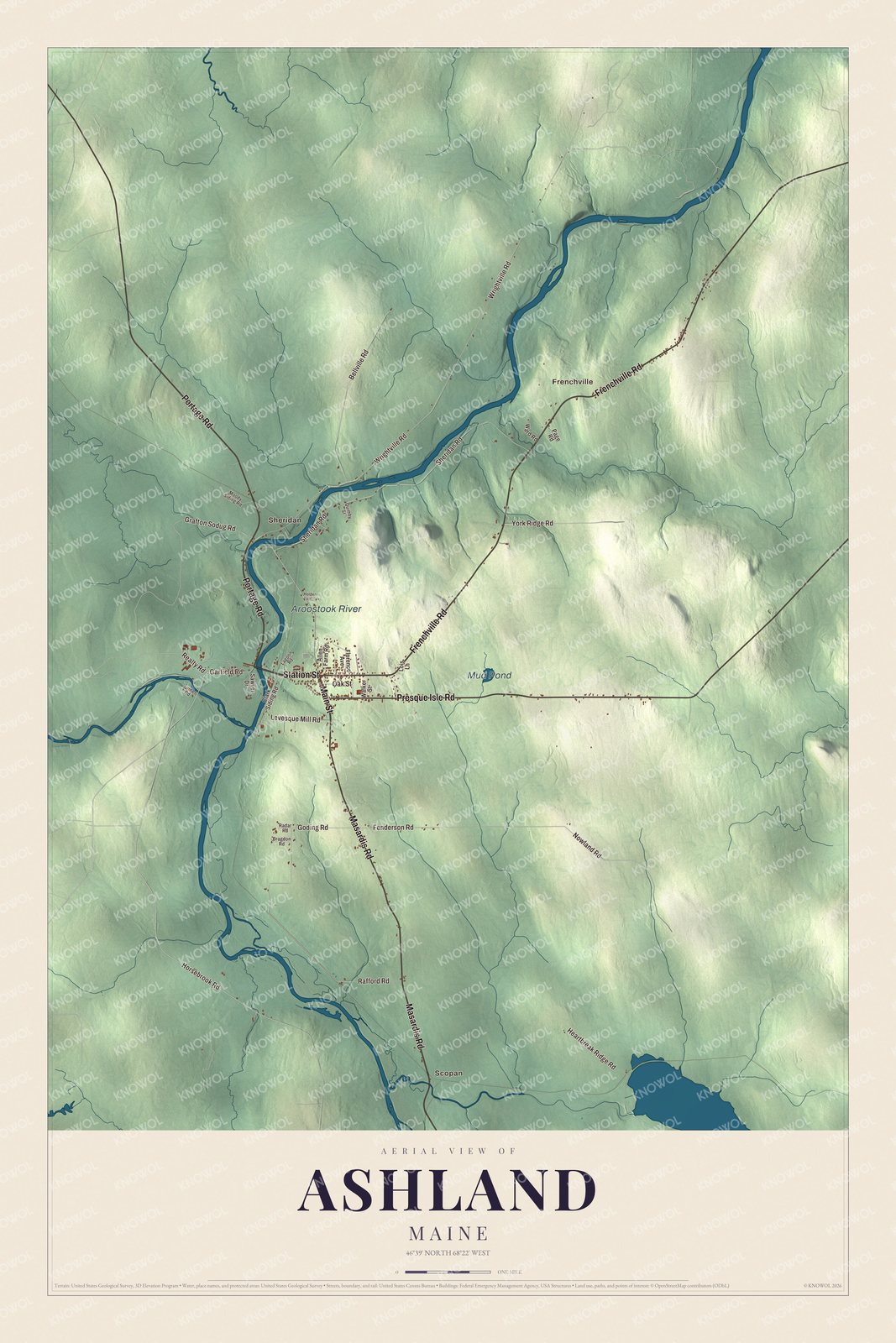
Click to explore a larger preview. The digital watermark does not appear on printed maps.
See it on a wall
The Ashland map as a framed print. Swipe for more.


The river and the corners of town
The Aroostook River is printed on the map, and it runs right through Ashland. It’s a 112-mile tributary of the Saint John River, and its basin is the largest that feeds the Saint John. Its page traces the name to the Wolastoqey word that Ganong translated as “good river for everything.” In the late 1830s the country it drains was the ground of the Aroostook War, the boundary dispute between the United States and Britain that the Webster-Ashburton Treaty settled in 1842.
Sheridan is printed on the map. It began as Sheridan Plantation, organized north of Ashland in 1878, and Ashland annexed it in 1901, which gave the town its present lines. Scopan is printed too. Scopan Lake is a V-shaped lake mostly in the township of the same name, and the north end of its western arm reaches into Ashland and Masardis. The lake took the name Scopan in 2011, and the Bangor and Aroostook crossed the northern tips of both of its arms. Frenchville and Frenchville Road are printed as well, along with Mud Pond.
The town’s schools came together in 2010, when the new Ashland District School opened for every grade from kindergarten through 12 next to the old high school. The building that had held Ashland Community High School for nearly 50 years was torn down that year to make room for athletic fields.
This Ashland map makes a handsome addition to an office, library or den, and it can teach children the geography and history of a logging town on the Aroostook. It’s made for anyone who calls Ashland home, from Sheridan to Masardis Road, as it looks today. Zoom in on the preview above to explore the details, then click here to get your copy of the Ashland, Maine map.

Sources