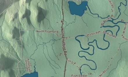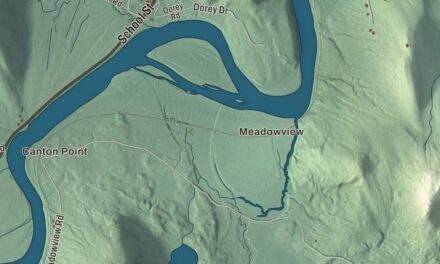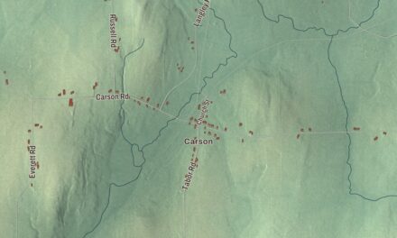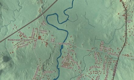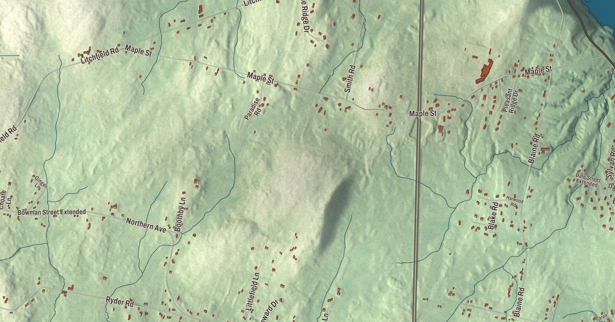
Maine Avenue is the place to begin exploring this Farmingdale map. Hayford Street and Park Street are printed too, with Vaughan Road and the roads farther inland. Click here to purchase a print of this map for your wall.
Farmingdale is a town in Kennebec County, between Hallowell and Gardiner.
The aerial view brings Farmingdale’s buildings, roads and terrain together within its town boundary. KNOWOL made this map in 2026 from public survey data and gave it the look of an old atlas. United States Geological Survey elevation data shades the ground, while Census Bureau files supply the roads and boundary. The 2020 census counted 2,995 people here.
A new town on the Kennebec
Farmingdale became a town in 1852, bringing together land from South Hallowell, North Gardiner and East and West Gardiner. Much of its early business stood beside the Kennebec River. Shipyards, brickyards, pottery works and a glue factory were among the operations along the water.
Ice was another product sent far beyond town. The Knickerbocker and Marshall ice companies kept icehouses at Bowman’s Point and harvested river ice for sale around the world. Those industrial riverfront businesses belong to Farmingdale’s past. The town history describes a community with a developed riverbank and more open rural land behind it.
Peter Grant’s house
The Peter Grant House stands on Grant Street, near the Kennebec. Grant came from Berwick, moved to Gardiner in 1790, and bought land between Gardiner and Hallowell in 1800. He made his living in land and the merchant trade, and the surviving house was built for him in 1830.
Its river-facing front has four tall square columns beneath a triangular gable, the form of a Greek temple. The house stayed in Grant’s family until 1865 and was listed on the National Register of Historic Places in 1976. It tells a different part of the river’s commercial history from the mills, ships and icehouses.
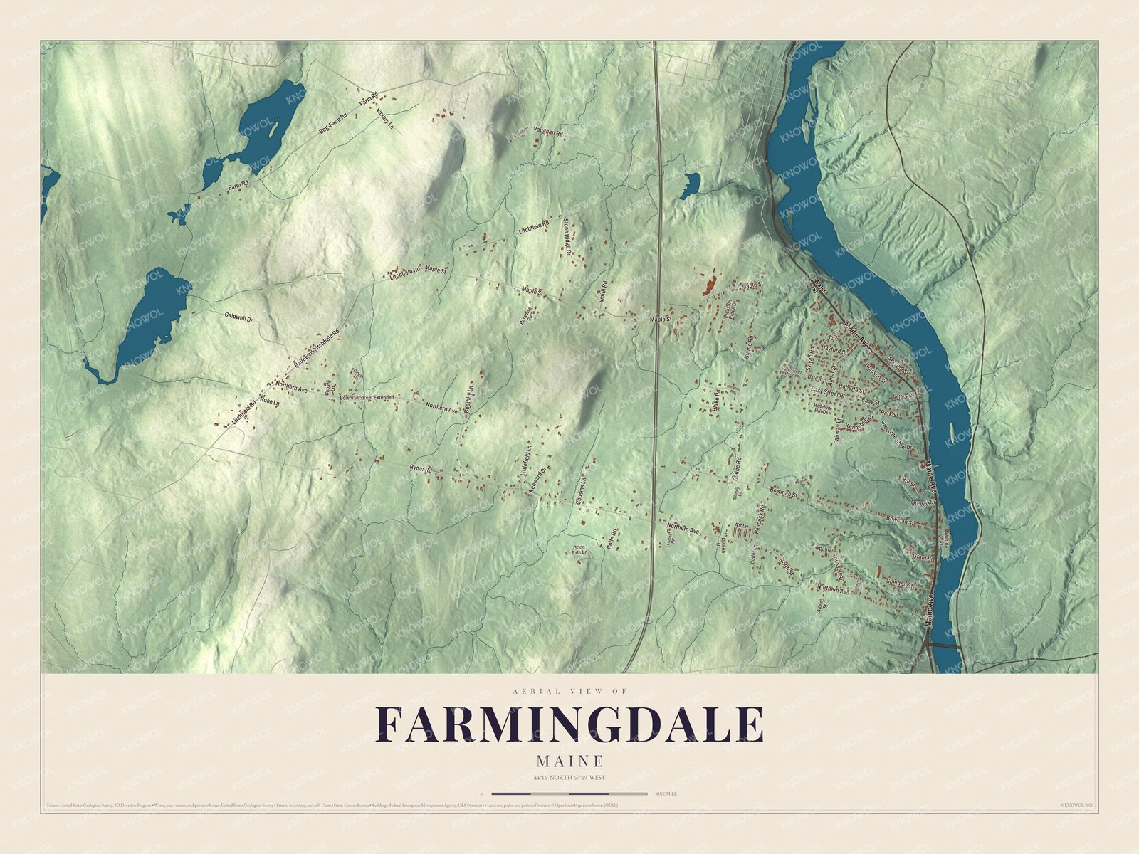
Click to explore a larger preview. The digital watermark does not appear on printed maps.
See it on a wall
The Farmingdale map as a framed print. Swipe for more.


Maine Avenue and the inland roads
Hayford Street, Park Street, Vaughan Road, Bog-Farm Road and Farm Road are printed by name on the map, together with Maine Avenue. The town’s other streets are drawn among the buildings and shaded terrain. Follow the names you recognize, then use the preview to look more closely at your own part of town.
The Kennebec forms Farmingdale’s eastern boundary, with Chelsea and Randolph across that side. Hallowell lies to the north and Gardiner to the south. Routes 201 and 27 follow the river side of town, while Interstate 95 crosses farther inland.
The Farmingdale map is made for people who call Farmingdale home and want to see the town as it looks today. In an office, library or den, it can also help teach children how the roads and river fit into the area’s history. Zoom in on the preview above to explore the details, then click here to get your copy of the Farmingdale, Maine map.

Sources