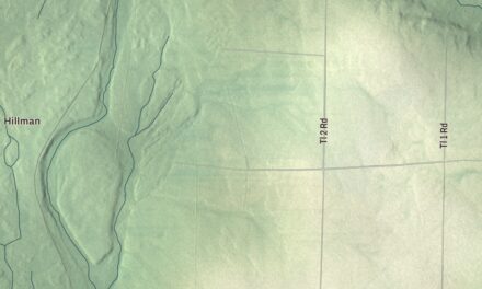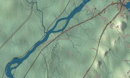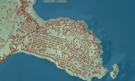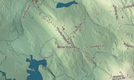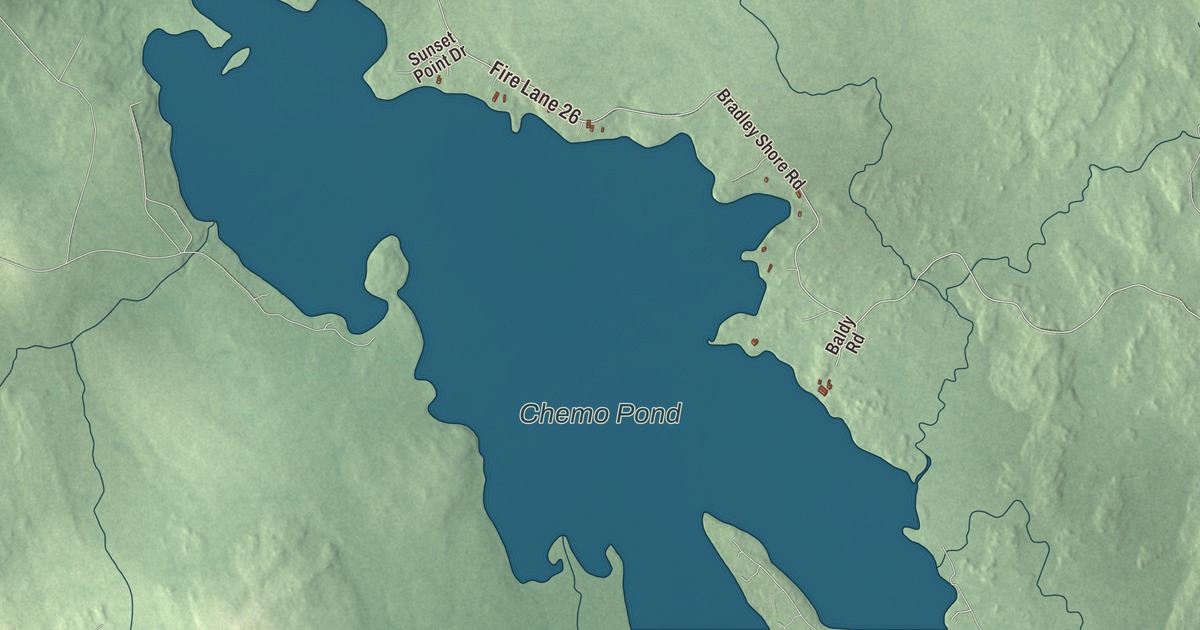
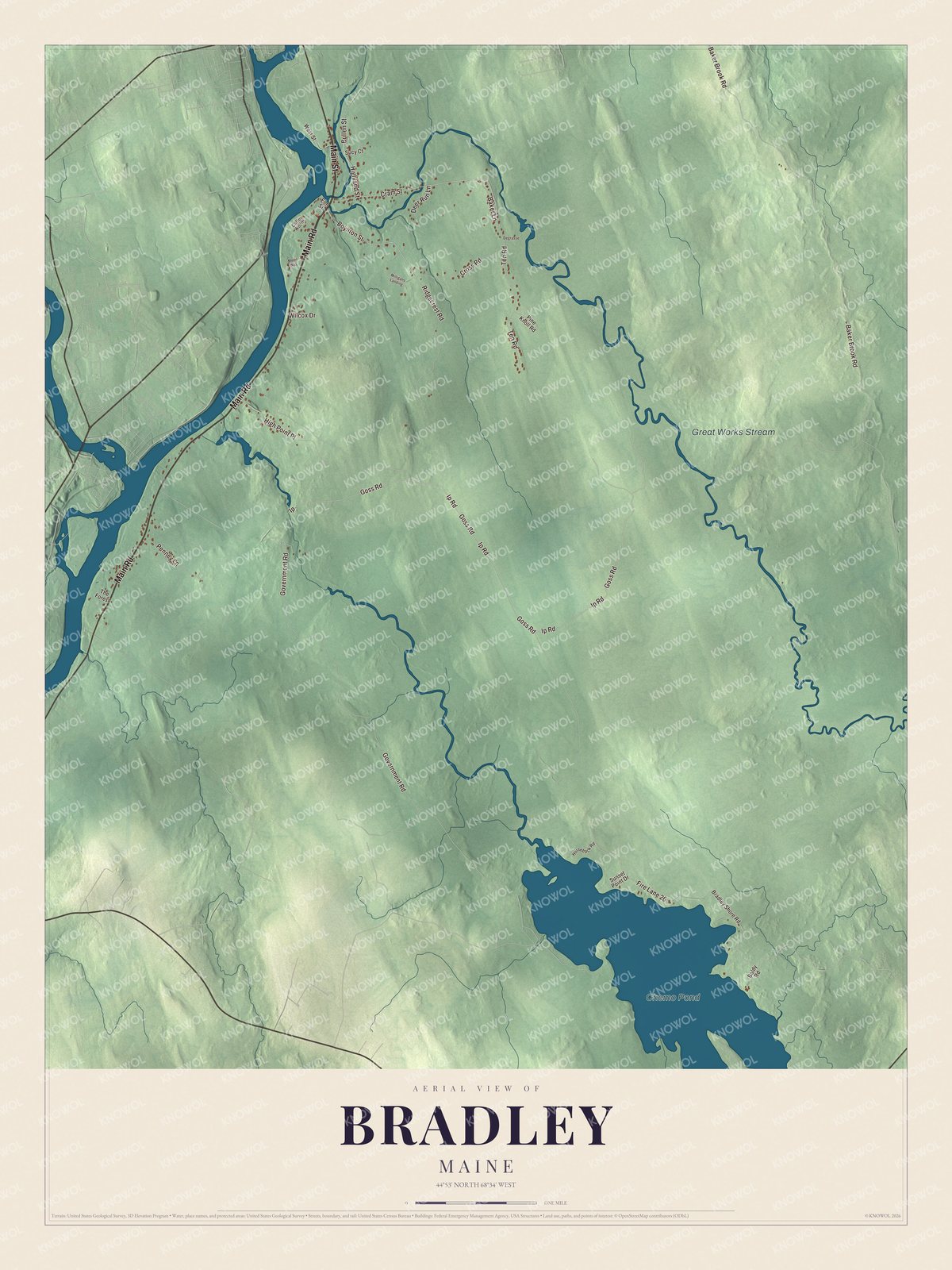
Main Road and Main Street lead the list on this map of Bradley, with Cram Street, Boynton Street, Government Road and Goss Road printed beside them. Chemo Pond and Great Works Stream carry their names too. Click here to purchase a print of this map for your wall.
Bradley is a town in Penobscot County, with 1,532 people at the 2020 census.
KNOWOL made this map in 2026 from public survey data and set it in the style of an old atlas. Its relief is shaded from United States Geological Survey elevation data, and its roads and town line come from the Census Bureau. By the bureau’s figures Bradley covers 50.65 square miles, 1.13 of them water.
A town of sawmills
Bradley was incorporated as a town in 1835, and lumbering and sawmilling were its main industries. The town took its name from Bradley Blackman, one of its early settlers. By the 1850s Bradley had 14 single-saw mills, three gang-saw mills that ran several blades at once, four clapboard mills, four lath mills and three shingle mills. In those years its only village was at Greatworks.
A dam called the Great Works Dam stood on the Penobscot River between Bradley and Old Town. The first Great Works Dam went up in the 1830s and was replaced between 1887 and 1900. Its owners came and went over the years, and in 2010 the Penobscot River Restoration Trust bought it. Taking it down began on June 11, 2012, as part of a project on four dams to bring eleven species of sea-run fish back to the river.
Leonard’s Mills
Bradley is also home to a museum of Maine logging. The Maine Forest and Logging Museum was founded in Bradley in 1960 to keep the history of forestry and logging in the state, and its centerpiece is Leonard’s Mills, a living history site set in the 1790s beside Blackman Stream. Its page says the site has the only working up-and-down sawmill in Maine powered by a water wheel. There’s also a blacksmith’s shop, a stone dam, a saw pit, a settler’s cottage, a trapper’s hut, a log cabin, a clapboard mill and a covered bridge. The museum restored a Lombard Steam Log Hauler from around 1907, a 20-ton steam engine that runs several times a year at museum events.
Click to explore a larger preview. The digital watermark does not appear on printed maps.
See it on a wall
The Bradley map as a framed print. Swipe for more.


The village and the roads
Main Road and Main Street are printed on the map, and so are Cram Street, Boynton Street, Government Road and Goss Road. The village of Bradley sits in the northwest corner of the town, with Milford to the north and the Penobscot River to the west, and Old Town and Orono across the water. Chemo Pond and Great Works Stream are printed as well.
Put this Bradley map on the wall of an office, library or den, or use it to teach children the geography and history of a Penobscot River town. It’s for everyone who calls Bradley home, from Main Street to Chemo Pond, as it looks today. Zoom in on the preview above to explore the details, then click here to get your copy of the Bradley, Maine map.

Sources
- Bradley, Maine, Wikipedia
- List of municipalities in Maine, Wikipedia
- An Act to incorporate the town of Bradley, Maine Private and Special Laws 1835
- An Act to incorporate the town of Bradley, Maine Private and Special Laws 1835
- Bradley (CDP), Maine, Wikipedia
- Great Works Dam, Wikipedia
- Maine Forest and Logging Museum, Wikipedia