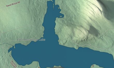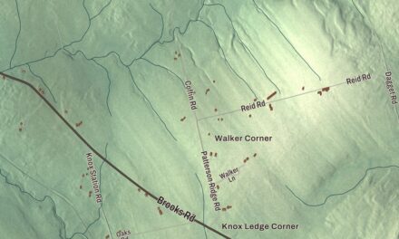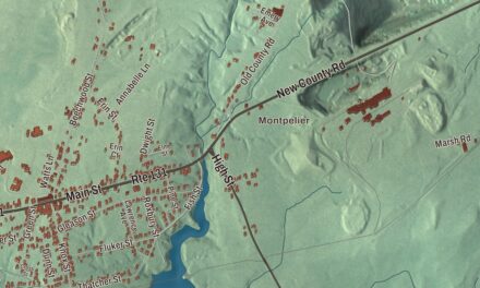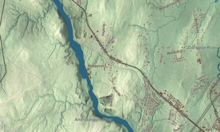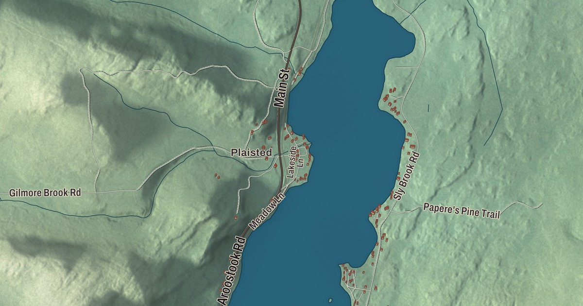
Main Street and Old Main Street are the first names to find on this map of Eagle Lake, Maine, and Plaisted is the other village to look for. Aroostook Road, Portage Road, Coury Lane and Soucy Lane fill in the rest, with the Fish River, Dickwood Lake and Isie Lake. Click here to purchase a print of this map for your wall.
Eagle Lake is a town in Aroostook County, with 772 people at the 2020 census.
KNOWOL made this map in 2026 from public survey data and gave it the look of an old atlas. The Census Bureau measures the town at 39.48 square miles, 2.12 of them water, and its files give the roads and the town line. United States Geological Survey elevation data shades the hills, and Eagle Lake has a listed elevation of 1,079 feet.
Named for the eagles
The town’s name goes back to the Aroostook War. It was named by a body of troops on their way from Bangor to that conflict, for the many eagles they saw around the lake. In French it’s Lac Aigle, and 49.0 percent of the people here speak French, part of a pattern across northeastern Maine. Eagle Lake was organized as a plantation in 1856 and incorporated as a town in 1911. The town has two villages, Eagle Lake and Plaisted.
A lake on the Fish River
Eagle Lake belongs to the Fish River chain of lakes, five lakes that make up an important recreation area in northern Maine. The lake runs south through the eastern part of town and then bends east in an L shape, and the Fish River comes into it at the bend. The chain’s water from Square Lake arrives through the Eagle Lake Thoroughfare, and Clark Brook, Gilmore Brook, Brown Brook, Devoe Brook and Pond Brook flow in from the town itself. The lake drains into the Fish River in the southeast corner of Wallagrass, 13 miles above the Saint John River. It holds rainbow smelt, brook trout, lake trout and landlocked salmon, and the whole eastern arm lies within a 23,000-acre reserve of public land open for camping, fishing, hiking, snowmobiling and more.
The Fish River itself runs 69.9 miles, from its source to Fish River Lake and Portage Lake, north through Saint Froid Lake and Eagle Lake, and on to the Saint John at Fort Kent, roughly alongside Route 11 on that last stretch. The Bangor and Aroostook Railroad’s route runs the same way, along the western shore of Eagle Lake through town and then down the Fish River into Fort Kent.
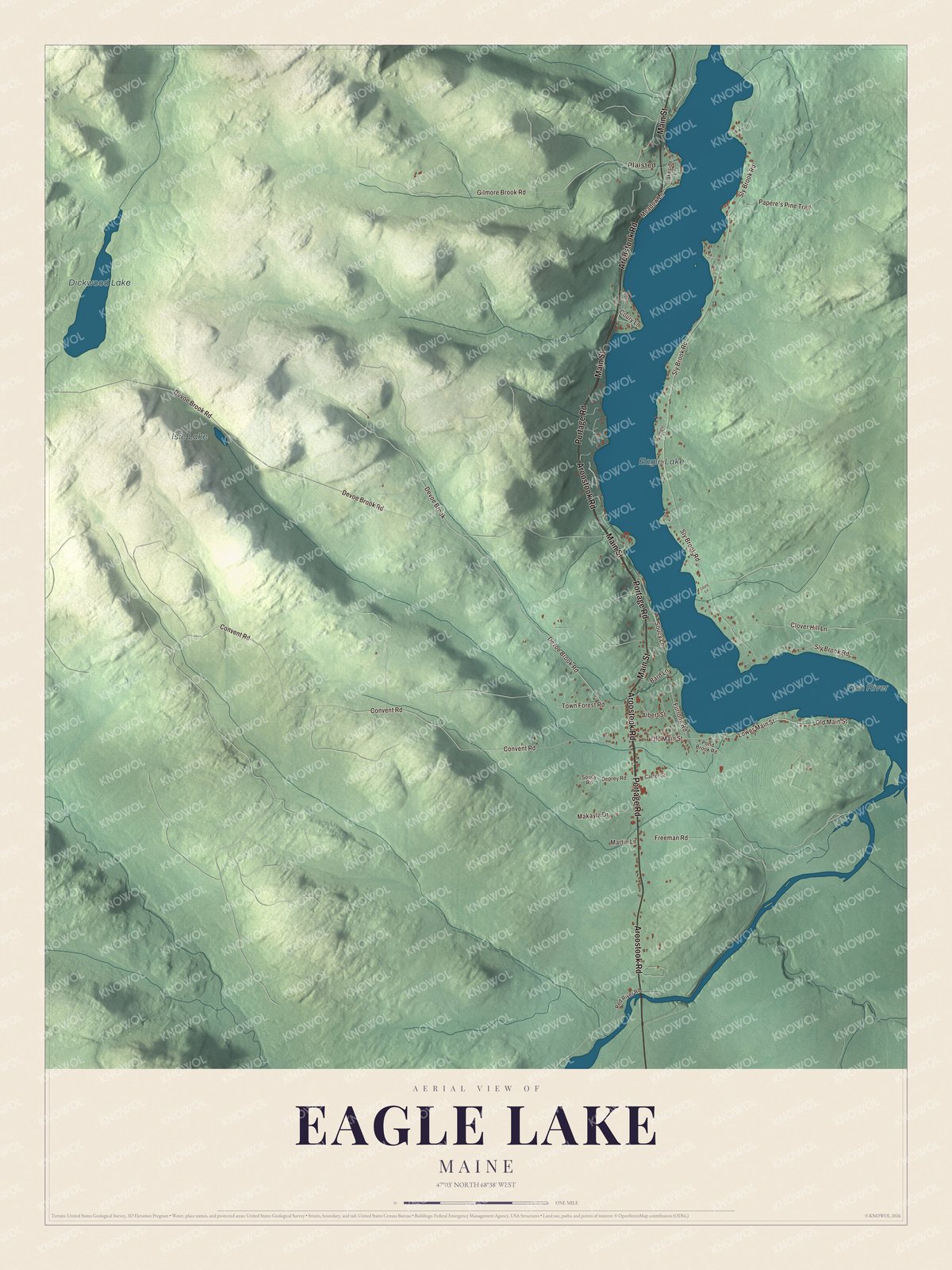
Click to explore a larger preview. The digital watermark does not appear on printed maps.
See it on a wall
The Eagle Lake map as a framed print. Swipe for more.


The Earl of Eagle Lake
John L. Martin was born in Eagle Lake in 1941 and first won a seat in the Maine House of Representatives in 1964. He served as Speaker of the House from 1975 to 1994, and his long career has earned him the nickname “The Earl of Eagle Lake.” With his election in 2014, his page says, he became the longest serving legislator in Maine history.
Around town
Main Street and Old Main Street are printed on the map, along with Aroostook Road, Portage Road, Coury Lane and Soucy Lane. Plaisted is printed too, and the Fish River, Dickwood Lake and Isie Lake are labeled on the map. The smaller roads are drawn in as well. Portage Road shares its name with Portage Lake, farther up the Fish River.
This Eagle Lake map makes a fine addition to an office, library or den, and it can help teach children the geography and history of the area. It’s made for everyone who calls Eagle Lake home, from Main Street to Plaisted, as it looks today. Zoom in on the preview above to explore the details, then click here to get your copy of the Eagle Lake, Maine map.

Sources
- Eagle Lake, Maine, Wikipedia
- List of municipalities in Maine, Wikipedia
- Maine Legislature joint resolution HP0934 (125th Legislature), recognizing the 100th anniversary of the Town of Eagle Lake
- Maine Legislature joint resolution HP0934 (125th Legislature), recognizing the 100th anniversary of the Town of Eagle Lake
- Fish River chain of lakes, Wikipedia
- Fish River (Maine), Wikipedia
- John L. Martin, Wikipedia