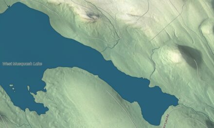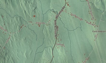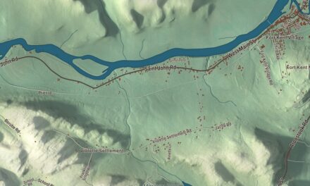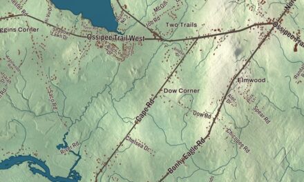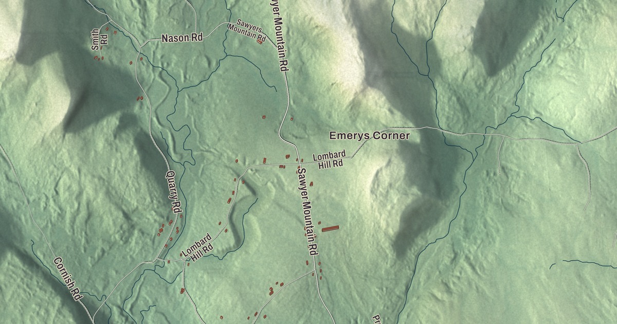
Emerys Corner, Perrys Corner and Sokokis Lake are places to pick out on this Limerick map. Follow Sokokis Trail or Main Street, then look over the town’s buildings and roads. Click here to purchase a print of this map for your wall.
Limerick is a town in York County.
KNOWOL made this map in 2026 from public survey records, United States Geological Survey elevation data and Census Bureau files. Its atlas layout brings together Limerick’s streets, buildings, neighborhoods, ponds and waterways, and terrain, the town boundary and the pattern of buildings.
An Irish name and a blanket mill
James Sullivan helped settle Limerick Plantation in 1775. Its name came from Limerick in Ireland, his father’s birthplace. The Maine town incorporated in 1787.
The village grew along the Sokokis Trail, connecting the inland Abenaki settlement at Pequawket with coastal encampments near present-day Saco. Farming, furniture making, tanneries and mills were part of the town’s economy.
James Bradbury established the Limerick Manufacturing Company at Brown Brook in 1846. Joshua Holland bought it in 1857, and its Holland Blankets supplied troops during the Civil War.
Anne Carroll Moore
Anne Carroll Moore was born in Limerick and attended Limerick Academy. She later trained as a librarian at Pratt Institute in Brooklyn and organized a children’s room there.
From 1906 to 1941, Moore headed children’s services at the New York Public Library. She developed staff training, organized story times and advocated welcoming library spaces for children. Her book Nicholas: A Manhattan Christmas Story was a runner-up for the 1925 Newbery Medal.
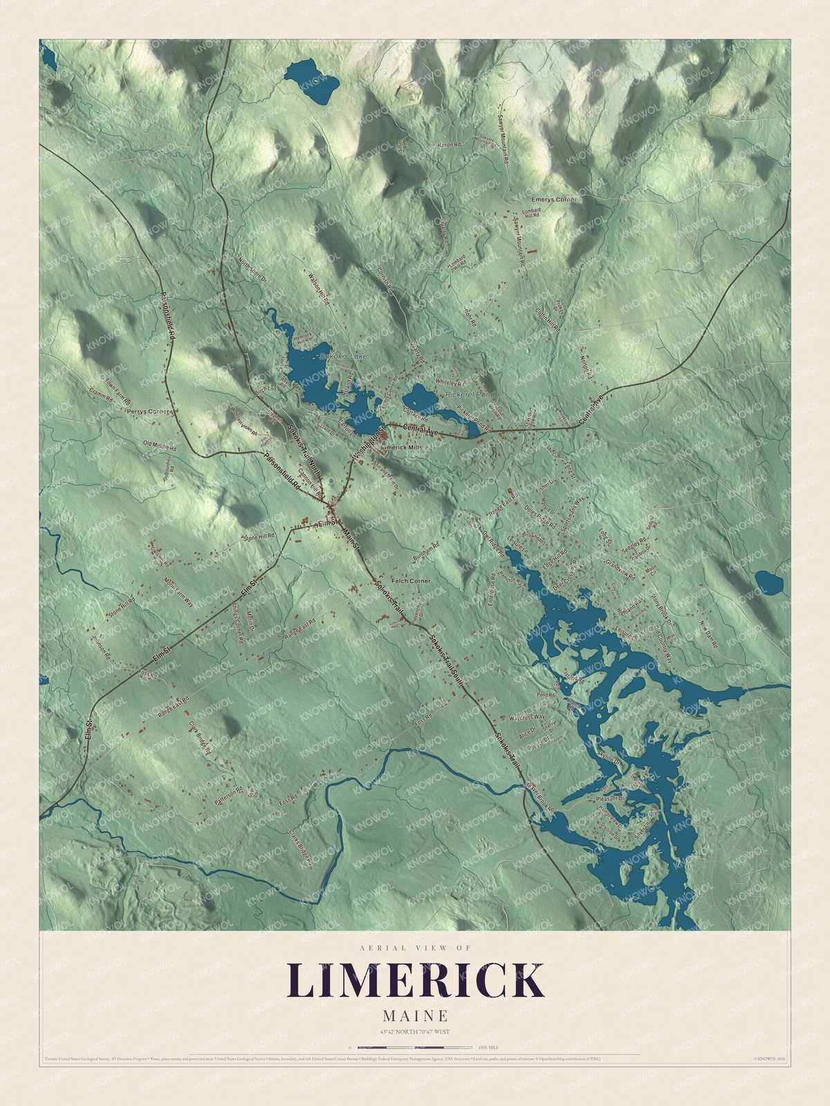
Click to explore a larger preview. The digital watermark does not appear on printed maps.
See it on a wall
The Limerick map as a framed print. Swipe for more.


Explore the Limerick map
Emerys Corner and Perrys Corner are printed names, along with Felch Corner and Limerick Mills. Sokokis Lake and Pickerel Pond are labeled on the map.
Sokokis Trail, Central Avenue and Washington Street are printed roads. Main Street, Parsonsfield Road and Elm Street offer more road names to find in the preview.
This map shows Limerick as it looks today, made for people who call Limerick home. Hang it in your office, library, or den, or use it to teach children the geography and history of the area. Zoom in on the preview above to explore the details, then click here to get your copy of the Limerick, Maine map.

Sources