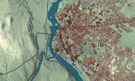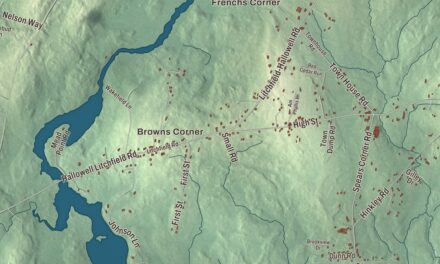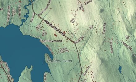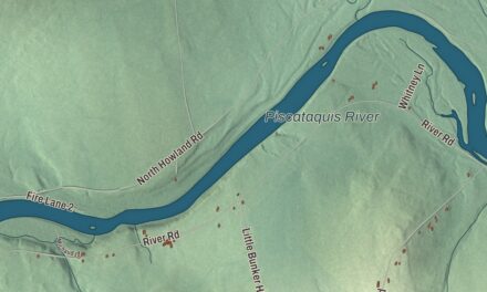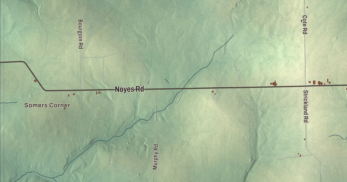
Somers Corner and Brown Corner are starting points for exploring Limestone in this aerial view. Look for Main Street and Durepo Pond, then find the roads and buildings you remember. Click here to purchase a print of this map for your wall.
Limestone is a town in Aroostook County.
KNOWOL made this map in 2026 from public survey records, United States Geological Survey elevation data and Census Bureau files. Its atlas layout brings together Limestone’s streets, buildings, neighborhoods, ponds and waterways, and terrain, the town boundary and the pattern of buildings.
A town and an air base
Limestone takes its name from regional limestone deposits. It was incorporated on March 17, 1869.
Construction of the airfield that became Loring Air Force Base began in 1947. The base was named for Major Charles J. Loring Jr. in 1954 and closed in September 1994. Its site was redeveloped as the Loring Commerce Centre, an industrial and aviation park.
A school for science and mathematics
The Maine School of Science and Mathematics opened in 1995 as a public residential high school. It used the Limestone High School site in town, with the former elementary school converted to dormitories.
The school draws students from across Maine and beyond. Its focus is mathematics and science, with students living on campus.
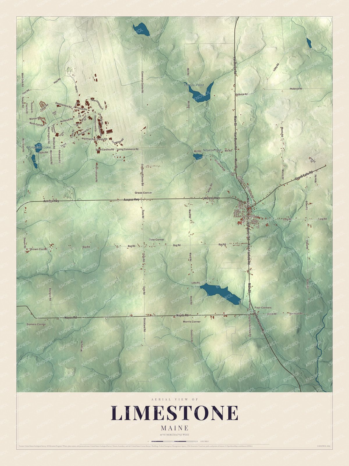
Click to explore a larger preview. The digital watermark does not appear on printed maps.
See it on a wall
The Limestone map as a framed print. Swipe for more.


Explore the Limestone map
Somers Corner and Brown Corner are printed names, along with Four Corners, Morris Corner, Cote Corner and Grass Corner. Durepo Pond, Malabeam Lake and Noyes Pond are labeled too.
East Limestone Road, Fort Fairfield Road and Van Buren Road are printed roads. Main Street, Noyes Road and Access Highway give you more names to find in the preview.
This map shows Limestone as it looks today, made for people who call Limestone home. Hang it in your office, library, or den, or use it to teach children the geography and history of the area. Zoom in on the preview above to explore the details, then click here to get your copy of the Limestone, Maine map.

Sources