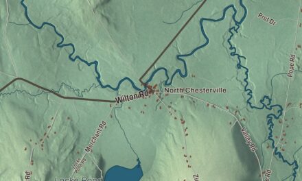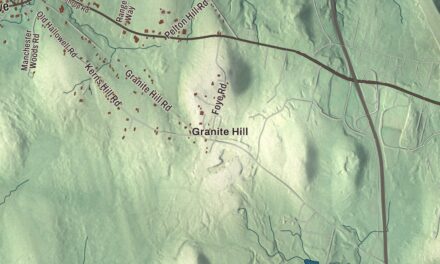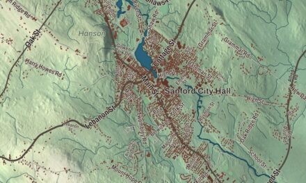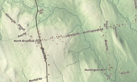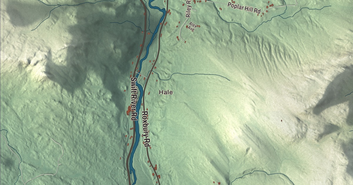
Main Street, Swift River Road and the Androscoggin River frame daily life in Mexico, and this map shows them with Ridlonville to the east. Click here to purchase a print of this map for your wall.
Mexico is a town in Oxford County.
KNOWOL made this map in 2026 from public survey records, United States Geological Survey elevation data and Census Bureau files. Its atlas layout brings together Mexico’s roads, buildings, ponds and waterways, and terrain, the town boundary and the pattern of buildings.
A name chosen in sympathy
Mexico’s land was once part of Holmanstown Plantation, granted by the Massachusetts General Court in 1789 to Colonel Jonathan Holman and others. Dixfield was set off in 1803, and the rest, first settled by Isaac Gleason, became the town of Mexico on February 13, 1818. Local sympathy for Mexico’s fight for independence from Spain inspired the name.
Known then as Mexico Corner, the town grew as a farming community with mills on its streams. In 1894 George W. Ridlon, president of the Rumford Falls Brick Company, founded Ridlonville in the eastern part of town and built 30 cottages and the Hotel Ridlon there.
Between two rivers
Mexico sits on hills above the Androscoggin River, which forms its southern boundary with Rumford. The Swift River empties into the Androscoggin at the town’s southwest corner, and in the 19th century Mexico’s business center grew up near that water power. Across the river, Rumford has a large paper mill.
Chummy Broomhall was born in Mexico and skied cross-country for the United States at the 1948 and 1952 Winter Olympics. He later designed the cross-country trails for the 1960 and 1980 Winter Olympics, and he was inducted into the National Ski Hall of Fame in 1981.
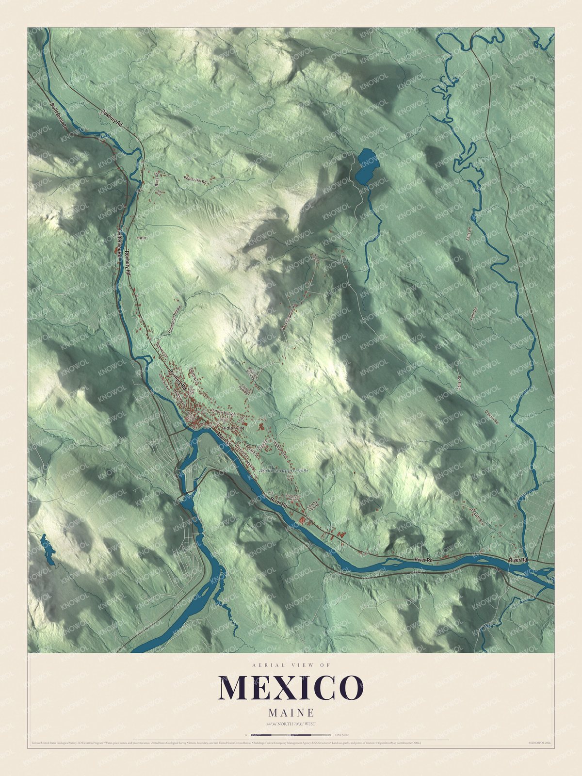
Click to explore a larger preview. The digital watermark does not appear on printed maps.
See it on a wall
The Mexico map as a framed print. Swipe for more.


Explore the Mexico map
Start with Hale, then follow Swift River Road, Main Street, River Road, Roxbury Road, Coburn Road and Backkingdom Road across town. Those are printed names, and Ridlonville is one more place to find.
The Androscoggin River is labeled along the southern edge. Compare the downtown blocks near the rivers with the hillside roads above them.
For people who call Mexico home, this map shows the town as it looks today. Put it in your office, library, or den, or use it to teach children the geography and history of the area. Zoom in on the preview above to explore the details, then click here to get your copy of the Mexico, Maine map.

Sources