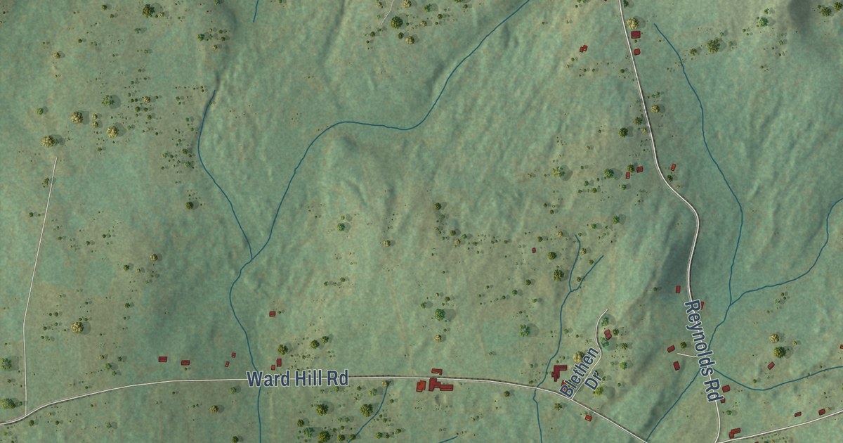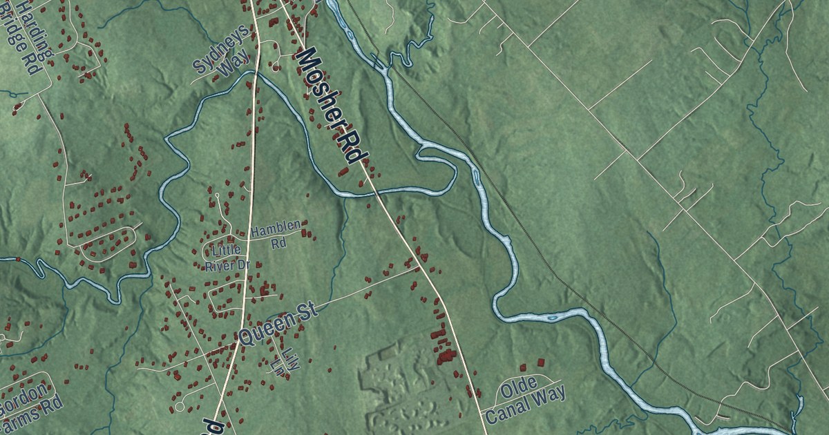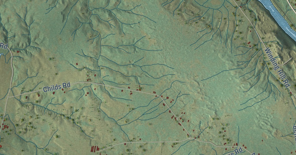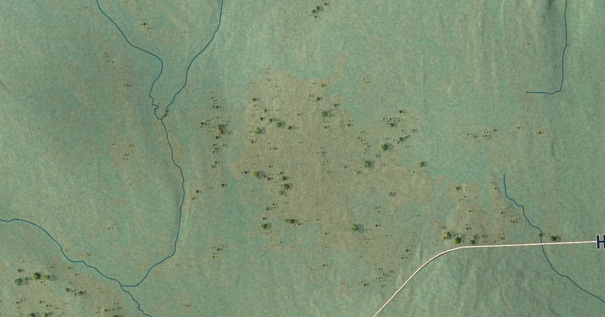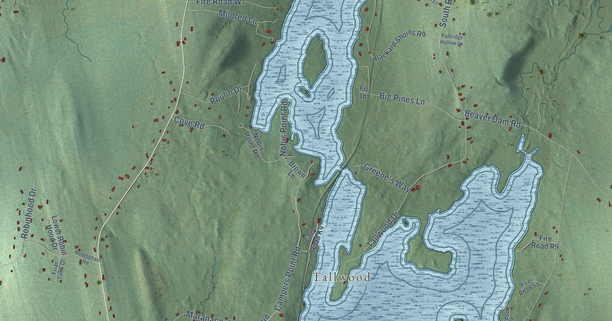
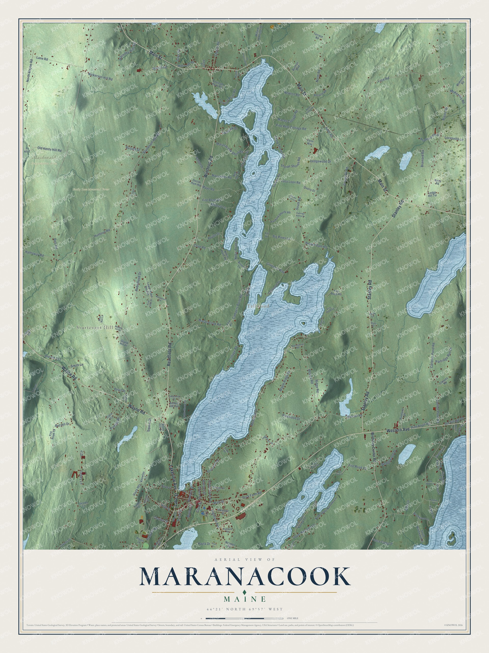
This beautifully detailed map of Maranacook, Maine was created in 2026 using aerial imagery combined with modern topographical, census, street and landmark data. It’s a one-of-a-kind view of Maranacook that combines accurate data with a vintage aesthetic. The map shows every building in its true location, many of the roads carry their names, and the shaded topographic relief shows the shape of the land.
Explore an aerial view of Maranacook, Maine
On the map you’ll find Sturtevant Hill, Tallwood, Emily Luce Memorial Forest, and Macdonald Conservation Area, along with Lakeview Avenue, Lake Street, Readfield Road, Main Street, Western Avenue, Stanley Road, Winthrop Road, Wayne Road, and more. If you look closely you can even find your house accurately drawn in its correct location. Zoom in on the preview to look for yours.
Did You Know?
From Internet Archive: "Lake Maranacook is about eight miles long, and its crystal waters extend from Winthrop village to Readfield, being crossed by a railway bridge at the narrows."
Maranacook is a community in Kennebec County.
Take a closer look at the Maranacook map
Names on this map
These names are printed on this map.
Places: Sturtevant Hill, Tallwood, Emily Luce Memorial Forest and Macdonald Conservation Area.
Streets and roads: Lakeview Avenue, Lake Street, Readfield Road, Main Street, Western Avenue, Stanley Road, Winthrop Road, Wayne Road, Campers Point Road, High Street, Peck Farm Road, Upper Narrows Lane.
More street names, A to Z
Adell Road, Autumn Crest Lane, Balsam Drive, Bearce Road, Beaver Dam Road, Beechwood Road, Belz Road, Berry Road, Big Pines Lane, Birch Street, Birchwood Lane, Bowdoin Street, Brainard Road, Brown Lane, Butman Boulevard, Butters Hill Terrace, Buzzell Drive, Carleton Pond Road, Carlton Pond Road, Chandler Drive, Charles Street, Church Road, Clara Circle, Clark Street, Cleaves Road, Colony Road, Cottage Road, Cove Road, Deer Run Lane, Depot Street, Doctor Ham Road, Ellis Lane, Fellows Lane, Fenn Way, Ffrd K3, Fire Road K4, Fire Road R9, Fire Road T9, Fire Road W7, Fire Road X2, Fire Road Y-7, Fire Road Y-9, Firlotte Lane, Foxfire Lane, Friar Tuck Drive, Fr Kh-2, Fr T8, Gannet Lane, Garden Place, Giles Road, Grand Hill Place, Gravel Pit Road, Greene's Way, Green Street, Greenwood Avenue, Greenwood Lane, Hanson Street, Harmony Hills Road, Harris Lane, Hathaway Road, Highland Avenue, Highland Heights, Hillside Avenue, Huntoon Road, Hunts Lane, Innes Road, Jacobs Lane, Kayla Drive, Kayla Lane, Kevin Lane, Knowles Lane, Lake Shore Drive, Lakeshore Drive, Lakeview Drive, Lane Road, Larson Lane, Lazy Loon Road, Ledge Hill Terrace, Ledgemere Drive, Ledgewood Drive, Loch Lane, Loon Cove Lane, Lower Robin Hood Drive, Lucasville Lane, Luce Road, Mace's Cottage Road, Maces Cottage Road, Macomber Road, Maple Ridge Drive, Maranacook Road, Maranacook Shore Road, Mayo Road, McKenney Road, McKenny Road, Meadow Brook Drive, Meadow Hill Road, Memorial Drive, Metcalf Road, Mildred Lane, Millard Harrison Drive, Millstream Road, Morrill Road, Morton Street, Newton Road, Nickerson Hill Road, Nobis Point Road, Norman Road, North Road, North Upper Narrows Lane, North Wayne Road, Nottingham Road, Nubble Road, Old Fairgrounds Road, Old Kents Hill Road, Old Route 133, Old Village Road, Old Western Avenue, Owens Drive, Packard Shores Road, Pamela Drive, Partridge Hollow Lane, Partridge Run Drive, Pearl Street, Pennwood Road, Pine Knoll Road, Pineland Drive, Pine Rest Cottage Road, Pinewood Drive, Pippin Lane, Plains Road, Pleasant Street, Poulin Drive, Quarry Drive, Rambler Road, Recycle Road, Red Sox Drive, Ridge Road, Robinhood Drive, Royal Street, Ruby Ridge Road, Russell Street, Short Street, Simpson Lane, Smith Lane, South Birchwood Lane, South Road, South Upper Narrow Lane, Squire Court, Stone Hill Drive, Sturtevant Hill Road, Summer Street, Tallwood Drive, Terrace Road, Terrapin Drive, Thorpe Shores Road, Thorp Shores Road, Timber Drive, Touisset Point Road, Town Hall Lane, Turkey Lane, Vista Heights, Wedgewood Drive, Winthrop Center Road, Ymca Camp Drive, Yukon Lane.
See it on a wall
The Maranacook map as a framed print. Swipe for more.


This beautifully detailed map of Maranacook makes an attractive addition to your office, library, or den, and it can even be used to teach children the geography and history of the area. It also makes a great gift for anyone who grew up in Maranacook or moved away. When you’re done exploring, click here to get your copy of the Maranacook map.