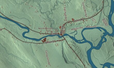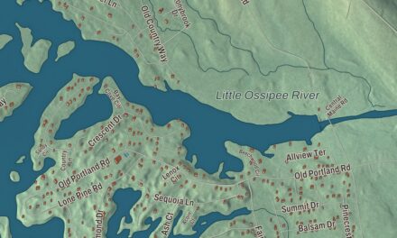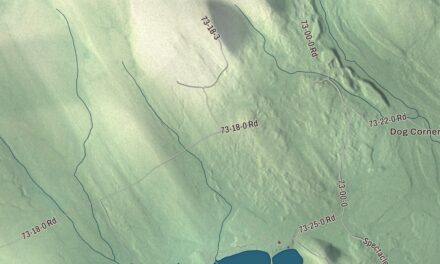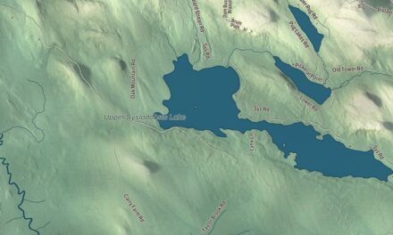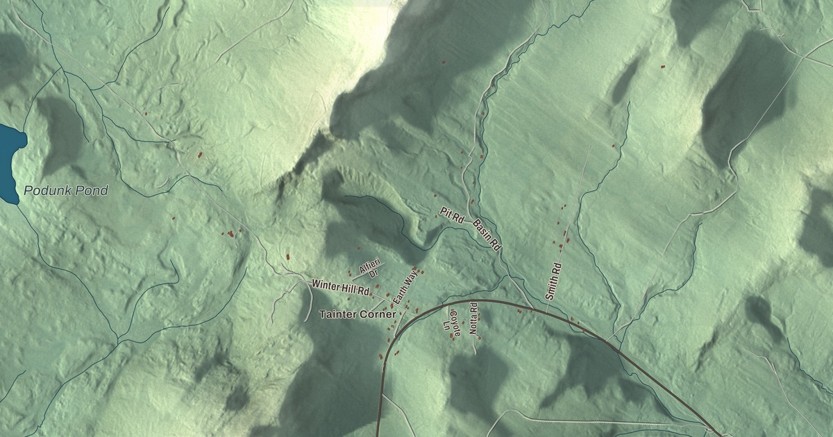
Carthage Road is the long line through this map of Carthage, Maine, and Tainter Corner and Berry Mills are printed along with it. Golbys Road, Storer Hill Road, Potter Road, Winter Hill Road and Goodwin Road carry their names too, and so do Halfmoon Pond and Podunk Pond. Click here to purchase a print of this map for your wall.
Carthage is a town in Franklin County, with 509 people at the 2020 census.
KNOWOL made this map in 2026 from public survey data and drew it to look like a page from an old atlas. The valley and the hills around it are shaded from United States Geological Survey elevation data, and the roads and town line come from the Census Bureau, which counts 33.46 square miles in Carthage, 0.13 of them water.
Bowley’s Mills and the Webb River
Carthage was first known as Plantation No. 4, Abbott’s Purchase. It was part of a large tract that Jacob Abbott of Wilton, New Hampshire, bought in 1815 from Jonathan Phillips of Boston, and the plantation was known for its pine forests and its limestone. The Bowley family came from Bristol, New Hampshire, early in the 1800s, and William Bowley, with his brother Oliver and their father Gideon, built the first sawmill at a spot called Bowley’s Mills, on the Webb River at the foot of Webb Lake. They added a gristmill the next year.
The town was incorporated on February 20, 1826, and named for Carthage, the ancient city on the Mediterranean in what is now Tunisia. In 1849 land was set off to form a new Plantation No. 4. By 1880, when 507 people lived here, Carthage had farms, two sawmills, a gristmill and a limestone quarry.
Hiram Pitt Bennet was born in Carthage in 1826, and his parents took him west to Ohio as a boy. He went on to serve as the first territorial representative for Colorado in Congress, and in 1863 he introduced the first bill for Colorado statehood. The town of Bennett, Colorado, is named for him.
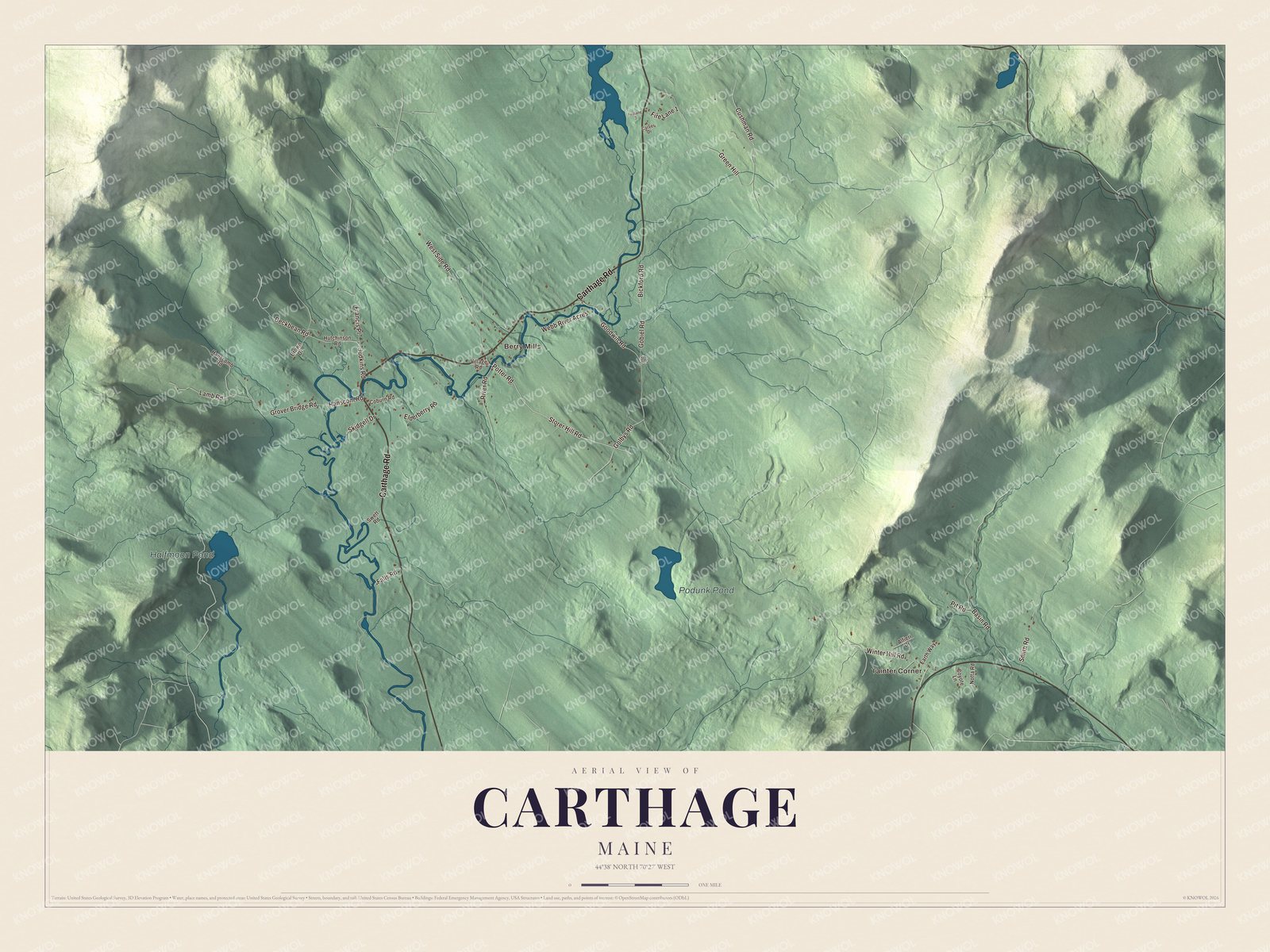
Click to explore a larger preview. The digital watermark does not appear on printed maps.
See it on a wall
The Carthage map as a framed print. Swipe for more.


Up Carthage Road
Carthage Road is printed on the map. It’s State Route 142, which runs north through Carthage from Dixfield toward Weld, and it runs beside the Webb River for the river’s whole course. The town lies in a valley between ranges of foothills and mountains, and the river meanders south through it to the Androscoggin.
The John G. Coburn Farm stands at 434 Carthage Road, on the west side of the road just north of where it crosses the Webb River. Oliver Newman Sr. built its two-story brick farmhouse in 1824, and it’s regionally distinctive as the only brick building in the Webb River valley. By 1880 Osca Newman Coburn and her husband John had brought the farm back into the Newman family, and their family held it until 1973. It was listed on the National Register of Historic Places in 2002. The Webb River Grange, at 112 Main Street, joined the Register in 2024.
Tainter Corner and Berry Mills are printed on the map, and both are villages of Carthage. Golbys Road, Storer Hill Road, Potter Road, Winter Hill Road and Goodwin Road are printed too, and so are Halfmoon Pond and Podunk Pond.
This Carthage map makes a fine addition to an office, library or den, and it can help teach children the geography and history of the area. It’s made for everyone who calls Carthage home, from Tainter Corner to Berry Mills, as it looks today. Zoom in on the preview above to explore the details, then click here to get your copy of the Carthage, Maine map.

Sources