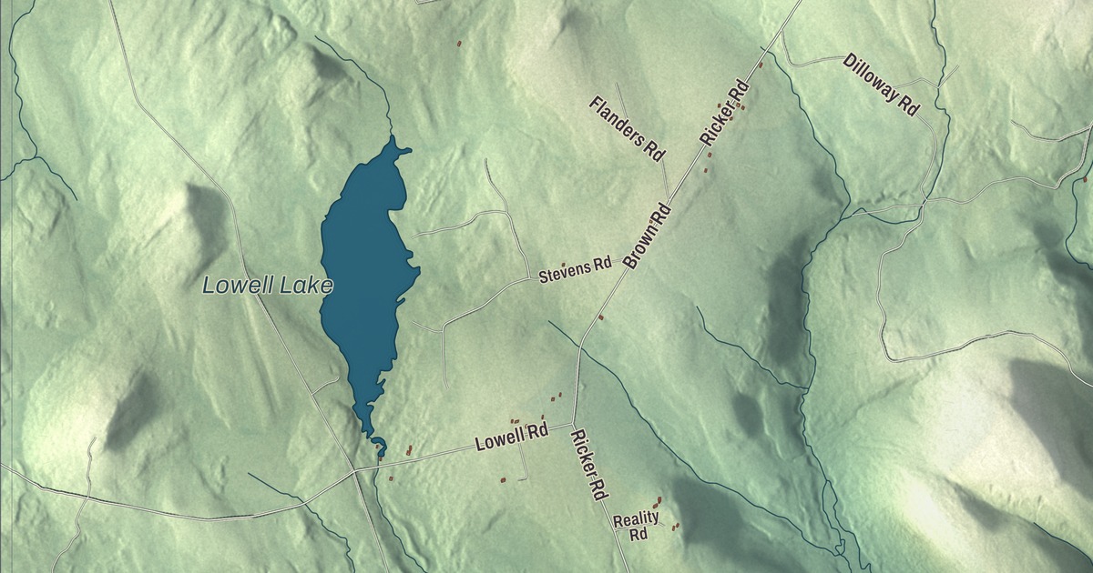
Main Road runs through the middle of the names printed on this map of Carroll, Maine, with Lee Road, Ricker Road, Brown Road, Mill Privilege Road and Osgood Road around it. Lowell Lake and Dipper Pond are printed too. Click here to purchase a print of this map for your wall.
Carroll is a plantation in Penobscot County, with 138 people at the 2020 census.
KNOWOL made this map in 2026 from public survey data and gave it the feel of an old atlas. The hills come from United States Geological Survey elevation data, and the roads and plantation line come from the Census Bureau, which counts 44.1 square miles in Carroll, 0.19 of them water. Carroll Plantation is part of the Bangor metropolitan area.
A plantation named for a signer
Carroll was incorporated as a town on March 30, 1845. The plantation was named for Daniel Carroll of Maryland, who signed the Constitution of the United States. He was one of five men to sign both the Articles of Confederation and the Constitution, and he was one of the few Catholics among the Founders. At the convention in Philadelphia, Carroll moved that the president be chosen “by the people” rather than “by the legislature”, and he’s credited as the author of the idea that powers not given to the federal government are reserved to the states or to the people.
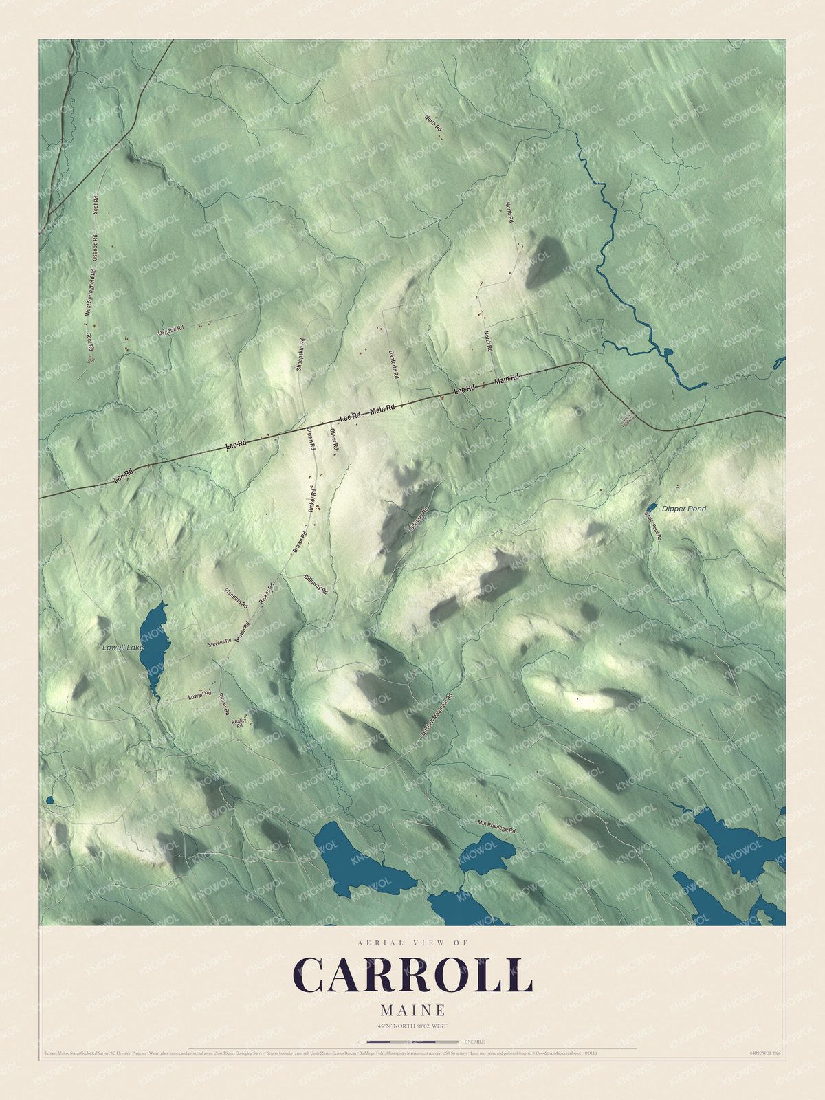
Click to explore a larger preview. The digital watermark does not appear on printed maps.
See it on a wall
The Carroll map as a framed print. Swipe for more.


Along Main Road
Main Road is printed on the map. It’s State Route 6, and Carroll lies along it near its meeting with State Route 170. Route 6 runs across the whole state, from the Quebec line near Sandy Bay to the New Brunswick line at Vanceboro, and it’s the only highway in Maine that ends at the Canadian border at both ends. Route 170 runs north from Springfield to Macwahoc.
Lee Road is printed on the map. It shares its name with the town of Lee, and Carroll’s high school students go to Lee Academy under a contract with the school district that covers Carroll. Ricker Road, Brown Road, Mill Privilege Road and Osgood Road are printed as well, and so are Lowell Lake and Dipper Pond.
This map of Carroll makes a good addition to an office, library or den, and it can help teach children the geography and history of the area. It’s made for everyone who calls Carroll home, from Main Road to Lowell Lake, as it looks today. Zoom in on the preview above to explore the details, then click here to get your copy of the Carroll, Maine map.

Sources
- Carroll Plantation, Maine, Wikipedia
- List of municipalities in Maine, Wikipedia
- Maine Register, State Year-Book and Legislative Manual (1920)
- Maine Register, State Year-Book and Legislative Manual (1920)
- Daniel Carroll, Wikipedia
- Maine State Route 6, Wikipedia
- Maine State Route 170, Wikipedia
- Lee Academy (Maine), Wikipedia