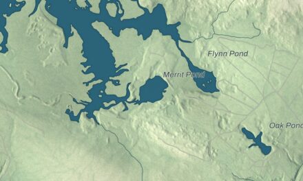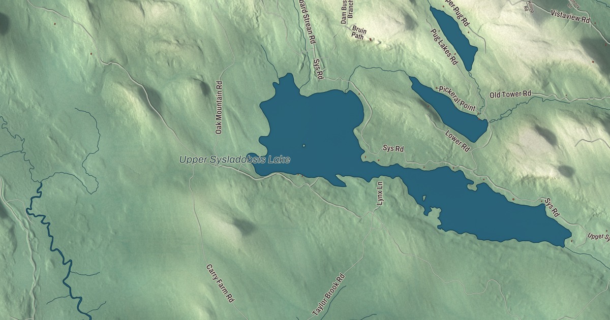
Depot Road and Upper Sysladobsis Lake give you names to find on this Lakeville map. Look for Keg Lake and Lombard Lake, then explore the buildings and roads in the aerial view. Click here to purchase a print of this map for your wall.
Lakeville is a town in Penobscot County.
KNOWOL made this map in 2026 from public survey records, United States Geological Survey elevation data and Census Bureau files. Its atlas layout brings together Lakeville’s streets, buildings, ponds and waterways, and terrain, the town boundary and the pattern of buildings.
A town with lakes
Lakeville was organized as a plantation in 1868 and became a town in 1981. Census Bureau figures show more than seven square miles of water within the town.
Lakeville’s school district sends students to schools outside the town. Its high school students attend Lee Academy in Lee, a school founded in 1845 as a teacher-training institution.
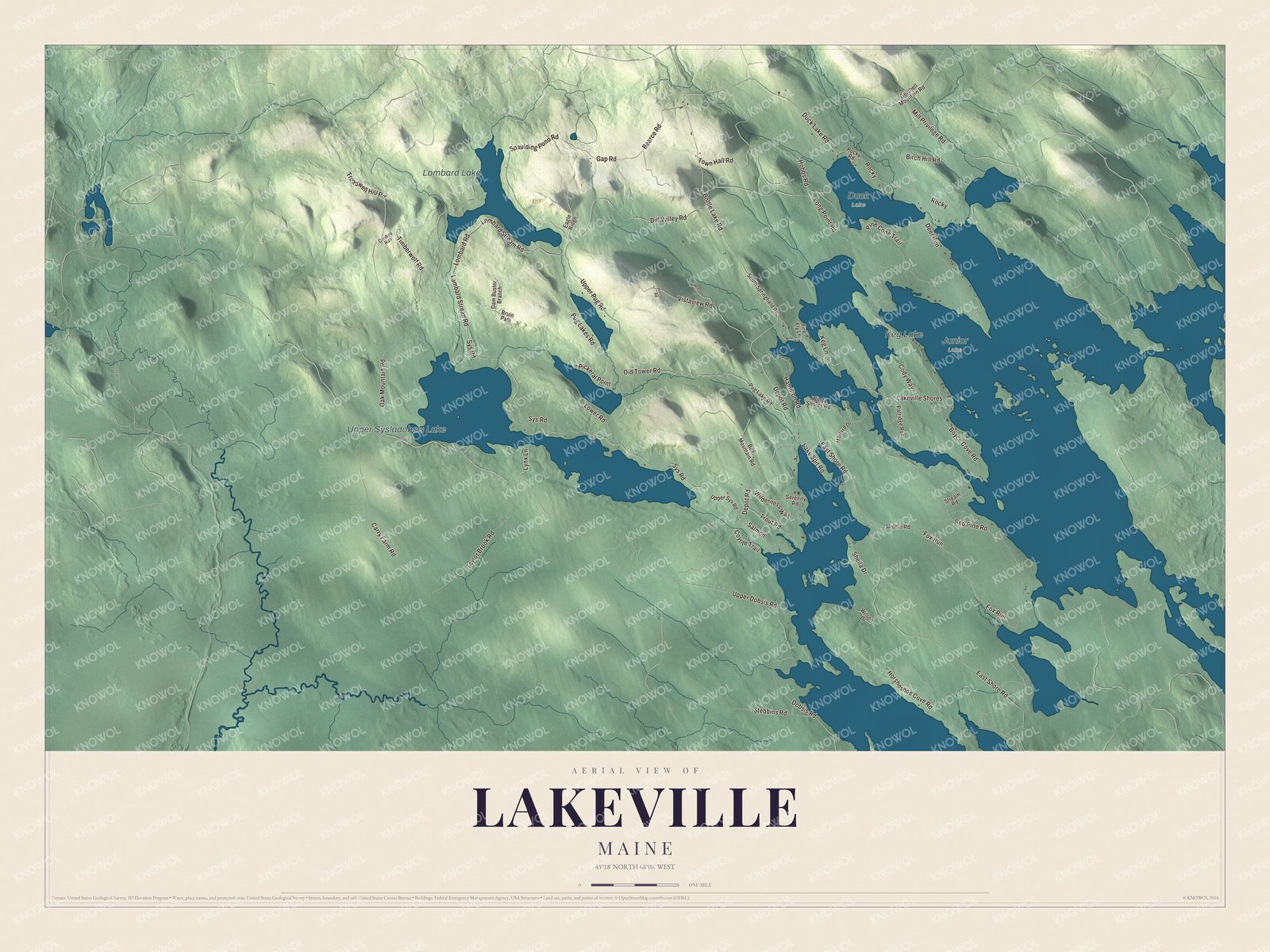
Click to explore a larger preview. The digital watermark does not appear on printed maps.
Names on this map
These names are printed on this map.
Places: Upper Sysladobsis Lake, Keg Lake, Lombard Lake, Duck Lake and Junior Lake.
Streets and roads: Lakeville Shores, Depot Road, Bottle Lake Road, Duck Lake Road, East Shore Road, Old Tower Road, Sys Road, Boyce Cove Road, Spaulding Pond Road, Lombard Road, Dobsis Road, Upper Dobsis Road.
More street names, A to Z
Bearce Road, Bear Mountain Road, Birch Hill Road, Bruin Path, Caribou Run, Carry Farm Road, Cody Way, Coyote Trail, Dam Buster Branch, Deer Run, Dill Valley Road, Eagle Ridge, Fire Fly Lane, Fox Run, Gap Road, Getchell Mountain Road, Hamilton Road, Hilltop Road, Hobbs Road, Horsheshoe Cove Road, Keg Lane, Lake Spit Road, Lambard Strean Road, Lombard Stream Road, Long Point Road, Lower Road, Lynx Lane, Mailard Drive, Memory Lane, Middle Road, Mill Privilege Road, Oak Mountain Road, Patridge Run, Pickeral Point, Pine Cone Trail, Pug Lake Road, Pug Lakes Road, Red Pine Road, Rocky, Rocky Road, Salmon, Serenity Road, Sheila Drive, South Springfield Road, Stebbins Road, Stream Road, Taylor Brook Road, Timberwolf Road, Town Hall Road, Treadwell Hill Road, Trout Road, Upper Pug Road, Upper Sys Road, Vistaview Road, Wilderness Way, Wilson Drive, Windy Shores Road.
See it on a wall
The Lakeville map as a framed print. Swipe for more.


Explore the Lakeville map
Depot Road, Bottle Lake Road and Duck Lake Road are printed road names. East Shore Road, Old Tower Road and Sys Road give you more names to find in the preview.
Upper Sysladobsis Lake, Keg Lake and Lombard Lake are labeled on the artwork. Compare the drawn roads with the buildings, water and terrain around them.
This map shows Lakeville as it looks today, made for people who call Lakeville home. Hang it in your office, library, or den, or use it to teach children the geography and history of the area. Zoom in on the preview above to explore the details, then click here to get your copy of the Lakeville, Maine map.

Sources