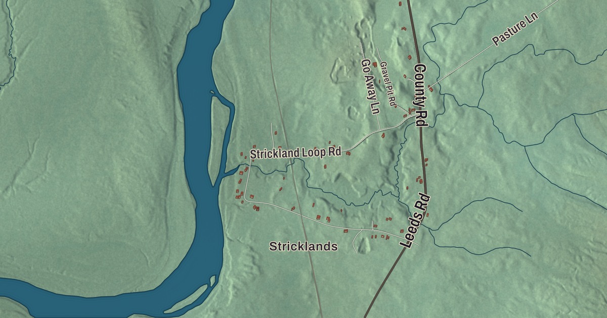
Stricklands and Shy Corner are places to begin this Livermore Falls map. Look for Main Street, Moose Hill Pond and the roads and buildings you recognize. Click here to purchase a print of this map for your wall.
Livermore Falls is a town in Androscoggin County.
KNOWOL made this map in 2026 from public survey records, United States Geological Survey elevation data and Census Bureau files. Its atlas layout brings together Livermore Falls’s streets, buildings, neighborhoods, ponds and waterways, and terrain, the town boundary and the pattern of buildings.
East Livermore and the poet Louise Bogan
Livermore Falls was incorporated as East Livermore in 1844 and took its present name in 1929. Its early economy included apple orchards, dairies, sawmills and gristmills.
Poet Louise Bogan was born in Livermore Falls in 1897. She became the first woman appointed Consultant in Poetry to the Library of Congress in 1945, the position now known as U.S. Poet Laureate.
Bogan published her first poetry collection, Body of This Death, in 1923. She reviewed poetry for The New Yorker from 1931 to 1970 and received the Bollingen Prize in 1955.
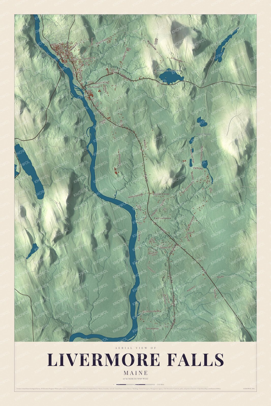
Click to explore a larger preview. The digital watermark does not appear on printed maps.
See it on a wall
The Livermore Falls map as a framed print. Swipe for more.


Explore the Livermore Falls map
Stricklands and Shy Corner are printed places, along with East Livermore and Haines Corner. Fayette Road, Main Street and Park Street are roads to find in the preview.
County Road, Leeds Road and Pleasant Street are printed as well. Moose Hill Pond and Rack Pond are labeled on the artwork, giving you water features to compare with the town’s buildings and roads.
For people who call Livermore Falls home, this map shows the town as it looks today. Put it in your office, library, or den, or use it to teach children the geography and history of the area. Zoom in on the preview above to explore the details, then click here to get your copy of the Livermore Falls, Maine map.

Sources