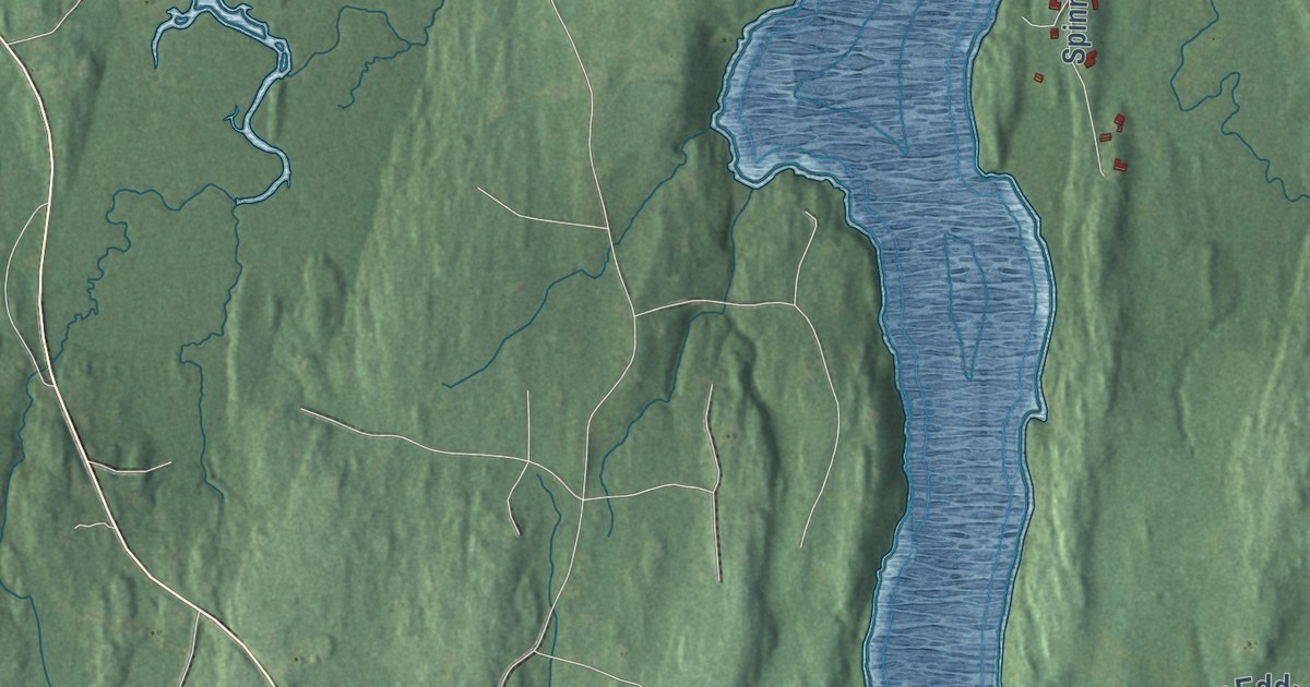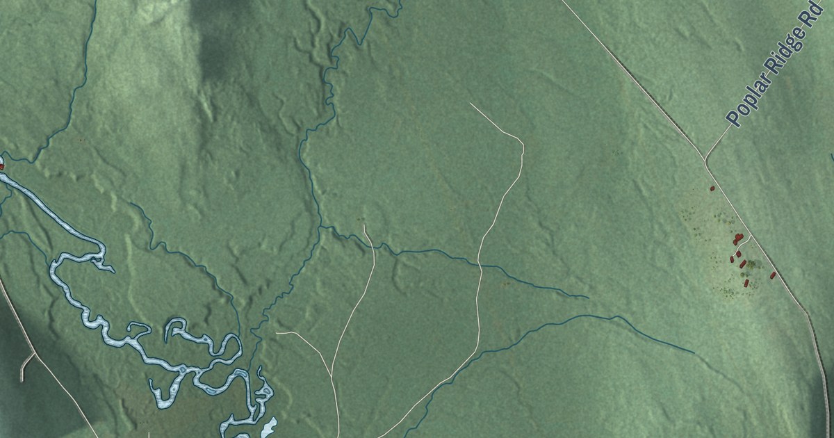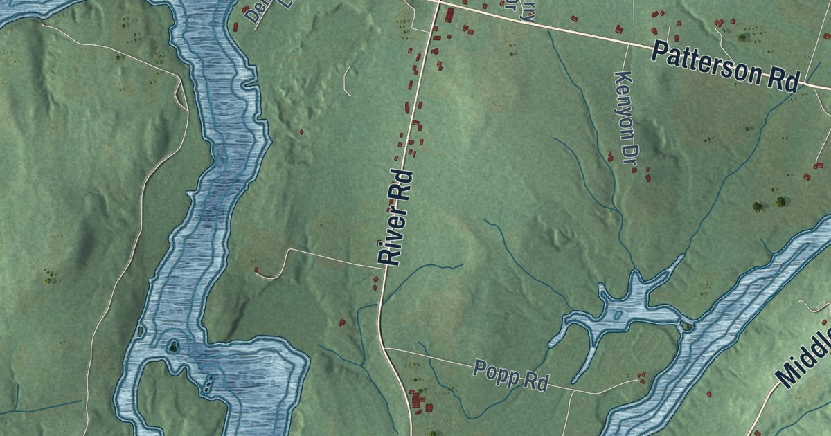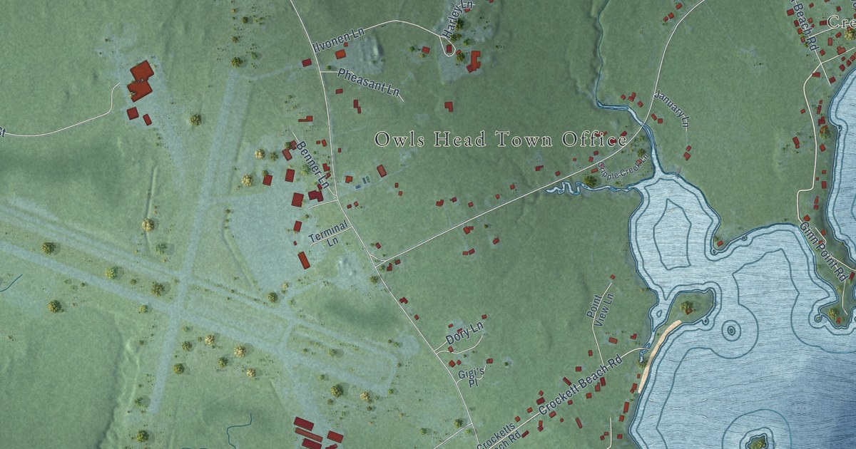
This beautifully detailed map of Ash Point, Maine was created in 2026 using aerial imagery combined with modern topographical, census, street and landmark data. It’s a one-of-a-kind view of Ash Point that combines accurate data with a vintage aesthetic. The map shows every building in its true location, many of the roads carry their names, and the shaded topographic relief shows the shape of the land.
Explore an aerial view of Ash Point, Maine
On the map you’ll find Owls Head Town Office, Crescent Beach, Ash Island Preserve, Ash Point Preserve, Birch Point State Park, and Plaisted Preserve, along with Ingraham Lane, Elm Street, Ingraham Drive, Weskeag Road, Dynamite Beach Road, Granite Point Drive, and more. If you look closely you can even find your house accurately drawn in its correct location. Zoom in on the preview to look for yours.
Did You Know?
From Internet Archive: "John, came early, with his family, from Ipswich, Mass., settled at Ash Point, was a lace maker by trade, as well as mariner; r. & d."
Ash Point is a community in Knox County.
Take a closer look at the Ash Point map
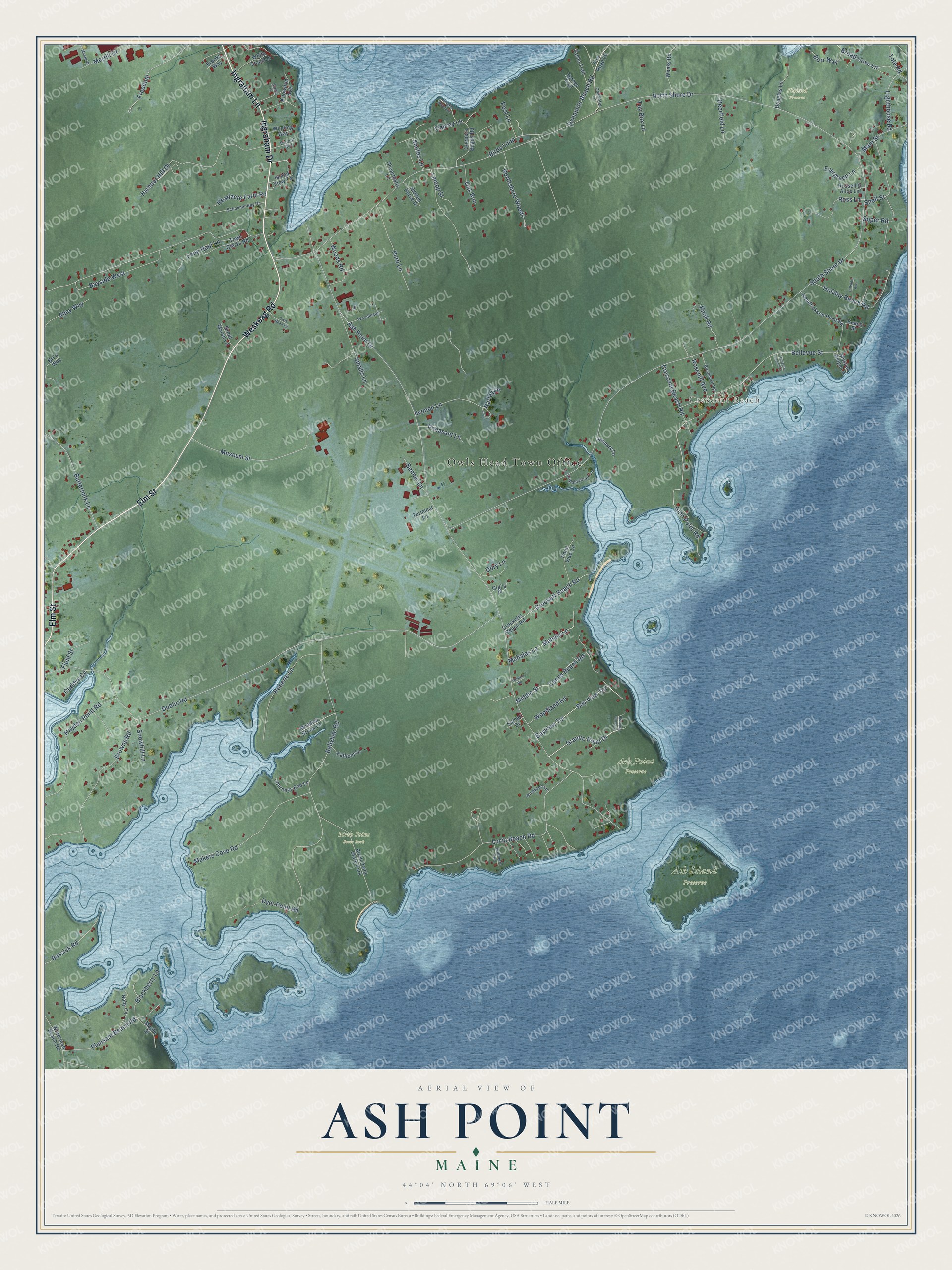
Names on this map
These names are printed on this map.
Places: Owls Head Town Office, Crescent Beach, Ash Island Preserve, Ash Point Preserve, Birch Point State Park and Plaisted Preserve.
Streets and roads: Ingraham Lane, Elm Street, Ingraham Drive, Weskeag Road, Dynamite Beach Road, Granite Point Drive, Bay View Terrace, Ginn Point Road, Ash Point Drive, North Shore Drive, South Shore Drive, Dublin Road.
More street names, A to Z
Alley Way, Ashmere Terrace, Ballyhac Road, Bassick Road, Bayside West, Bayview Terrace, Beach Street, Bellevue Street, Benner Lane, Birchmont Road, Birds Loop, Blackberry Lane, Bri's Way, Broad Cove Lane, Brooks Way, Browns Road, Burr Way, Buttermilk Lane, Canns Beach Road, Charlotte Lane, Cooper Bench Road, Coopers Beach Road, Crescent Beach Road, Cripple Creek Lane, Crockett Beach Road, Crocketts Beach Road, Cuddys Cv, Deerfield Lane, Dory Lane, Douglas Lane, Dyer Point Road, Everett Avenue, Evergreen Lane, Fathom Lane, Field Street, Fire Road 20, Freedom, Gigi's Place, Granite Point Road, Great Marsh Lane, Guptill Lane, Harbour Hill Drive, Harley Lane, Hayden Point Road, Headacre Farm Road, Hendrickson Point Road, Hidden Horse Drive, Hillside Avenue, Holiday Beach Road, Hurd Lane, Ilvonen Lane, Island View Terrace, January Lane, Journeys End Lane, Knoll Road, Knowlton Avenue, Lighthouse Road, Lmnop Street, Long Haul Lane, Lucia Beach Road, Mahala Lane, Mahalas Lane, Main Street, Makers Cove Road, Maple Street, Meadow Brook Lane, Merrill Drive, Middle Street, Moran Drive, Museum Street, Mussel Ridge Lane, Naby Cv, Northshore Woods, Oak Run, Osprey Lane, Owls Head Lane, Pheasant Lane, Pleasant Beach Road, Point View Lane, Post Lane, Roberts Lane, Rosehill Avenue, Ross Lane, Russell & Alice Lane, Schooner Bay Drive, Shearmans Lane, Shell Street, Smalls Lane, Smiths Lane, Snowhill Lane, Soper Road, Sumac Drive, Tasho Trail, Terminal Lane, Torney Trail, Tote Road, Town Clerks Road, Toy Box Lane, Treasure Island Lane, Waterman Beach Road, Weeks Road, Weston Road, White Stone Lane, Wildwood Lane, Winding Way, Woodland Road, Woodmans, Woods Road.
See it on a wall
The Ash Point map as a framed print. Swipe for more.


This beautifully detailed map of Ash Point makes an attractive addition to your office, library, or den, and it can even be used to teach children the geography and history of the area. It also makes a great gift for someone who left Ash Point and still calls it home. When you’re done exploring, click here to get your copy of the Ash Point map.