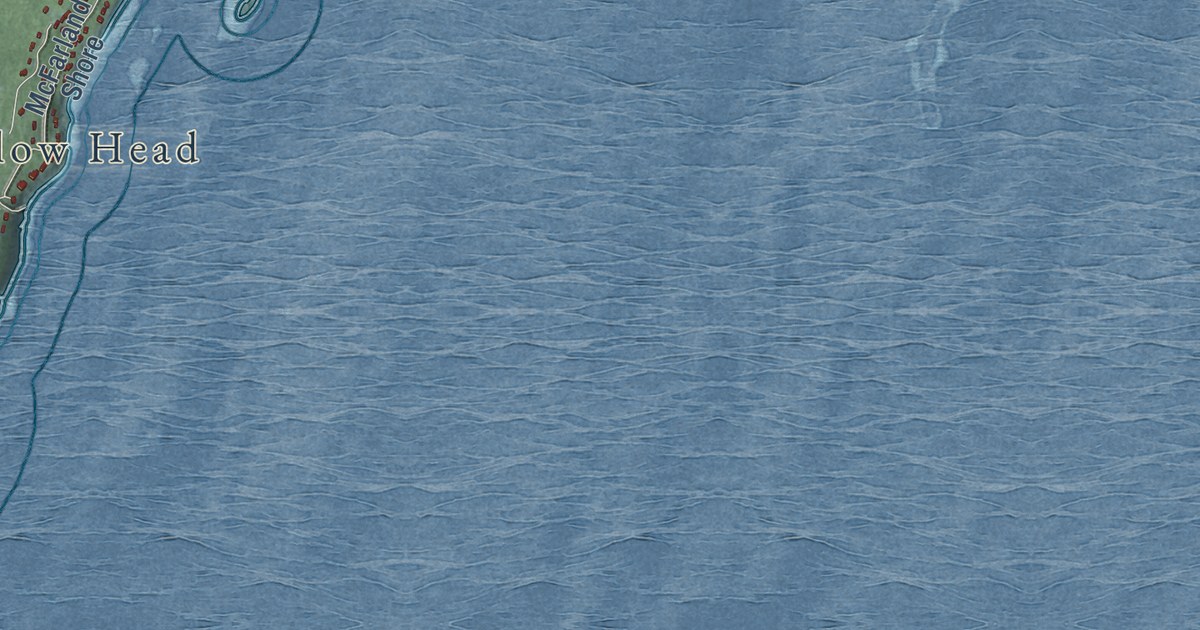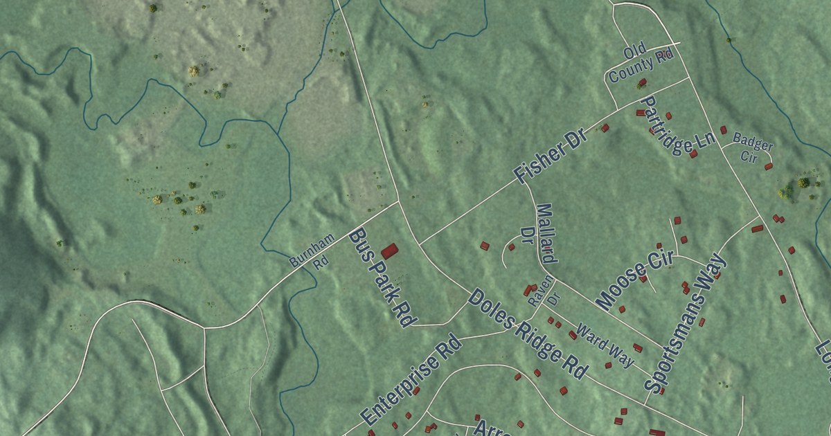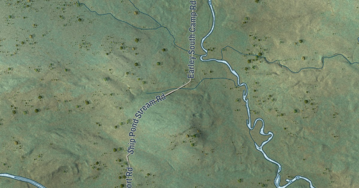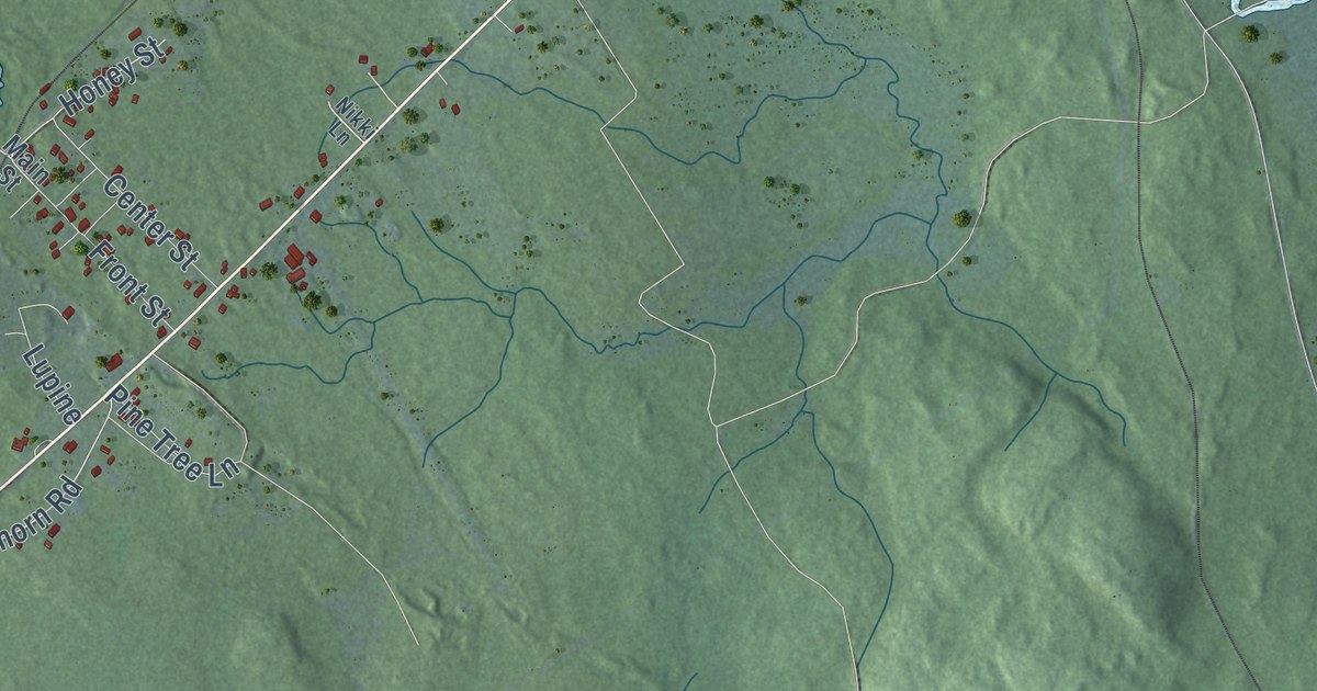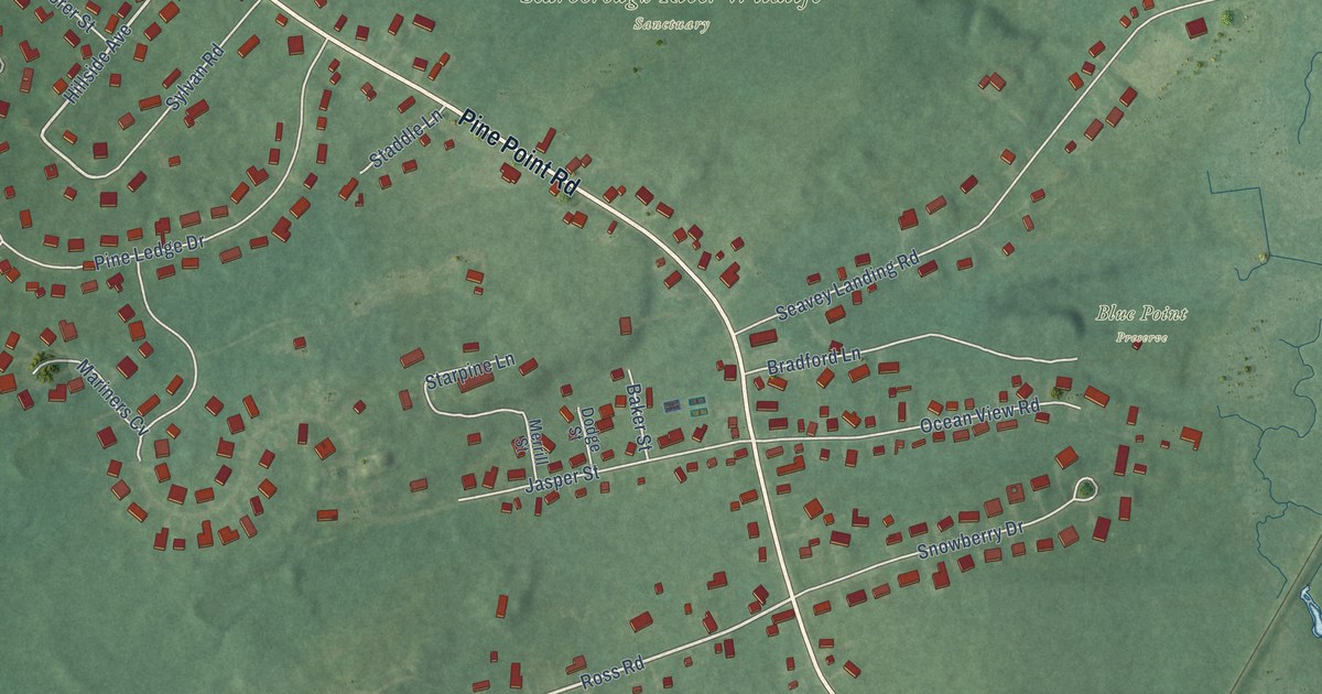
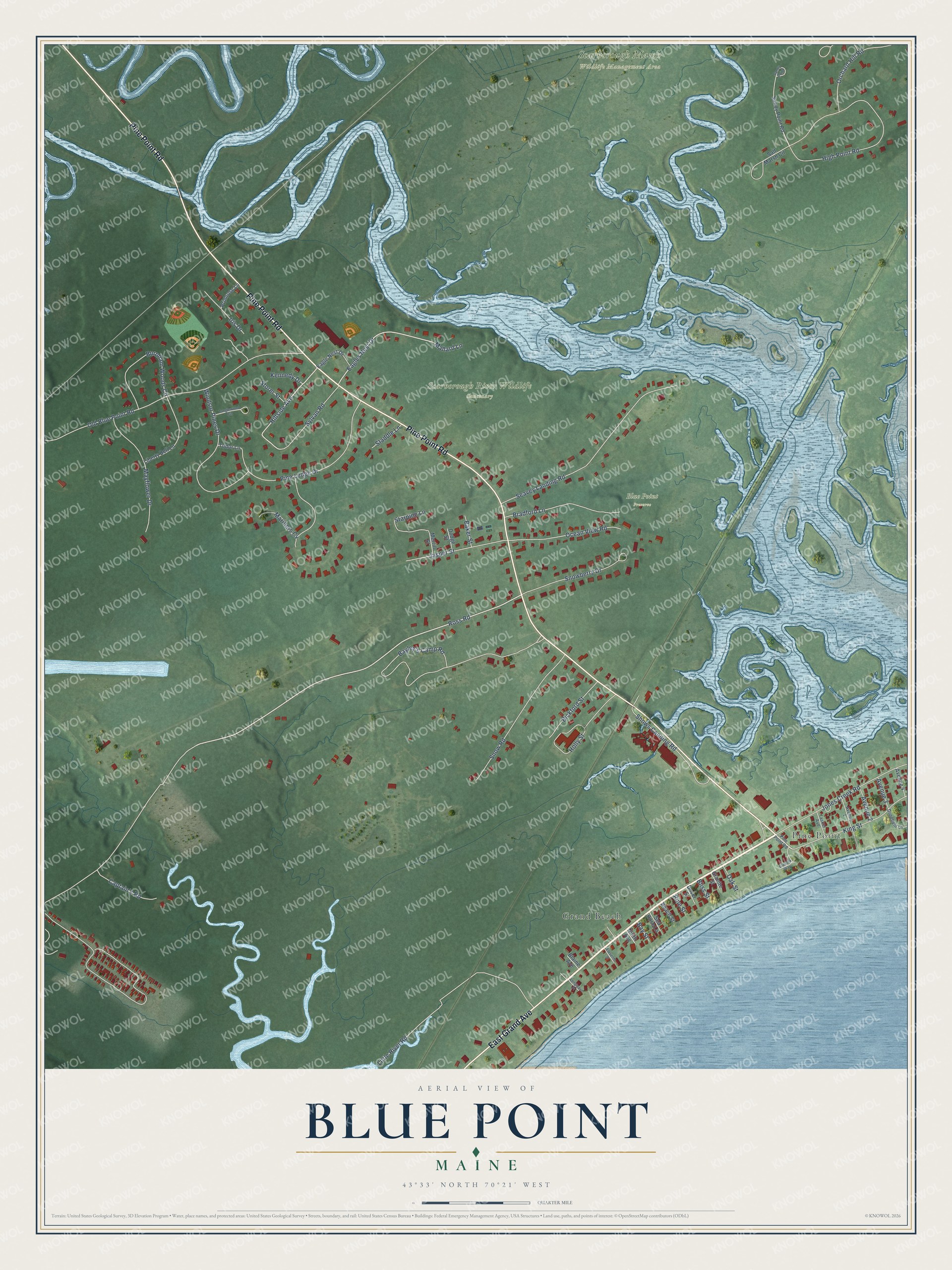
This beautifully detailed map of Blue Point, Maine was created in 2026 using aerial imagery combined with modern topographical, census, street and landmark data. It’s a one-of-a-kind view of Blue Point that combines accurate data with a vintage aesthetic. The map shows every building in its true location, many of the roads carry their names, and the shaded topographic relief shows the shape of the land.
Explore an aerial view of Blue Point, Maine
On the map you’ll find Blue Point Preserve, Scarborough Marsh Wildlife Management Area, Scarborough River Wildlife Sanctuary, Grand Beach, and Pine Point, along with East Grand Avenue, Pine Point Road, Ross Road, Eagles Nest Drive, Orchard Hill Road, Hillside Avenue, Bayley’s Camp Road, and more. If you look closely you can even find your house accurately drawn in its correct location. Zoom in on the preview to look for yours.
Did You Know?
From Internet Archive: "In the few years of comparative quiet, the Black Point settlement regained much of its former strength; but Dunstan and Blue Point showed but few signs of their former vigor."
Blue Point is a community in Cumberland County.
Take a closer look at the Blue Point map
Names on this map
These names are printed on this map.
Places: Blue Point Preserve, Scarborough Marsh Wildlife Management Area, Scarborough River Wildlife Sanctuary, Grand Beach and Pine Point.
Streets and roads: East Grand Avenue, Pine Point Road, Ross Road, Eagles Nest Drive, Orchard Hill Road, Hillside Avenue, Bayley's Camp Road, Old Blue Point Road, High Point Road, Seavey Landing Road, Little River Road, Jasper Street.
More street names, A to Z
Avenue 1, Avenue 2, Avenue 3, Avenue 4, Baker Street, Bay Street, Beach Street, Bickford Street, Blaine Avenue, Bliss Street, Bradford Lane, Burnham Woods Circle, Captain's Road, Claudia Way, Dodge Street, Dover Street, Dunefield Lane, Eagle Nest Drive, Eleventh Street, Granite Street, Holly Street, Iris Drive, Jones Creek Road, Kennedy Drive, King Street, Liberty Bell Lane, Longwave Place, Mallard Lane, Mariners Cv, Mayflower Drive, Merrill Street, Ninth Avenue, Oak Street, Ocean View Road, Pine Ledge Drive, Pine Street, Primrose Lane, Salt Marsh Circle, Sandy Point, Sandy Point Road, Sea Rose Lane, Shows Canning Road, Snowberry Drive, Snow Road, Staddle Lane, Starpine Lane, Storer Street, Sylvan Road, Tanglewood Circle, Tasker Avenue, Tudor Lane, Windsor Pines Drive.
See it on a wall
The Blue Point map as a framed print. Swipe for more.


This beautifully detailed map of Blue Point makes an attractive addition to your office, library, or den, and it can even be used to teach children the geography and history of the area. It also makes a great gift for someone who left Blue Point and still calls it home. When you’re done exploring, click here to get your copy of the Blue Point map.