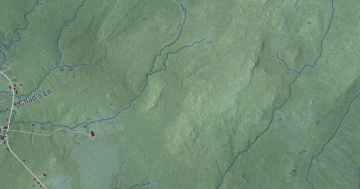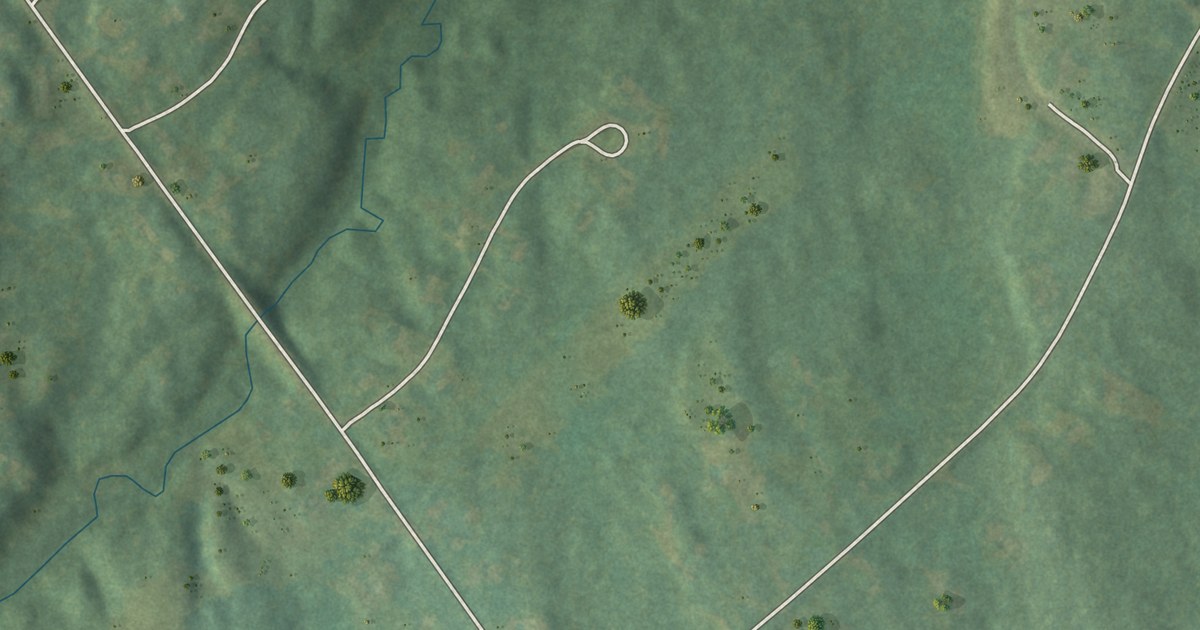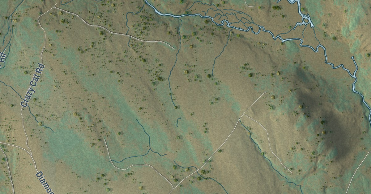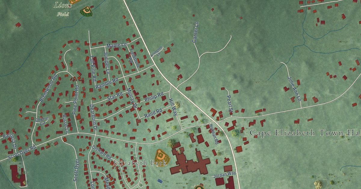
This beautifully detailed map of Pond Cove, Maine was created in 2026 using aerial imagery combined with modern topographical, census, street and landmark data. It’s a one-of-a-kind view of Pond Cove that combines accurate data with a vintage aesthetic. The map shows every building in its true location, many of the roads carry their names, and the shaded topographic relief shows the shape of the land.
Explore an aerial view of Pond Cove, Maine
On the map you’ll find Cape Elizabeth Town Hall, Elizabeth Park, Gull Crest Trails, Hobstone Woods Preserve, Lions Field, Robinson Woods Preserve, Runaway Farm, and Purpoodock Golf Club, along with Ocean House Road, Wildwood Drive, Olde Colony Lane, Spurwink Avenue, and more. If you look closely you can even find your house accurately drawn in its correct location. Zoom in on the preview to look for yours.
Did You Know?
From Internet Archive: "During the year there has been a rapid increase in the number of pupils at Pond Cove school."
Pond Cove is a community in Cumberland County.
Take a closer look at the Pond Cove map
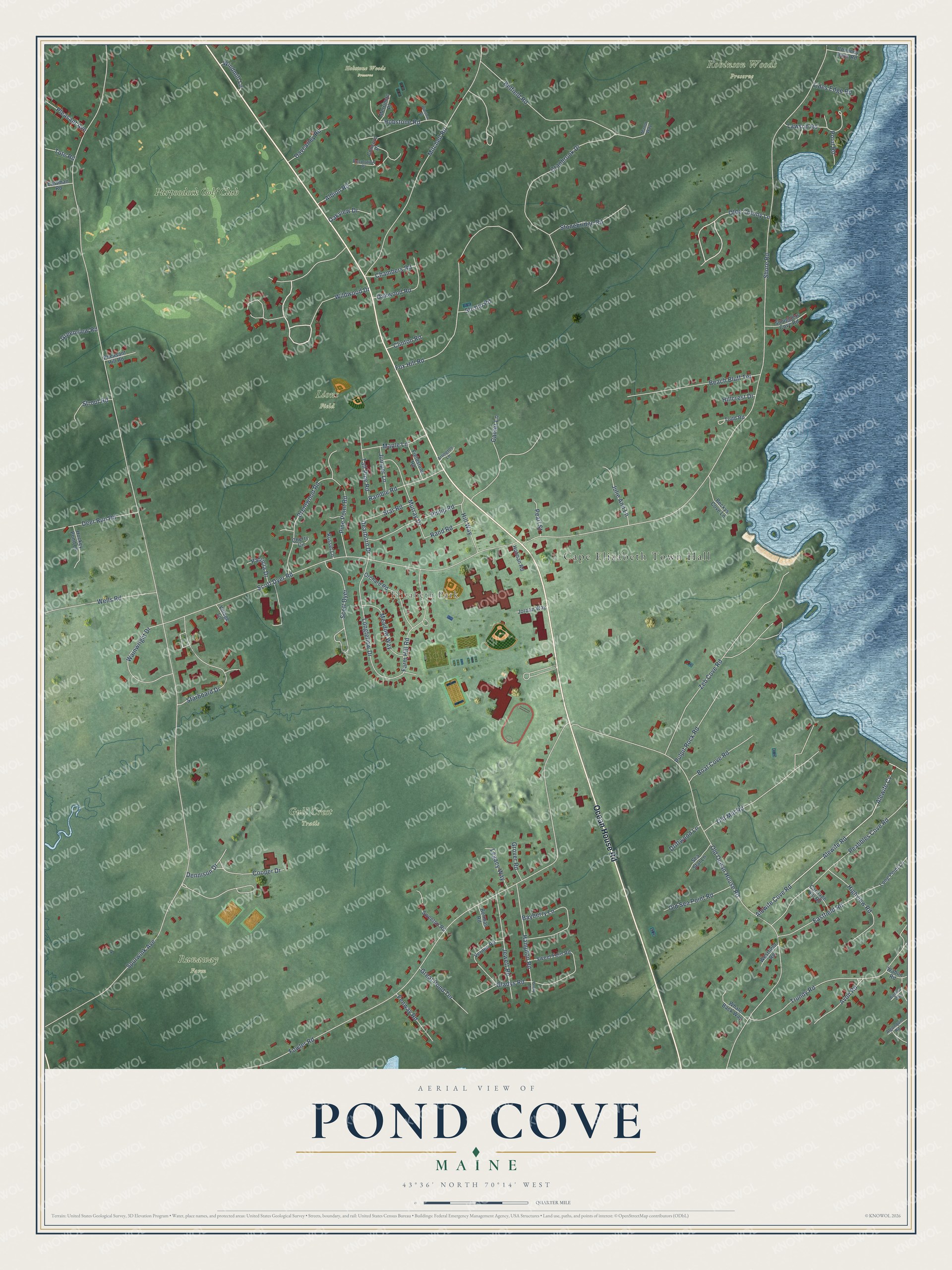
Names on this map
These names are printed on this map.
Places: Cape Elizabeth Town Hall, Elizabeth Park, Gull Crest Trails, Hobstone Woods Preserve, Lions Field, Robinson Woods Preserve, Runaway Farm and Purpoodock Golf Club.
Streets and roads: Ocean House Road, Wildwood Drive, Olde Colony Lane, Spurwink Avenue, Shore Road, Fowler Road, Old Ocean House Road, Scott Dyer Road, Mitchell Road, Fox Hill Road, Cranbrook Drive, Alewife Cove Road.
More street names, A to Z
Albion Road, Alewife Cv, Alewife Road, Algonquin Road, Arlington Lane, Avon Road, Bayberry Lane, Beach Bluff Terrace, Beckys Cove Lane, Belfield Road, Berman Road, Bigelow Way, Boat Cove Road, Brentwood Road, Canter Lane, Carriage Hill Road, Chambers Road, Cherry Circle, Chimney Rock Road, Clinton Road, Concord Place, Cooper Drive, Davcarley Road, Dearborn Drive, Deer Run Road, Dennison Drive, Driftwood Lane, Eastfield Road, Eastman Road, Farm Hill Road, Fenway Road, Fieldstone Road, Gladys Road, Great Pond Terrace, Greenview Road, Grover Road, Hampton Road, Highview Road, Hillcrest Drive, Hill Way, Hobstone Road, Hockey Pond Lane, Holman Road, Jewett Road, Jordan Way, Julie Ann Lane, Juniper Lane, Lawson Road, Legacy Way, Longfellow Drive, Long Point Lane, Manor Way, Maple Lane, Meadow Way, Merrimac Place, Murray Drive, Oakview Drive, Oakwood Road, Old Mill Road, Old Sea Point Road, Orchard Road, Patricia Drive, Peabbles Cove Road, Pearl Street, Penny Lane, Pheasant Hill Road, Philip Road, Pine Point Road, Pleasant Avenue, Point Road, Pulpit Rock Road, Ramble Road, Rand Road, Resolution Place, Russet Lane, Scott Dyer, Sea Star Lane, Smugglers Cove Road, Starboard Drive, Star Road, Stirrup Road, Stonebridge Road, Strout Road, Sweet Fern Road, Sweetsir Road, Tall Pine Road, Tides Edge Road, Todd Road, Tote Road, Trundy Road, Vernon Road, Village Lane, Wabun Road, Wainwright Drive, Wells Road, Westfield Road, Whale Back Way, Windmill Lane, Winslow Place, Zeb Cove Road.
See it on a wall
The Pond Cove map as a framed print. Swipe for more.


This beautifully detailed map of Pond Cove makes an attractive addition to your office, library, or den, and it can even be used to teach children the geography and history of the area. It also makes a great gift for anyone who grew up in Pond Cove or moved away. When you’re done exploring, click here to get your copy of the Pond Cove map.