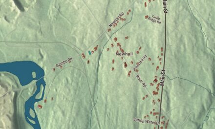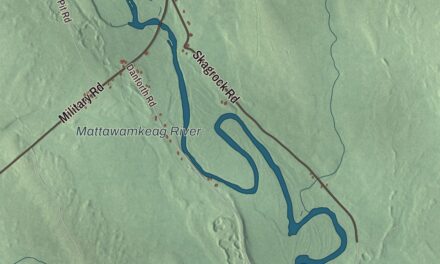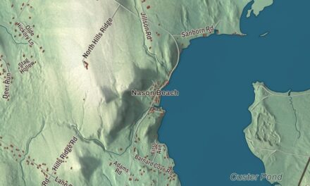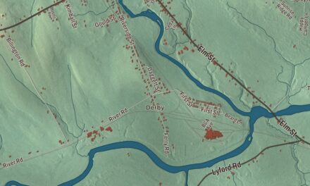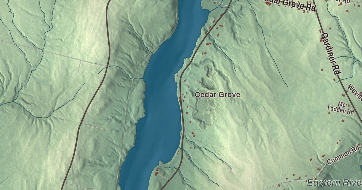
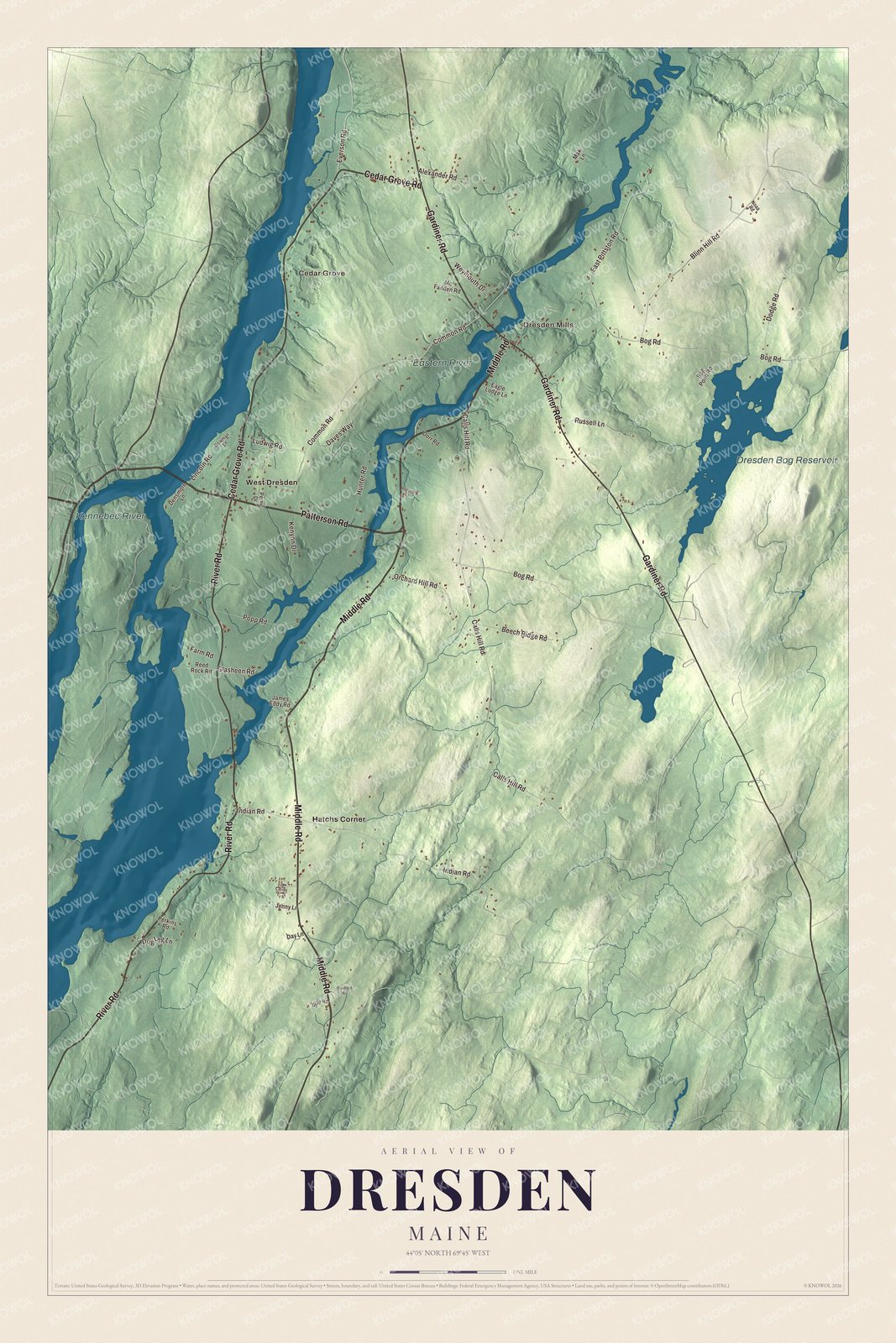
The Kennebec River, the Eastern River and Cedar Grove are the first names to find on this map of Dresden, Maine. Middle Road, River Road, Gardiner Road, Cedar Grove Road, Patterson Road and Bog Road lead on to Dresden Mills, Hatchs Corner and West Dresden. Click here to purchase a print of this map for your wall.
Dresden is a town in Lincoln County, with 1,725 people at the 2020 census.
KNOWOL made this map in 2026 from public survey data and gave it the look of an old atlas. The Census Bureau measures the town at 33.21 square miles, 2.76 of them water, and its files give the roads and the town line. United States Geological Survey elevation data shades the hills, and Dresden has a listed elevation of 190 feet.
Frankfort, Pownalborough, Dresden
French and German Huguenots settled this east bank of the Kennebec in the 1750s and called it Frankfort. They were part of the first wave of French-speaking settlers in Maine, set apart from later ones by their Protestant faith. When Lincoln County was created in 1760, the town was incorporated as Pownalborough, named for Governor Thomas Pownall, and it took in what are now Dresden, Alna, Jefferson and Wiscasset. Wiscasset soon went its own way as the county’s shire town. The present territory was incorporated on June 25, 1794, and Jonathan Bowman, the county’s probate judge, chose the name Dresden because he liked the sound of it. The town’s page names the Goodwins, Houdlettes, Mayerses, Bridges, Bowmans, Percys, Johnsons and Trussells among the families who left their mark on the town, the state and the country.
The courthouse on the Kennebec
The Pownalborough Courthouse stands on the grounds of Fort Shirley, built in 1752, overlooking the Kennebec in the western part of town. Work began in 1761, the county’s first court met in the unfinished building that year, and it was finished in 1769. The town’s page calls it the first seat of government east of the Kennebec, and the courthouse’s page says it’s the only courthouse built in Maine during the colonial period that still survives. Besides the court it served as a tavern, inn, post office, dance hall, church and meeting house, and the descendants of Major Samuel Goodwin, the fort’s commander, lived on its third floor into the 1930s. A young John Adams argued a property case there, and Robert Treat Paine and John Hancock appeared there too. It has never had electricity or modern plumbing, and today it’s a museum of the Lincoln County Historical Society, open in season, with a trail system on its grounds.
The town’s first settled minister, Jacob Bailey, came in 1760 to serve the German Lutheran and French Huguenot families, and an Anglican church and parsonage, St. John’s, were built for him in 1770. Bailey stayed loyal to the Crown and left for Nova Scotia in 1779, where his writings earned him a place in Canadian history. The church and parsonage later fell into decay, and their site is listed on the National Register.
Click to explore a larger preview. The digital watermark does not appear on printed maps.
See it on a wall
The Dresden map as a framed print. Swipe for more.


Houses, schools and a bridge that became a school
Down by the river, the Bowman House was built in 1762 for Judge Jonathan Bowman by Gersham Flagg, the builder of the courthouse. Later it became the office of an ice business, with storage sheds along the Kennebec, a trade that peaked in the 1870s. Historic New England opened it as a museum in 2021. Near West Dresden, the Dresden Brick School House of 1816 is the second-oldest known brick school in Maine, after only one of 1810 in Winslow, and the historical society keeps local history there.
On Middle Road, the Bridge Academy building has a story in its name. Llewellyn Lithgow, a native son, left a large bequest, and Samuel J. Bridge promised to match it if the money went to a school instead of a bridge over the Kennebec. The Shingle-style academy, designed by George A. Clough, served as a high school from 1890 to 1966 and is now the town’s public library. Farther up Middle Road, in Dresden Mills, the Dresden Town House of 1859, raised to two stories with the Grange in 1904, has held town meetings, elections and dances. St. John’s Episcopal Church of 1832, near the town offices in Dresden Mills, still has its original box pews.
Rivers and roads
The Kennebec River and the Eastern River are labeled on the map. The Eastern River runs 14 miles from Pittston to meet the Kennebec in southern Dresden, and it has long been a favorite place to fish for smelt from shacks on the winter ice. Dresden Bog Reservoir is labeled as well. Middle Road, River Road, Gardiner Road, Cedar Grove Road, Patterson Road and Bog Road are printed, and so are Cedar Grove, Dresden Mills, Hatchs Corner and West Dresden. The smaller roads are drawn in between them.
This Dresden map makes a fine addition to an office, library or den, and it can help teach children the geography and history of the area. It’s made for everyone who calls Dresden home, from Cedar Grove to West Dresden, as it looks today. Zoom in on the preview above to explore the details, then click here to get your copy of the Dresden, Maine map.

Sources
- Dresden, Maine, Wikipedia
- Pownalborough Courthouse, Wikipedia
- St. John’s Anglican Church and Parsonage Site, Wikipedia
- Jacob Bailey (author), Wikipedia
- Bowman House (Dresden, Maine), Wikipedia
- Dresden Brick School House, Wikipedia
- Bridge Academy Public Library, Wikipedia
- Dresden Town House, Wikipedia
- St. John’s Episcopal Church (Dresden Mills, Maine), Wikipedia
- Eastern River, Wikipedia