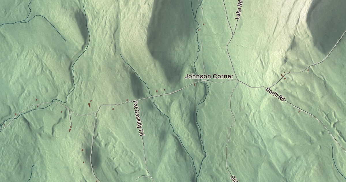
Bingham sits beside the Kennebec River on the old road north to Canada. This map of Bingham prints Main Street and River Road, along with Bingham Road, Lake Road, Old Lake Road, North Road and Johnson Corner. Click here to purchase a print of this map for your wall.
Bingham is a town in Somerset County, where 866 people lived at the 2020 census.
KNOWOL made this map in 2026 from public survey data and gave it the color and lettering of an old atlas. United States Geological Survey elevation data gives the hills their shading, and the Census Bureau supplies the roads and the town line around 35.32 square miles. Jackson Brook and the Kennebec River drain the town, which has Moscow to the north, Brighton Plantation to the east and Solon to the south.
Named for a Philadelphia banker
Bingham was first settled in 1785, and it carries the name of William Bingham, a Philadelphia banker and United States senator who at one time owned about two million acres of Maine, the lands known as the Bingham Purchase. He drew several townships and bought others when Massachusetts disposed of its unsettled Maine lands by lottery in 1786, and he later took over a second million-acre tract that General Henry Knox couldn’t develop. The town was incorporated on February 6, 1812. By 1859, when 752 people lived here, it had two sawmills and two gristmills running on water power.
Bingham lies on the Old Canada Road, now U.S. Route 201, which from 1820 to 1860 was the main link between Lower Canada and Maine. Between Solon and the border, Route 201 is now called the Old Canada Road National Scenic Byway. Bingham also became an important Maine Central Railroad loading point for pulpwood floated down the Kennebec to Wyman Dam, until environmental rules cut back log driving in the 1970s. Wyman Dam, built in 1930 in neighboring Moscow, stands 155 feet high and holds back Wyman Lake.
Several people from Bingham made their names far away. Ephraim W. Young, born here in 1821, went to Harvard, taught in Lowell, Massachusetts, and then moved west to serve in the Wisconsin State Assembly. Horace B. Wilson, born here the same year, taught mathematics and civil engineering at Hamline University in Minnesota. Bill Potter grew up in Bingham, served in the Army Air Forces in World War II and became a singing cowboy in Western movies of the late 1940s, and in 1957 he won an episode of Arthur Godfrey’s Talent Scouts. Gadabout Gaddis, the fishing host of the television show The Flying Fisherman, lived in Bingham, and the Gadabout Gaddis Airport here was his base. He flew himself to his fishing spots in a Piper Cherokee.
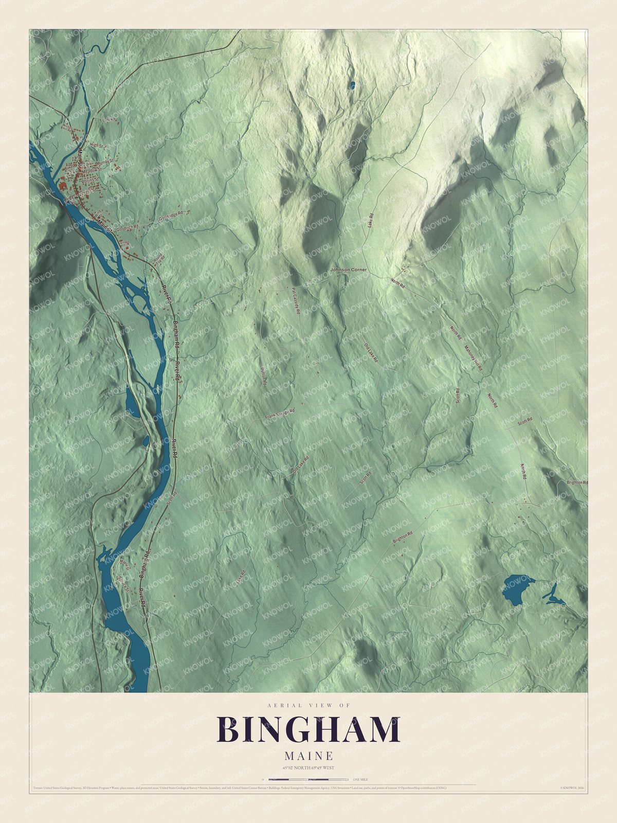
Click to explore a larger preview. The digital watermark does not appear on printed maps.
See it on a wall
The Bingham map as a framed print. Swipe for more.


Main Street and the river
Main Street is printed on the map. On South Main Street, which is U.S. Route 201, stands the Bingham Free Meetinghouse. In 1835 the town’s churches agreed to share the cost of a building, and it was finished in 1836, the first church built north of Caratunk Falls. Its page describes a mix of Federal and Gothic Revival features: Gothic lancet windows, a belfry on eight columns under a bell-shaped steeple, and the original pulpit and box pews inside. The Congregationalists eventually took it over, and when attendance fell off, a chapter of the Daughters of the American Revolution saved it from demolition and later gave it to the town. It was listed on the National Register of Historic Places in 1976.
The county’s register list also names Bingham for the Arnold Trail to Quebec, listed in 1969, which runs along the Kennebec River and on through Wyman and Flagstaff lakes, the Dead River and the Chain of Ponds to Quebec. River Road, Bingham Road, Lake Road, Old Lake Road and North Road are printed on the map, with Johnson Corner.
This Bingham map makes a handsome addition to an office, library or den, and it can teach children the geography and history of a Kennebec River town. It’s made for anyone who calls Bingham home, from Johnson Corner to Main Street, as it looks today. Zoom in on the preview above to explore the details, then click here to get your copy of the Bingham, Maine map.

Sources
- Bingham, Maine, Wikipedia
- William Bingham, Wikipedia
- Bingham Purchase, Wikipedia
- U.S. Route 201, Wikipedia
- Wyman Dam, Wikipedia
- Ephraim W. Young, Wikipedia
- Horace B. Wilson, Wikipedia
- Bill Potter (musician), Wikipedia
- Gadabout Gaddis, Wikipedia
- Bingham Free Meetinghouse, Wikipedia
- National Register of Historic Places listings in Somerset County, Maine, Wikipedia