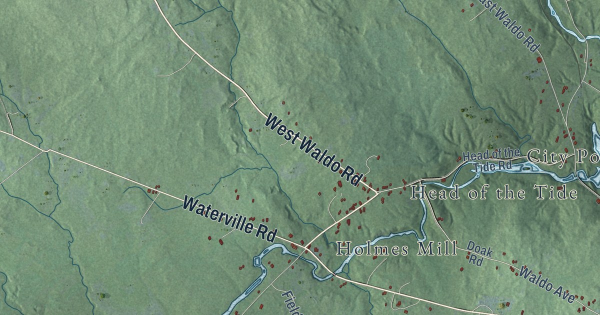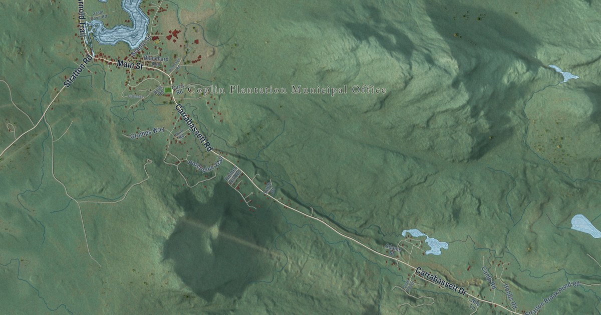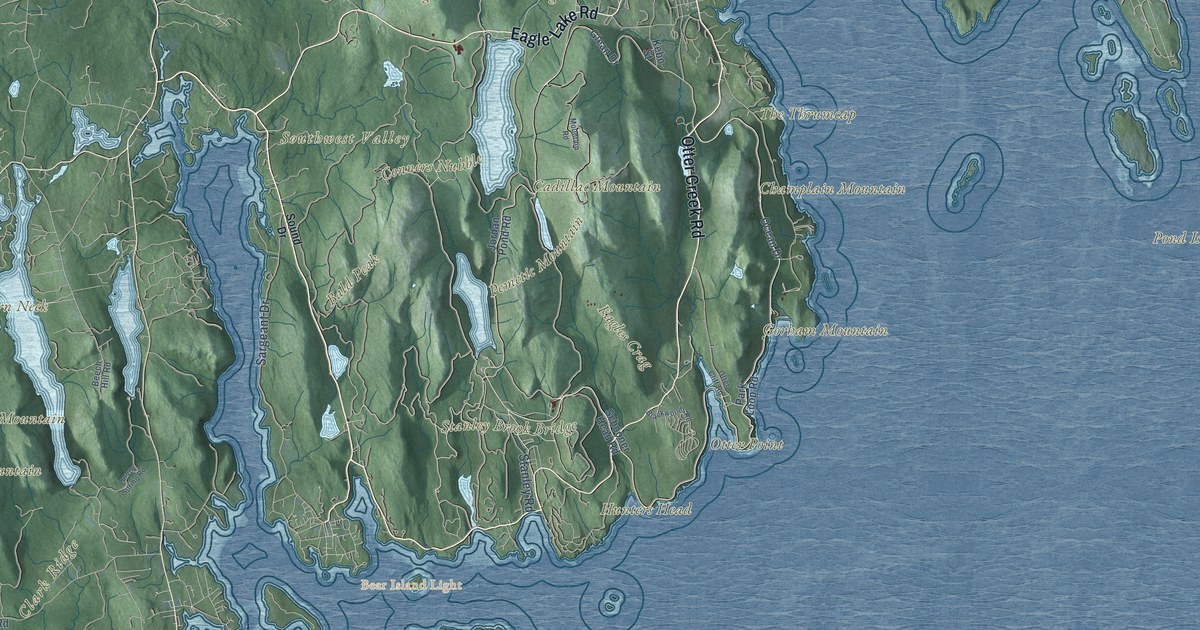
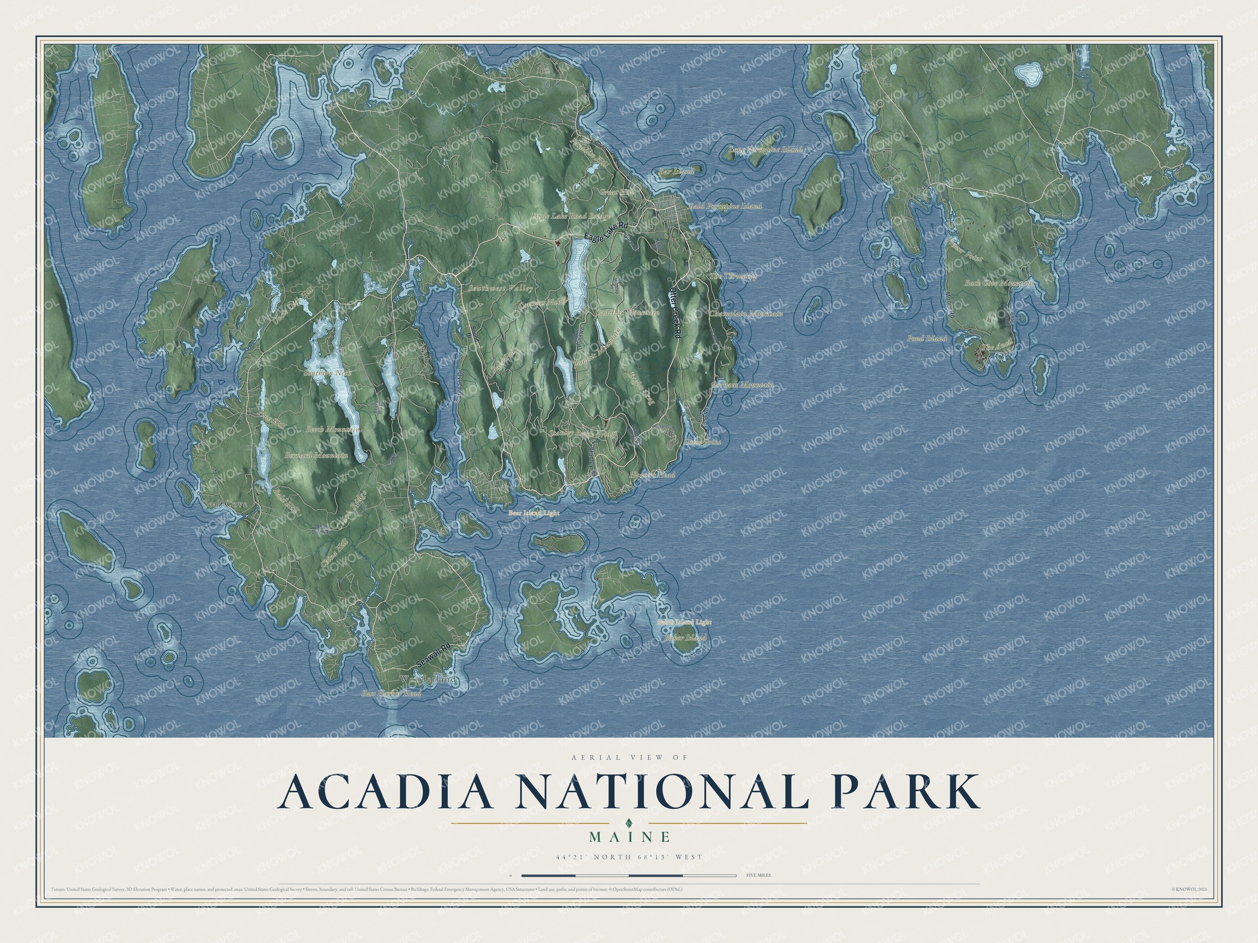
This beautifully detailed map of Acadia National Park was created in 2026 using aerial imagery combined with modern topographical, census, street and landmark data. It covers the park on Mount Desert Island, where rounded mountains rise straight from the sea, and reaches east to the Schoodic Peninsula and out to the small islands offshore. Shaded topographic relief shows the summits and the valleys between them, and many of the park’s names follow the land itself, curving along the ridges and shores they belong to.
Explore an aerial view of Acadia National Park
On the map you’ll find Cadillac Mountain, Champlain Mountain, Pemetic Mountain, Gorham Mountain, Beech Mountain, Bernard Mountain, Bald Peak, The Anvil, Otter Point, Bass Harbor Head, Wonderland, Frazer Point, Bar Island, Long Porcupine and Bald Porcupine islands, and the Baker Island and Bear Island lights, along with the Park Loop Road, Ocean Drive, Jordan Pond Road, Sargeant Drive and East Schoodic Drive. If you’ve watched the sunrise from Cadillac or hiked its ridges, zoom in on the preview to find the spot you remember.
Did You Know?
From the National Park Service: “Samuel de Champlain, a French navigator and cartographer, sailed by Mount Desert Island in 1604. He named it ‘Isles des Monts Desert,’ with the accent on the last syllable, as it is in the French language.”
The French name means “island of barren mountains,” which is why you’ll hear Mount Desert said both like the dry place and like the after-dinner treat. People have lived here for more than 12,000 years, beginning with the Wabanaki, the “People of the Dawnland.” By 1915 the island had more than 200 miles of hiking trails, some climbing the cliffs on stone steps and iron rungs. That same year Maine lifted the island’s ban on automobiles, and as the cars came, John D. Rockefeller Jr. built carriage roads for horses and walkers only, more than 40 miles of them by 1941. Work on the Park Loop Road began in 1927, and its last stretch was finished in 1958, as the park’s history of its roads explains. The park took the name Acadia in 1929; before that it was Lafayette National Park.
Take a closer look at the Acadia National Park map
See it on a wall
The Acadia National Park map as a framed print. Swipe for more.


This beautifully detailed map of Acadia National Park makes an attractive addition to your office, library, or den, and it can even be used to teach children how the mountains, the sea and the islands fit together. It also makes a great gift for anyone who has summered on Mount Desert Island or is planning a first trip. When you’re done exploring, click here to get your copy of the Acadia National Park map.