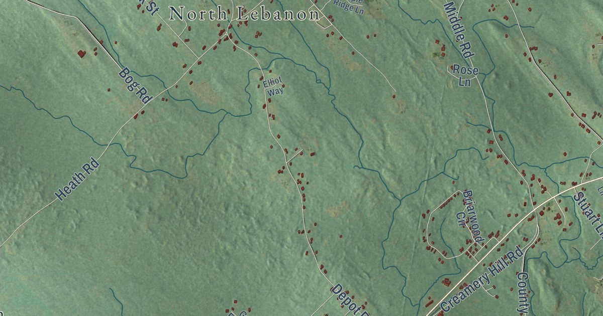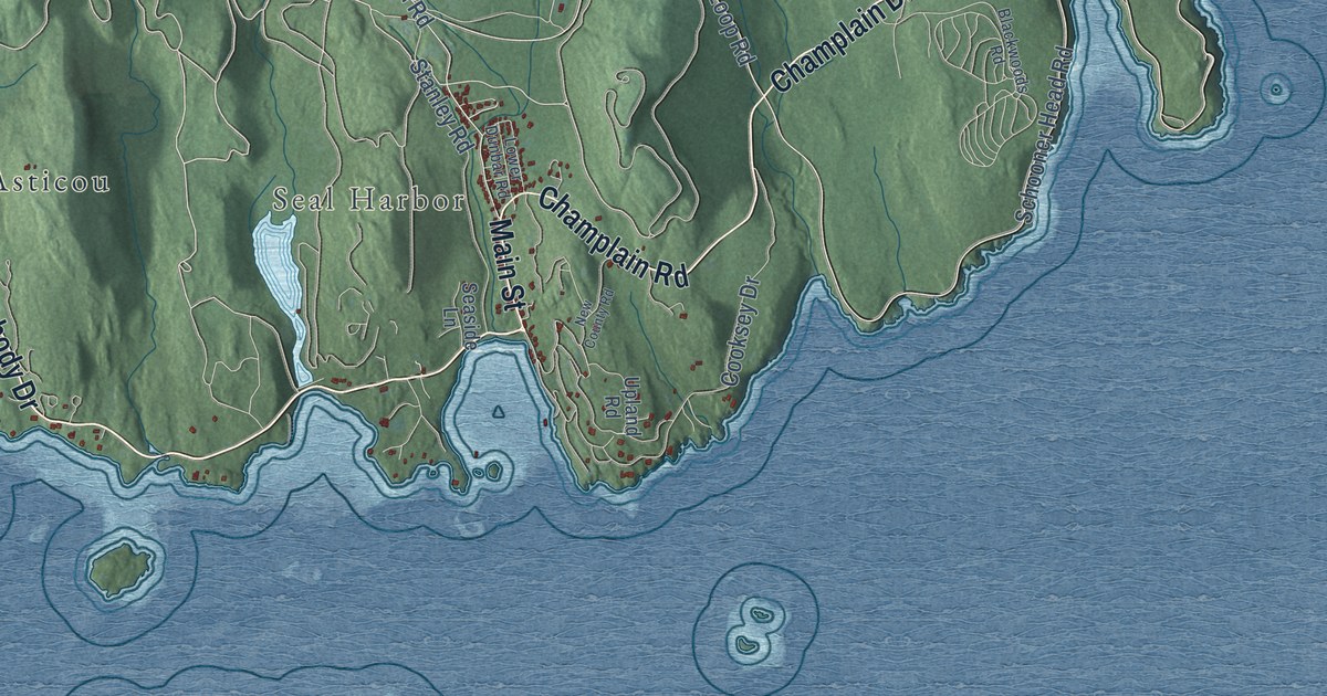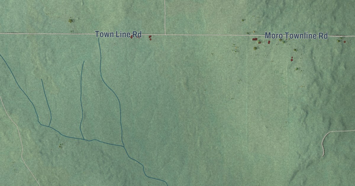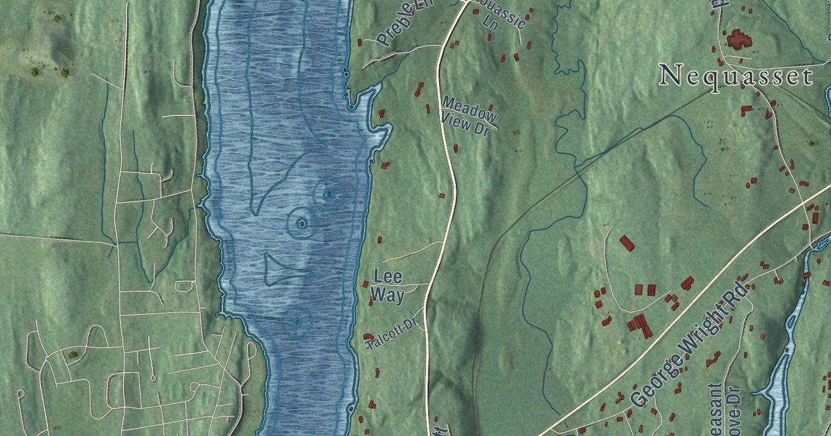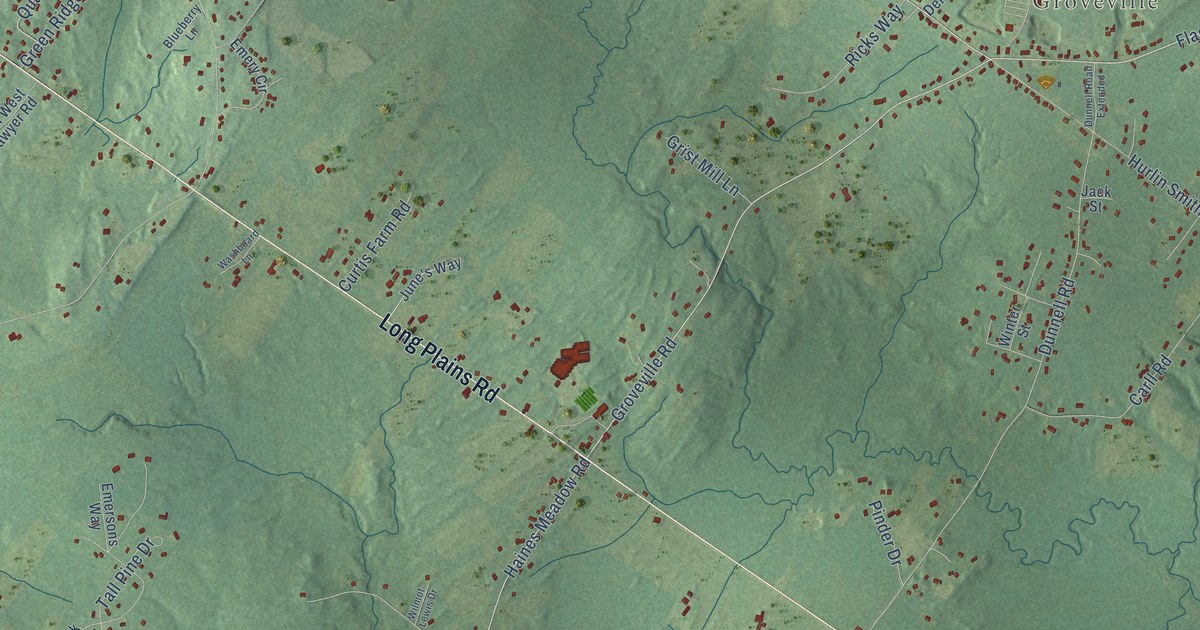
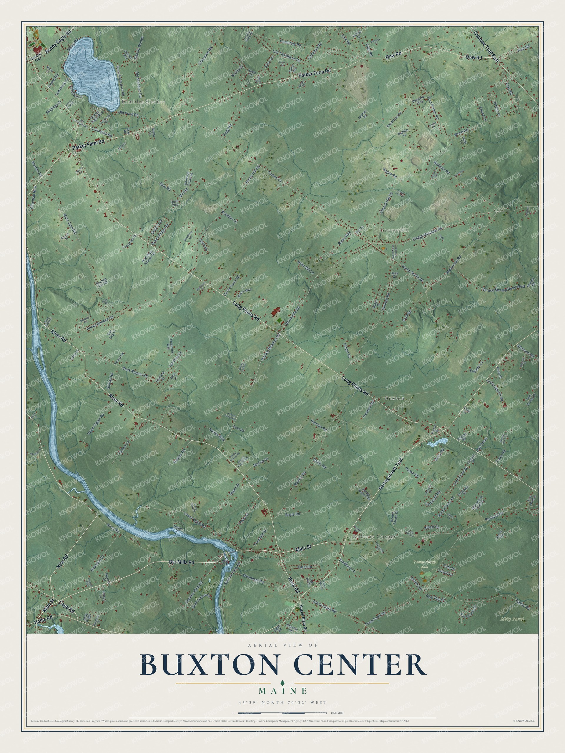
This beautifully detailed map of Buxton Center, Maine was created in 2026 using aerial imagery combined with modern topographical, census, street and landmark data. It’s a one-of-a-kind view of Buxton Center that combines accurate data with a vintage aesthetic. The map shows every building in its true location, many of the roads carry their names, and the shaded topographic relief shows the shape of the land.
Explore an aerial view of Buxton Center, Maine
On the map you’ll find Kimbles Corner, Roberts Corner, Groveville, Libby Parcel, Town Farm Park, and Buxton, along with Main Street, New Road, Long Plains Road, River Road, Narragansett Trail, Parker Farm Road, and more. If you look closely you can even find your house accurately drawn in its correct location. Zoom in on the preview to look for yours.
Did You Know?
From Internet Archive: "At the annual town meeting March 4, 1912, it was voted to build a Graded School Building at Bar Mills, and a High and Common School Building at Buxton Center."
Buxton Center is a community in York County.
Take a closer look at the Buxton Center map
Names on this map
These names are printed on this map.
Places: Kimbles Corner, Roberts Corner, Groveville, Libby Parcel, Town Farm Park and Buxton.
Streets and roads: Main Street, New Road, Long Plains Road, River Road, Narragansett Trail, Parker Farm Road, Bar Mills Road, Dow Road, Ossipee Trail East, Hollis Road, Cape Road, Bonny Eagle Road.
More street names, A to Z
Acadian Lane, Albert Circle, Allen Avenue, Atkinson Road, Back Nippen Road, Beech Plain Road, Benjamin Lane, Berry Road, Blueberry Lane, Bonnie Eagle Boulevard, Bonny Eagle Pond Road, Bowder Road, Boyle Road, Boynton Road, Bradbury Lane, Brown Road, Bunting Hill Road, Burton Drive, Callahan Road, Canal Road, Captain's Way, Carll Road, Celtic Road, Cemetery Road, Chadwick Drive, Charlies Lane, Cheechako Road, Chicopee Road, Christian Row, Church Hill Road, Clay Road, Colony Lane, Corn Field Road, Cornfield Road, Cote Drive, Country Club Road, Curtis Farm Road, Daisy Lane, Davis Road, Dean Road, Deer Run Drive, Dell Lane, Dennis Woods, Depot Street, Dewayns Way, Diamond Drive, Dow Lane, Dundee Circle, Dunnell Road, Dunnell Road Extended, East Wind Drive, Eaton Drive, Edgewood Road, Elden Road, Elliott Avenue, Ember Lane, Emersons Way, Emery Circle, Emma Lane, Eveleth Lane, Evergreen Drive, Ferncroft Road, Fieldcrest Drive, Fifield Drive, Files Road, Finn Parker Road, Flaggy Meadow Road, Fogg Road, Forest Vw, Fountain Street, George Sawyer Road, Gilman Road, Golf Course Lane, Gray Road, Green Ridge Road, Grist Mill Lane, Ground Hog Hill Road, Groveville Road, Hague Road, Haines Meadow Road, Hanson Lane, Harmon Road, Hemlock Hollow Way, Henderson Road, Henry Hill Road, Hermit Thrush Drive, Holly Ridge, Holmes Road, Huntley Way, Hurlin Smith Road, Jack Street, Jerusha Ridge Road, Jesse Daniel Drive, Jessies Way, Jordan Drive, Joshua Lane, June's Way, Justin Merrill Road, Kairos Way, Kermit Pond Road, Kevin Circle, Laura Lane, Lawrence Lane, Limington Road, Lindy Lane, Line Road, Lowell Road, Lower Egypt Road, Mary Jane Road, Maxine Drive, Meadow Brook Lane, Mertie Drive, Mill Road, Murray Drive, Myrtle Lane, Nason Drive, Nightjar Lane, Oak Creek, Old Limington Road, Old Orchard Road, Old Pond Road, Old Standish Road, Old Thompson Road, Overlook Drive, Palmer Road, Park Place, Paucek Road, Paulin Drive, Pease Road, Pennell Road, Pheasant Lane, Pheasant Ridge, Pierce Drive, Pinder Drive, Pine Country Drive, Pond View Drive, Portland Road, Proprietors Road, Quail Trail, Quail Trce, Rankin Road, Ricks Way, River Ridge Drive, Rocky Dundee Road, Rowe Road, Ruel West Sawyer Road, Russell Drive, Rust Road, Salmon Falls Road, Scotts Drive, Sea Dog Lane, Seavey Drive, Shady Lane, Sheba Lane, Shore Road, Shortill Farms Road, Skillings Drive, Skip Road, Sokokis Trail, Spiritwood Circle, Spruce Swamp Road West, Stonewall Crossing, Sunset Cove Road, Sunshine Drive, Tall Pine Drive, Tapley Road, Tarbox Lane, Timber Creek Drive, Tory Hill Drive, Towle Street, Town Farm Road, Townsend Road, Tracy Road, Treadwell Road, Turkey Lane, Twin Brooks Drive, Upper Egypt Road, Viola Lane, Warren Road, Washboard Lane, Waterman Road, Webster Road, Whispering Pines Drive, Wilmot Lewis Drive, Windy Meadow Road, Winter Street, Woodman Road, Wood Road.
See it on a wall
The Buxton Center map as a framed print. Swipe for more.


This beautifully detailed map of Buxton Center makes an attractive addition to your office, library, or den, and it can even be used to teach children the geography and history of the area. It also makes a great gift for someone who left Buxton Center and still calls it home. When you’re done exploring, click here to get your copy of the Buxton Center map.